Оберіть похід за часом
| Ваш час | Стиль | Логістика | Примітка щодо ризику |
|---|---|---|---|
| 2–3 години | Ділянка набережної / край міського лісу | Пішки/громадським транспортом з центру міста | Низький — все одно візьміть воду |
| 4–6 годин | Помірний маршрут North Shore або регіональний маршрут | Автомобіль або обережний транзит + пішки | Бруд, коріння, час на розворот |
| Цілий день | Більша мета / доступ до альпійських районів (сезонно) | Ранній старт обов'язковий | Погода, снігові ділянки, втомлене водіння |
Беззаперечні речі
- Офлайн-карта + ви повідомили комусь свій план.
- Дощовик, навіть якщо ранок здається безхмарним.
- Один маршрут на день для відвідувачів — накладання призводить до травм щиколоток.
Помірно складні походи · За навичками · План на випадок дощу
Приклад пішохідного дня з центру міста
- Перевірте прогноз погоди та примітки до маршруту напередодні ввечері; візьміть дощовик навіть у липні.
- Виїжджайте раніше, щоб знайти паркування/транспорт; починайте рух по стежці до середини ранку.
- Час розвороту: починайте спуск із запасом денного світла — Північний берег темніє під кронами дерев.
- Після походу: легка їжа в Північному Ванкувері або назад у центр — пропустіть амбітні вечері в той же вечір.
Примітки щодо безпеки на маршруті
- Завантажуйте офлайн-карти; стільниковий зв'язок зникає на багатьох маршрутах Північного берега.
- Повідомте когось про свій маршрут та очікуваний час повернення — особливо якщо ви йдете в похід наодинці.
- Після сильного дощу настили та коріння стають слизькими; повертайтеся назад, якщо рівень струмків піднімається.
- Парковки на популярних початках маршрутів заповнюються до середини ранку у сонячні вихідні.
Пов'язані: Помірні походи · Пересування · План на дощовий день
· Факти перевірено за офіційними джерелами, де є посилання · Редакційна політика
Опубліковано 2026-07-13 · FanVancouver Travel Desk
Піші прогулянки — це те, що Ванкувер робить найкраще: каньйони тропічних лісів за 25 хвилин від центру міста, бірюзові льодовикові озера за 90 хвилин по шосе, альпійські хребти над Whistler. Цей путівник показує маршрути, які варті зусиль, згруповані за складністю, а також правила отримання дозволів, які можуть здивувати відвідувачів. Для 12 помірних класичних маршрутів з повною статистикою див путівник з помірних походів; для дня вершини Sunshine Coast див. Tin Hat.
Легко (1–2 години, кросівки підійдуть)
- Lighthouse Park (Вест Ван, 30 хв) — 500-річні кедри та гранітні скелі над океаном; найкращий вид на маяк зі стежки West Beach. Приїжджайте до 10:00, парковка заповнюється.
- Lynn Canyon (Північний Ван, 25 хв) — безкоштовний підвісний міст, кільцеві стежки дощового лісу та водойма для купання 30 Foot Pool. Безкоштовна і майже така ж хороша альтернатива Capilano.
- Quarry Rock (Діп Коув, 30 хв) — 1,5–2 год туди й назад до гранітної скелі над фіордом Індіан Арм; поєднайте з каякінгом у Діп Коув та медовим пончиком.
- Пірс Айоні (Річмонд, 30 хв) — абсолютно рівна коса довжиною 4 км, що тягнеться прямо в море; найнедооціненіший захід сонця в місті.
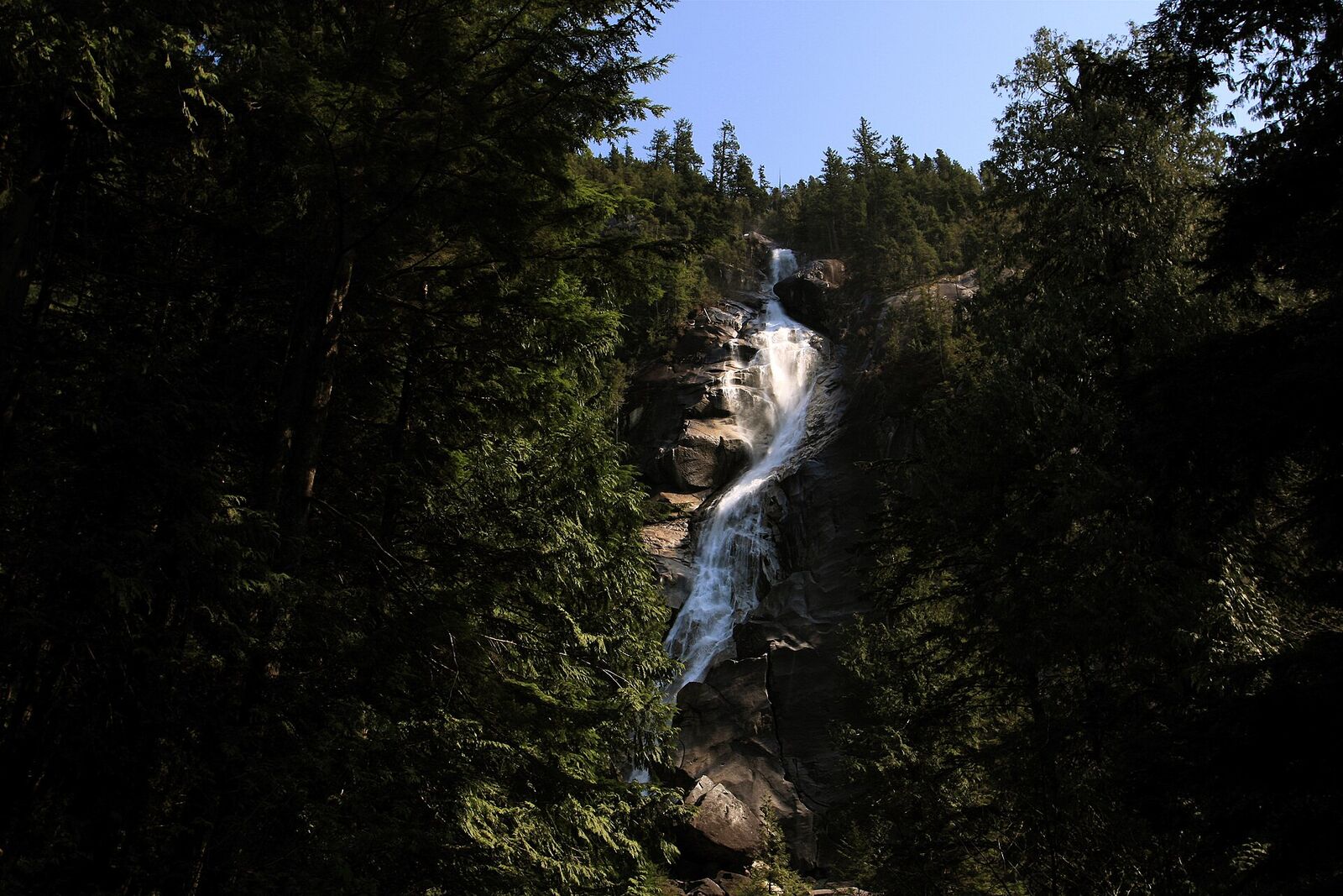
- Стежка Панорама (Гондола Sea to Sky, 55 хв) — підніміться гондола (~70 канадських доларів) до 880 м і прогуляйтеся від однієї оглядової точки до іншої; подивіться на водоспад Шеннон із парковки.
Середній (пів дня, відповідне взуття та вода)
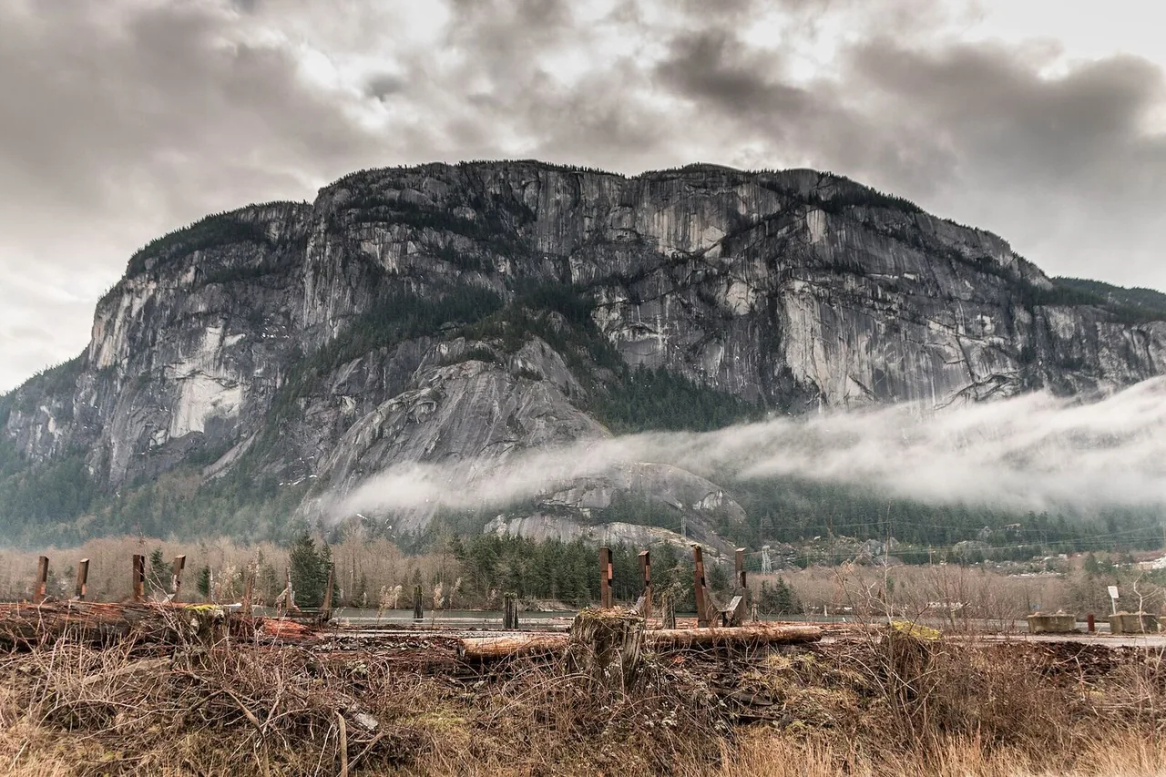
- Ставамус Чіф, Перший Пік (Сквоміш, 1 год) — 2,5–3 години нескінченних сходів, коріння та ланцюгів до гранітного купола над Хау-Саунд. Найпопулярніший «справжній похід» у Британській Колумбії; починайте рано.
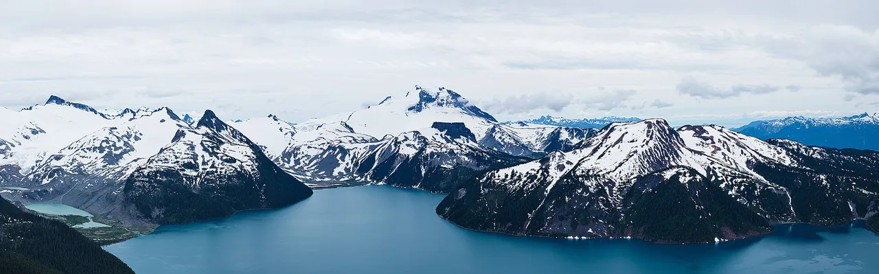
- Озеро Гарібальді (1,5 год) — 18 км, 5–6 годин туди й назад до неймовірно бірюзового озера під льодовиком. Обов'язковий безкоштовний денний пропуск червень-вересень — випущено за 2 дні, 7:00, на bcparks.ca.
- Вершина Святого Марка (Cypress, 30 хв) — 4–5 годин до оглядових майданчиків на краю скелі над островами Howe Sound.
- Grouse Grind (Північний Ванкувер, 25 хв) — 2 830 сходинок прямо вгору; місцеві жителі ставляться до цього як до спортзалу. Тільки вгору — спускайтеся на Skyride (~20 канадських доларів).
Помірні класичні маршрути, рекомендовані місцевими жителями
Це маршрути на півдня та на цілий день, про які жителі Ванкувера сперечаються на Reddit — усі переписані примітки до маршрутів, а не скопійовані:
| Стежка | Доступ | Час / відстань | Примітки |
|---|---|---|---|
| Tunnel Bluffs | Lions Bay, 45 хв їзди | 3–4 год, 550 м набору висоти | Види на Howe Sound з краю скелі; паркуйтеся біля громадського центру Lions Bay, якщо парковка Tunnel Point закрита; з'єднувач Harrison Trail |
| Стежка High Note Trail | Вістлер, 2 год їзди + зона гондол | 4–5 год петля | Альпійські луки та краєвиди озера над Symphony Bowl; лише влітку, коли немає снігу |
| Ельфійські озера | Garibaldi PP, 1,5 год після Скваміша | 6–7 год, 22 км | Сідловина між двома альпійськими озерами; популярний притулок для ночівлі — денний абонемент потрібен з червня по вересень |
| Кільцевий маршрут на горі Гарднер | Острів Боуен, 20 хвилин на поромі | 4–5 год | Пором від Хорсшу-Бей, потім лісовий кільцевий маршрут до вершини острова; майте карту — легко пропустити роздоріжжя |
| Гора Елк | Долина Чіллівак, ~2 год | 5–6 год, крутий підйом | Безперервний підйом до скелястої вершини з краєвидами на долину Фрейзер; під'їзд по нерівній лісовій дорозі |
| Пік Чіам | Біля Хоупа, ~2 год | 4–5 год | Одна з найкращих панорам у долині Фрейзер; потрібен автомобіль з високим кліренсом на лісовій дорозі |
| Гай Фоллс Крік | Район Хоупа, ~2 год | 5–6 год | Численні водоспади та альпійські луки; довгий, але рівномірний підйом |
| Озеро Статлу | Район Ліллует, ~3,5 год. | Цілий день | Бірюзове альпійське озеро; важкий під'їзд по лісовій дорозі – рекомендовано 4WD; деякі ночують біля озера |
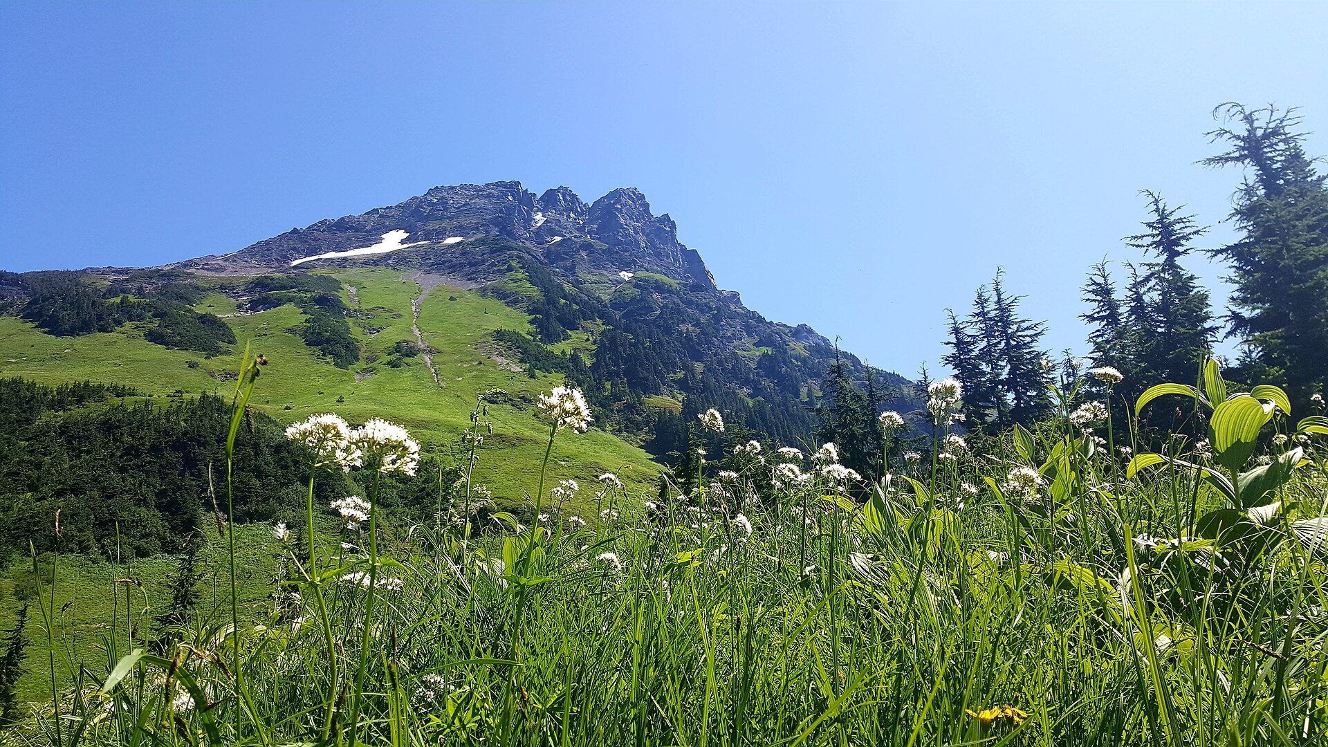
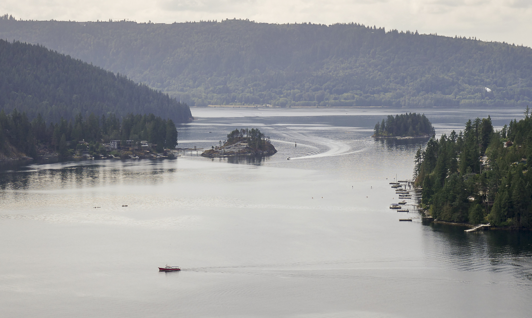
Важко (цілий день для підготовлених, екіпірованих туристів)
- Озера Джоффре (2,5 год, за Пембертоном) – три льодовикові озера зі сходами; часто фотографуються, справді круті. Обов'язковий безкоштовний денний пропуск (та ж система BC Parks). Перевіряйте сезонні закриття — парк закривається для використання корінними народами на кілька тижнів щороку.
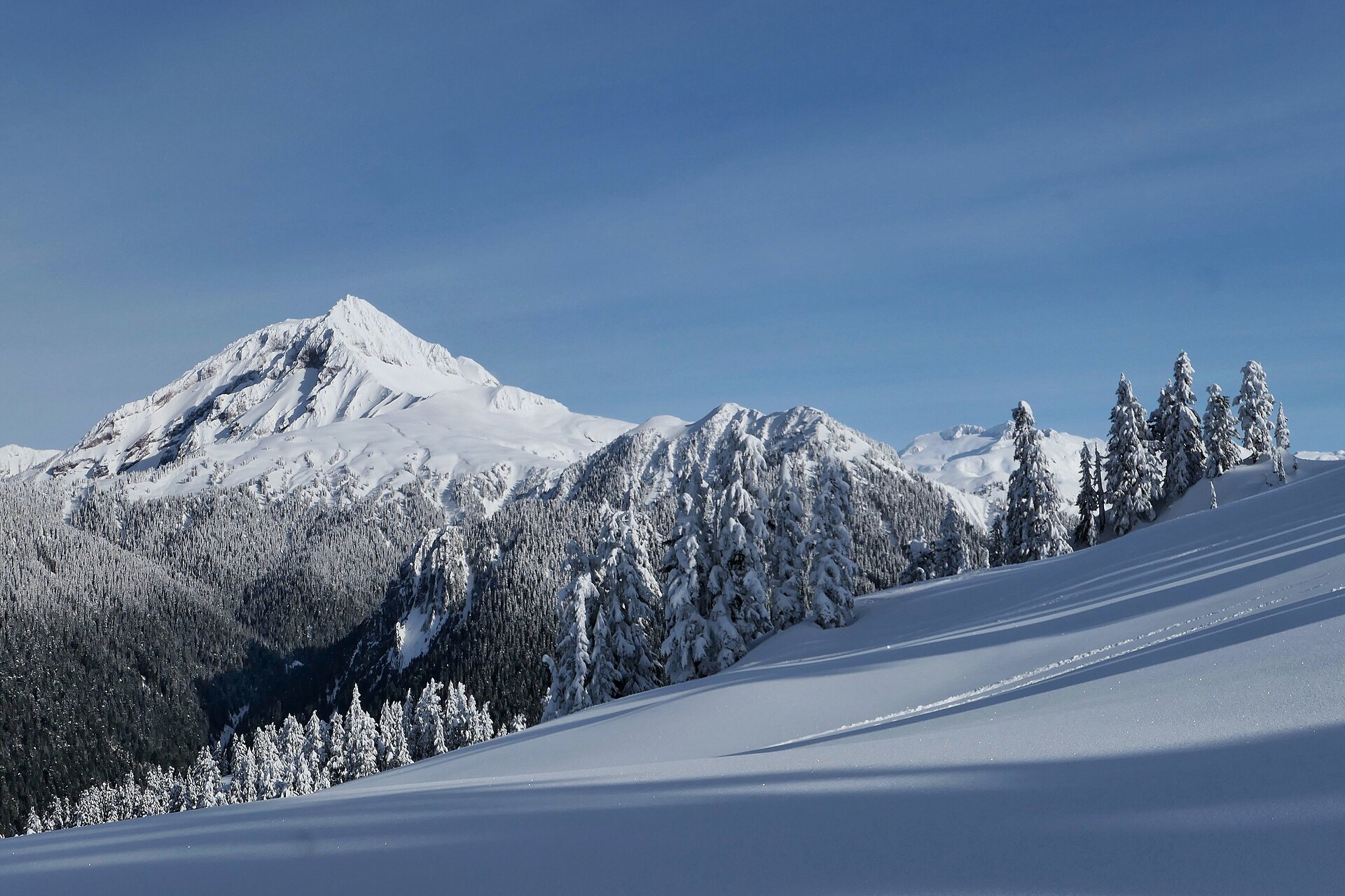
- Панорамний хребет (Гарібальді, 1,5 год) — 30 км, 11–12 год, краєвид, як на листівці, прямо на озеро Гарібальді. Почніть на світанку або розташуйтеся табором у Taylor Meadows (посібник із бронювання).
- Гора Фрості (Парк Меннінг, 2,5 год) — 22 км до найвищої вершини парку; вирушайте в останній тиждень вересня, коли модрини стануть золотими.
Правила, які збережуть вам життя (і вбережуть від штрафу)
- Тут живуть ведмеді. Чорні ведмеді поширені на всіх стежках North Shore та Sea-to-Sky: шуміть, тримайте собак на повідку, ніколи не годуйте та не наближайтеся, носіть ведмежий спрей під час великих походів. Зустрічі з пумами рідкісні, але реальні.
- Погода швидко змінюється вище 800 м; сніг тримається до липня на високих маршрутах. Завжди беріть з собою додатковий шар одягу + дощовик і повідомте комусь про свій план. North Shore Rescue безкоштовна, але ви не захочете з ними зустрічатися.
- Денні перепустки (Garibaldi, Joffre): відсутність перепустки = штраф 115 канадських доларів, і вас розвернуто.
- Крадіжки з автомобілів — злочин №1 — нічого видимого в машині.
- Повні каталоги стежок: vancouvertrails.com та AllTrails. Актуальні умови та закриття: bcparks.ca сторінки парку.
← Дослідити центр BC — усі путівники · Путівник по місту Ванкувер
📬 Ванкувер цими вихідними
Один короткий лист щоп'ятниці: найкращі події вихідних, безкоштовні заходи та одна місцева порада. Жодних спамів, скасувати підписку можна будь-коли.