English
 Español
 Français
 Deutsch
 Українська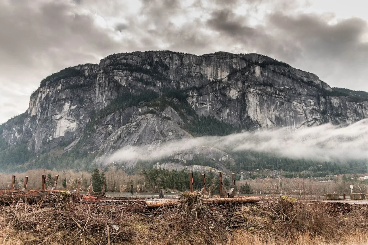
Choose a hike by time budget
| Time you have | Style | Logistics | Risk notes |
|---|---|---|---|
| 2–3 hours | Seawall segment / city forest edge | Walk/transit from downtown cores | Low — still bring water |
| 4–6 hours | Moderate North Shore or regional trail | Car or careful transit + walk | Mud, roots, turnaround time |
| Full day | Bigger objective / alpine access (seasonal) | Early start essential | Weather, snow patches, fatigue driving |
Non-negotiables
- Offline map + told someone your plan.
- Rain shell even if the morning looks blue.
- One trail per day for visitors — stacking is how ankles happen.
Sample hiking day from downtown
- Check weather + trail notes the night before; pack rain shell even in July.
- Leave early for parking/transit; start on trail by mid-morning.
- Turnaround time: start descending with daylight buffer — North Shore darkens under canopy.
- Post-hike: easy meal in North Van or back downtown — skip ambitious dinner reservations the same night.
Trail safety notes
- Download offline maps; cell service drops on many North Shore trails.
- Tell someone your route and return window — especially solo hikers.
- After heavy rain, boardwalks and roots get slick; turn around if streams rise.
- Parking lots at popular trailheads fill by mid-morning on sunny weekends.
Related: Moderate hikes · Getting around · Rainy day plan
· Facts checked against official sources where linked · Editorial policy
Published 2026-07-13 · FanVancouver Travel Desk
Hiking is what Vancouver does best — rainforest canyons 25 minutes from downtown, turquoise glacier lakes 90 minutes up the highway, alpine ridges above Whistler. This guide maps the trails that repay the effort, grouped by difficulty, with permit rules that catch visitors out. For 12 moderate classics with full stats see moderate hikes guide; for Sunshine Coast summit day see Tin Hat.
Easy (1–2 hours, sneakers OK)
- Lighthouse Park (West Van, 30 min) — 500-year-old cedars and granite bluffs over the ocean; best lighthouse view from the West Beach trail. Arrive before 10:00, the lot fills.
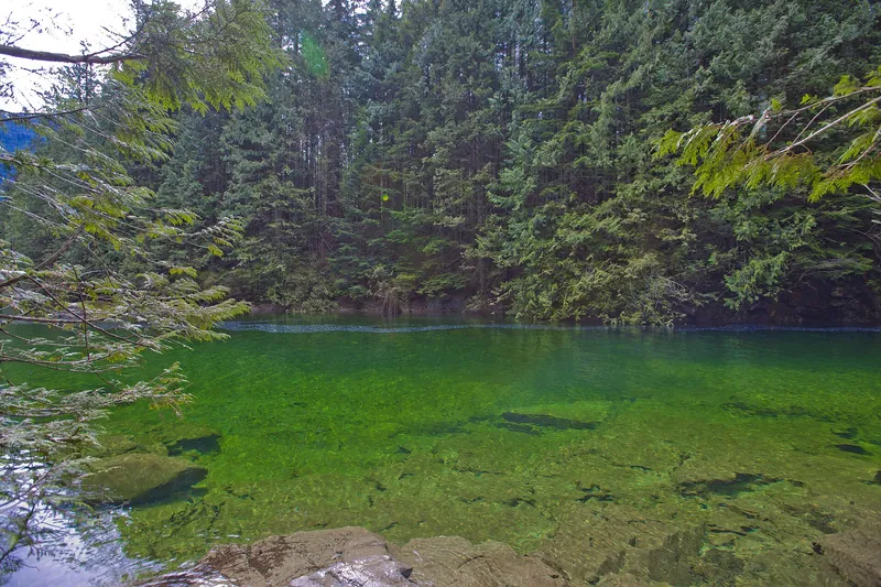
- Lynn Canyon (North Van, 25 min) — free suspension bridge, rainforest loops and the 30 Foot Pool swimming hole. The free-and-nearly-as-good answer to Capilano.
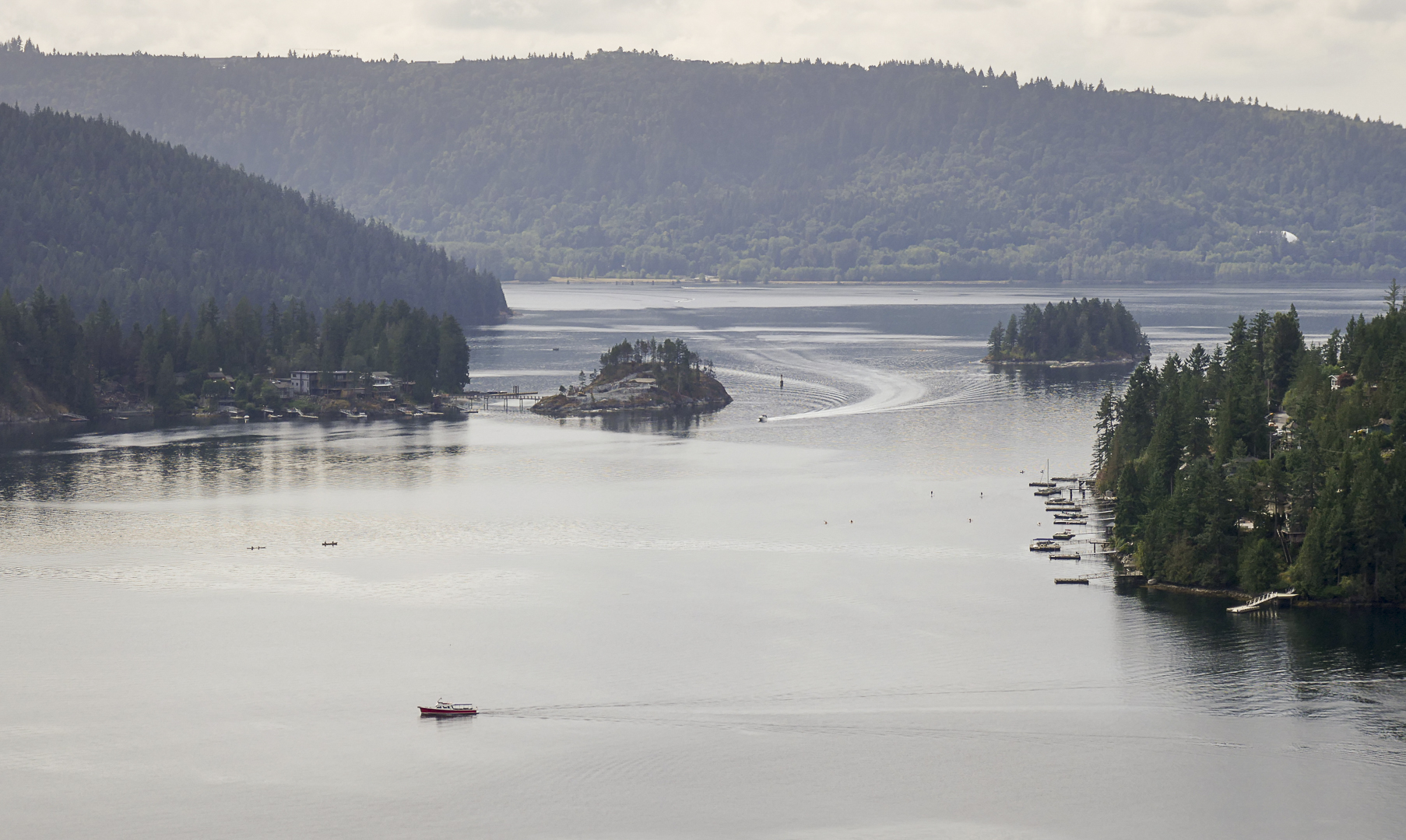
- Quarry Rock (Deep Cove, 30 min) — 1.5–2 h return to a granite bluff over Indian Arm fjord; combine with Deep Cove kayaking and a honey doughnut.
- Iona Jetty (Richmond, 30 min) — a dead-flat 4 km spit walking straight out to sea; the most underrated sunset in the city.
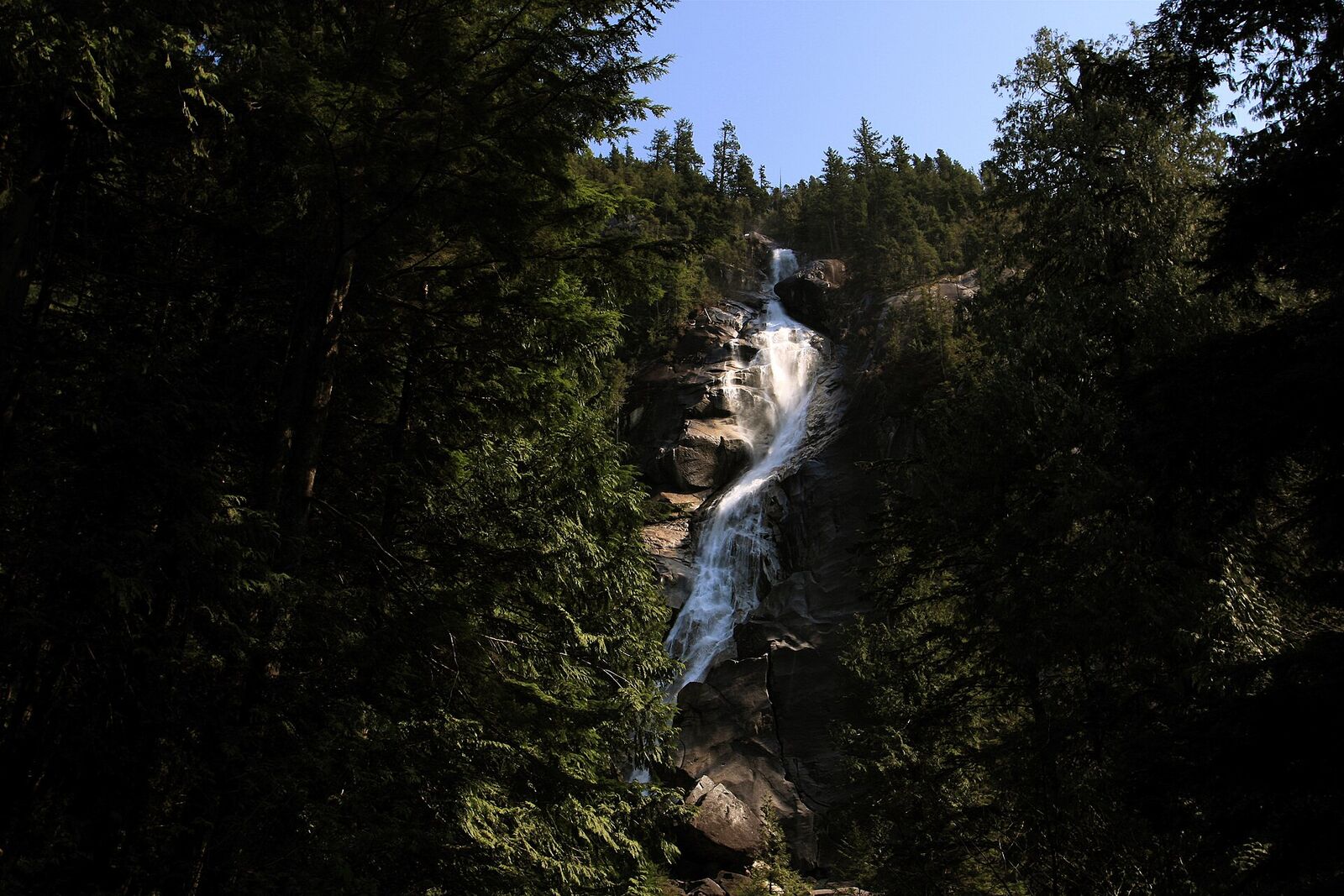
- Panorama Trail (Sea to Sky Gondola, 55 min) — ride the gondola (~C$70) to 880 m and stroll viewpoint to viewpoint; see Shannon Falls from the parking lot.
Moderate (half day, proper shoes and water)
- Stawamus Chief, First Peak (Squamish, 1 h) — 2.5–3 h of relentless stairs, roots and chains to a granite dome above Howe Sound. The most popular “real hike” in BC; start early.
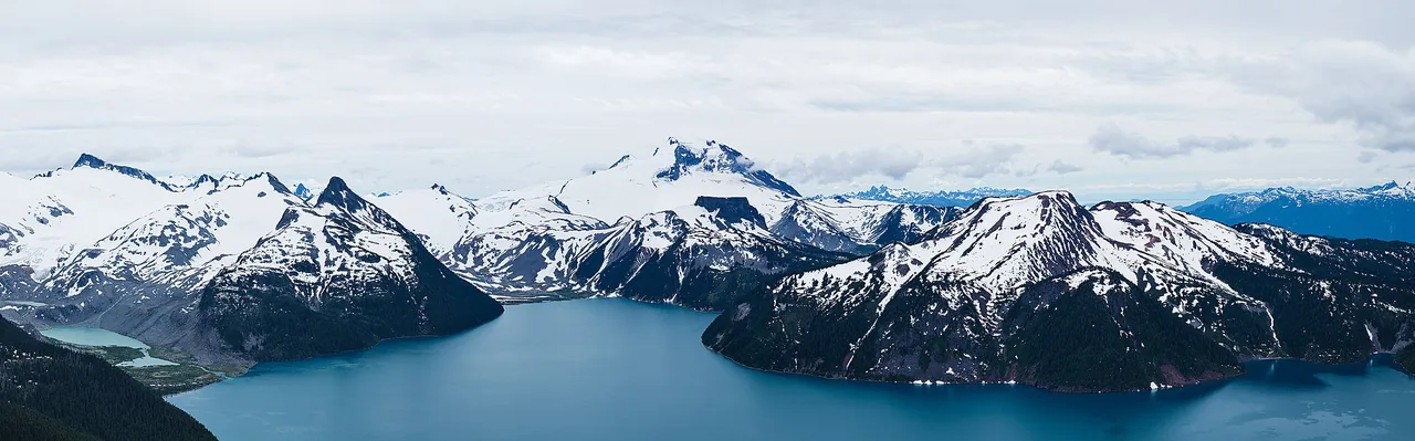
- Garibaldi Lake (1.5 h) — 18 km, 5–6 h return to an impossibly turquoise lake below a glacier. Free day pass mandatory June–September — released 2 days ahead, 7:00, at bcparks.ca.
- St Mark's Summit (Cypress, 30 min) — 4–5 h to cliff-edge lookouts over Howe Sound islands.
- Grouse Grind (North Van, 25 min) — 2,830 steps straight up; locals treat it as a gym. Up only — ride the Skyride down (~C$20).
Moderate classics locals recommend
These are the half-day and full-day trails Vancouverites argue about on Reddit — all rewritten route notes, not copy-paste:
| Trail | Access | Time / distance | Notes |
|---|---|---|---|
| Tunnel Bluffs | Lions Bay, 45 min drive | 3–4 h, 550 m gain | Cliff-edge views over Howe Sound; park at Lions Bay community centre if Tunnel Point lot is closed; Harrison Trail connector |
| High Note Trail | Whistler, 2 h drive + gondola area | 4–5 h loop | Alpine meadows and lake views above the Symphony Bowl; summer only when snow-free |
| Elfin Lakes | Garibaldi PP, 1.5 h past Squamish | 6–7 h, 22 km | Saddle between two alpine lakes; popular overnight shelter — day pass required Jun–Sep |
| Mount Gardner Loop | Bowen Island, 20-min ferry | 4–5 h | Ferry from Horseshoe Bay then forest loop to island summit; carry map — junctions easy to miss |
| Elk Mountain | Chilliwack Valley, ~2 h | 5–6 h, steep | Unrelenting climb to a rocky summit with Fraser Valley views; rough logging-road approach |
| Cheam Peak | Near Hope, ~2 h | 4–5 h | One of the best panoramas in the Fraser Valley; needs high-clearance vehicle on forest service road |
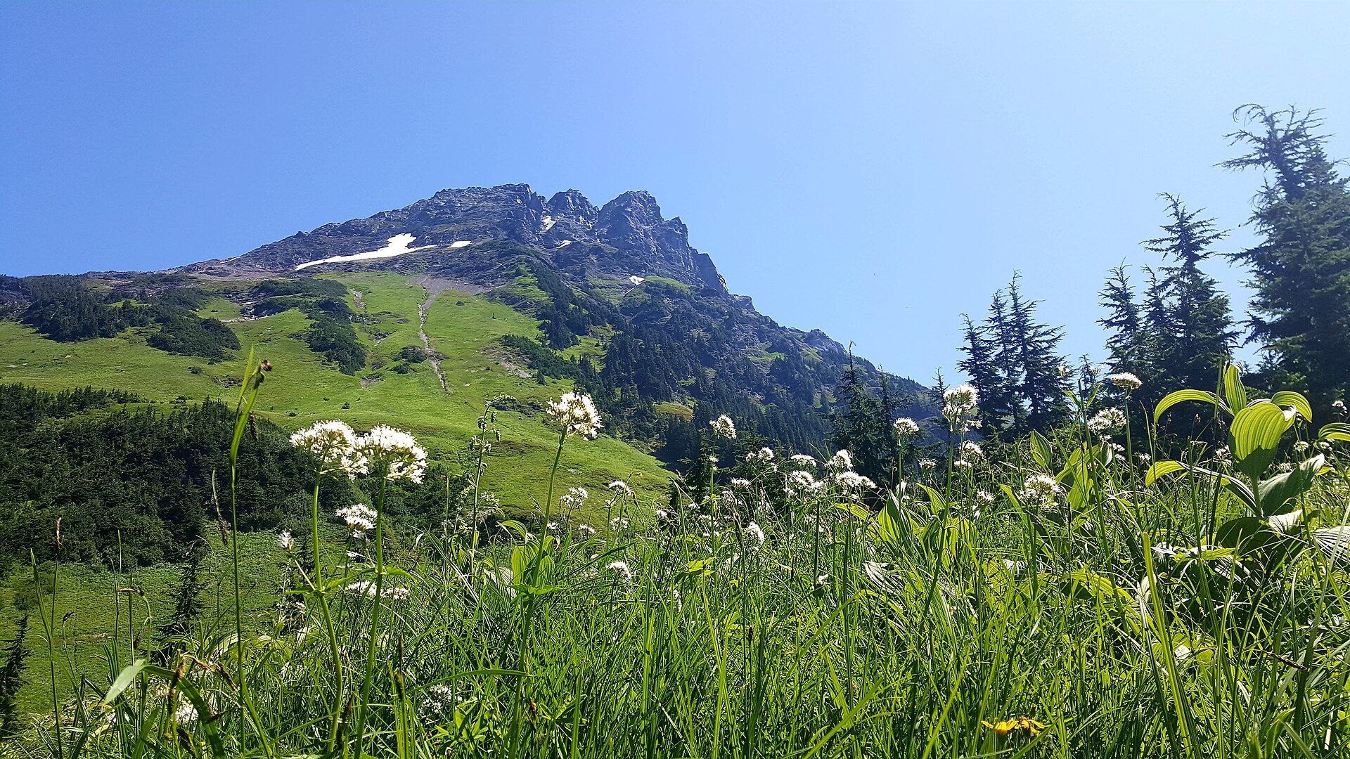
| High Falls Creek | Hope area, ~2 h | 5–6 h | Multiple waterfalls and alpine meadows; long but steady grade |
| Statlu Lake | Lillooet area, ~3.5 h | Full day | Turquoise alpine lake; rough FSR approach — 4WD recommended; some overnight at lake |
Hard (full days for fit, equipped hikers)
- Joffre Lakes (2.5 h, past Pemberton) — three ladder-climbing glacier lakes; heavily photographed, genuinely steep. Free day pass mandatory (same BC Parks system). Check seasonal closures — the park closes for First Nations use several weeks a year.
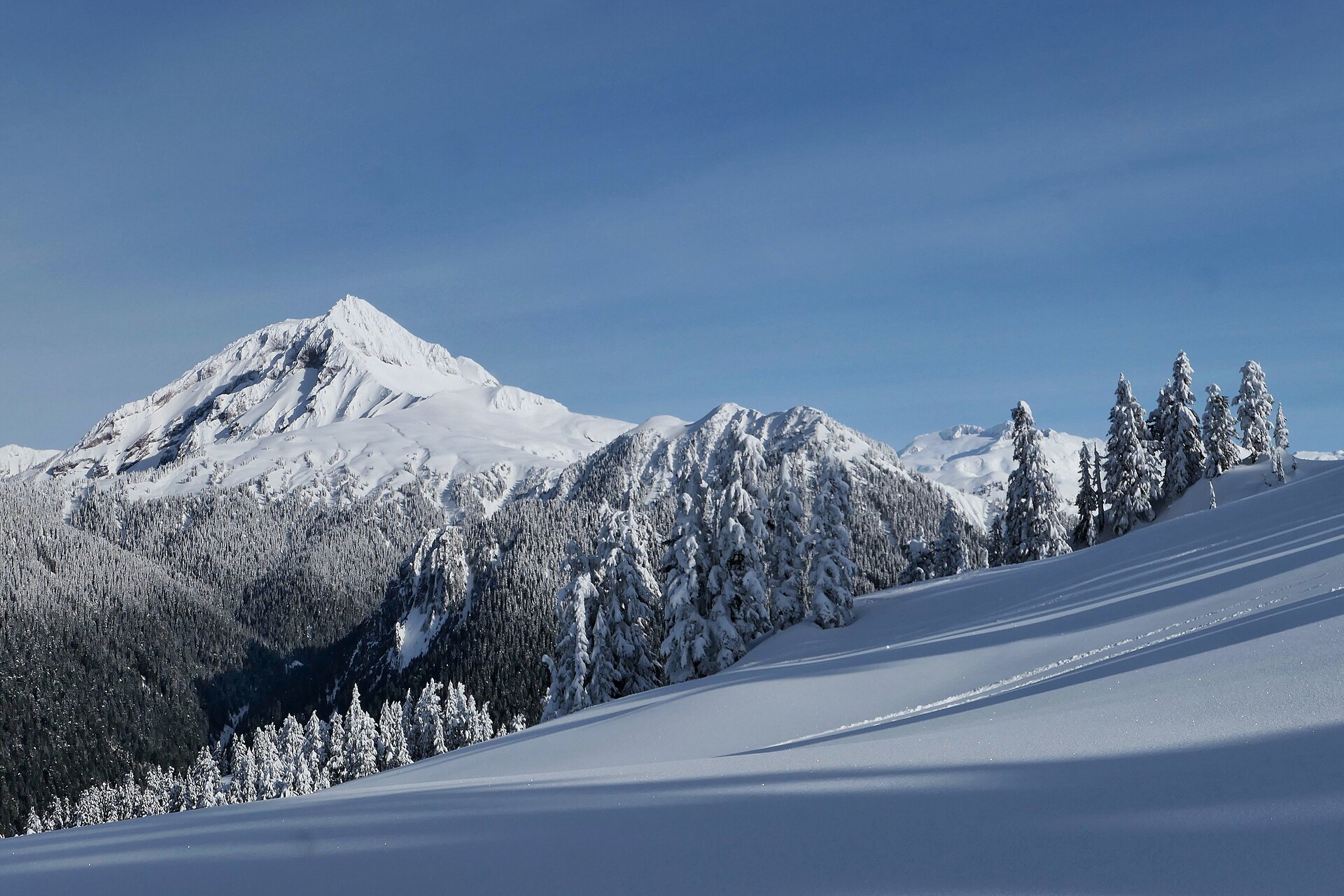
- Panorama Ridge (Garibaldi, 1.5 h) — 30 km, 11–12 h, the postcard view straight down onto Garibaldi Lake. Start at dawn or camp at Taylor Meadows (booking guide).
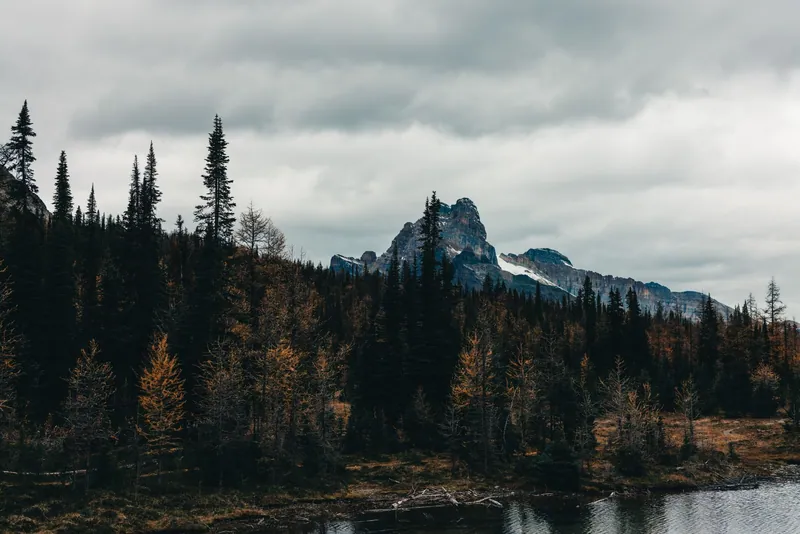
- Frosty Mountain (Manning Park, 2.5 h) — 22 km to the park's highest summit; go the last week of September when the larches turn gold.
The rules that keep you alive (and unfined)
- Bears live here. Black bears are common on all North Shore and Sea-to-Sky trails: make noise, keep dogs leashed, never feed or approach, carry bear spray on bigger hikes. Cougar sightings are rare but real.
- Weather flips fast above 800 m; snow lingers into July on high routes. Bring a layer + rain shell always, and tell someone your plan. North Shore Rescue is free but you don't want to meet them.
- Day passes (Garibaldi, Joffre): no pass = C$115 fine and you'll be turned around.
- Parking theft is the #1 crime — nothing visible in the car.
- Full trail catalogues: vancouvertrails.com and AllTrails. Live conditions and closures: bcparks.ca park pages.
← Explore BC hub — all guides · Vancouver city guide
📬 Vancouver This Weekend
One short email every Friday: the weekend's best events, free things to do, and one local tip. No spam, unsubscribe anytime.