English
Two official feeds, both refreshed automatically: street closures published by the City of Vancouver, and highway closures and major delays published by the province through DriveBC. City streets come first, because that is what most people mean by road closures in Vancouver — the highways that get you out of town are below them.
🚧 City of Vancouver street closures today
8 streets in Vancouver are closed or partly closed for construction right now, soonest to reopen first. These are the city's own road works — parade, festival and film closures are announced separately and usually only two or three days ahead.
- Alberta St. from W 49th Ave. to W 44th Ave. · through to January 2027 city detail
- Full closure to vehicle traffic: Broadway between Cambie to Alberta St · through to January 2027 city detail
- Manitoba St from W 23rd Av to W King Edward Av · through to May 2027 city detail
- Ln S of W 23rd Av from Columbia St to Manitoba St · through to June 2027 city detail
- E 22nd Av between Welwyn and Commercial St · through to June 2027 city detail
- Penticton St between Pandora and Franklin St · through to June 2027 city detail
- 2500 Quebec St from Broadway to Lane South · through to December 2027 city detail
- 2500 Yukon St · through to December 2027 city detail
15 more closures in the city feed are logged without a usable street address or have already reopened.
Highways out of Vancouver
3 full closures and 26 major delays on southwest BC highways right now, plus 75 minor lane closures not listed here.
A closure on the Sea to Sky or the Coquihalla turns a day trip into an overnight, or an overnight into a trip you never took. Refundable rates cover both: refundable hotel rates →Affiliate link — we may earn a commission at no extra cost to you.
⛔ Roads closed right now
Utility work from Highway 99, In Surrey and At 16 Avenue to In Surrey and At 24 Avenue. Starting Mon Oct 5 until Fri Oct 9. From 10:00 PM to 5:00 AM PDT the next day, weekdays.
Sea-to-Sky — Vancouver to Squamish, Whistler and Pemberton
Construction work from Highway 5, At Exit 250 to Larson Hill to At Exit 256 to Coldwater Road. Starting Tue Aug 25. Left lane closed in both directions.
Coquihalla — Hope to Merritt and Kamloops
Road maintenance. Starting Mon Aug 10. From 8:30 PM to 11:00 PM PDT, Monday.
If the route depends on a highway that can close, the flexible version of the trip is a car you pick up in the city rather than one you drove here in: compare rental cars on Expedia.ca →Affiliate link — we may earn a commission at no extra cost to you.
🚧 Major delays worth planning around
Night work from Highway 99, In Delta and At Ladner Trunk Rd to In Delta and At Highway 17. Starting Sun Oct 4 until Sun Oct 18. From 9:00 PM to 5:00 AM PDT the next day, Monday to Saturday.
Sea-to-Sky — Vancouver to Squamish, Whistler and Pemberton
Paving operations from Highway 99, In Vancouver to In Vancouver. Starting Sat Oct 10 until Mon Oct 12. From 11:00 PM to 5:00 AM PDT the next day, weekends.
Sea-to-Sky — Vancouver to Squamish, Whistler and Pemberton
Utility work from Highway 1, 11km South of Cache Creek to 12km South of Cache Creek. Starting Mon Apr 27. From 8:00 AM to 4:00 PM PDT, weekdays.
Trans-Canada — the valley, Hope and the Fraser Canyon
Utility work from Highway 1, 449m Southeast of China Bar Tunnel to 273m Northeast of China Bar Tunnel. Starting Thu Sep 17 until Sun Jan 31. From 8:00 AM to 6:00 PM PDT, every day.
Trans-Canada — the valley, Hope and the Fraser Canyon
Road construction. Starting Fri Jul 10 until Sat Oct 31. Closed.
Trans-Canada — the valley, Hope and the Fraser Canyon
Construction work. Starting Fri Jun 5 until Sat Oct 31. Watch for traffic control.
Trans-Canada — the valley, Hope and the Fraser Canyon
Construction work. Starting Wed May 6 until Wed Nov 25. Watch for traffic pattern change and speed reduction.
Trans-Canada — the valley, Hope and the Fraser Canyon
Construction work. Starting Thu Jan 29 until Tue Dec 15. From 9:00 PM to 5:30 AM PST on Monday, Tuesday, Wednesday, Thursday, and Friday.
Trans-Canada — the valley, Hope and the Fraser Canyon
Paving operations from Highway 1, In Abbotsford and Vedder Canal Bridge to In Abbotsford and Sumas Way. Starting Sun Sep 13 until Tue Oct 20. From 7:00 PM to 6:00 AM PDT the next day, weekdays and Sunday.
Trans-Canada — the valley, Hope and the Fraser Canyon
Construction work from Highway 1, Nicomen River Rd to At Exit From Highway 1 Northbound to Highway 8. Starting Tue Aug 25 until Wed Jun 30. Single lane alternating traffic.
Trans-Canada — the valley, Hope and the Fraser Canyon
Tree pruning from Highway 5, 1km North of River Heights Drive to 429m North of McLure Ferry Road. Starting Mon Sep 21 until Fri Oct 9. From 7:30 AM to 4:00 PM PDT, weekdays.
Coquihalla — Hope to Merritt and Kamloops
Bridge construction from Highway 5, In Merritt and Exit 286: Merritt - 97C to At Exit to Highway 5A North & Merritt. Starting Tue Aug 25 until Sat Oct 31. Watch for traffic control.
Coquihalla — Hope to Merritt and Kamloops
Road maintenance from Highway 3, At Snass Creek Bridge to At Skagit River #1 Bridge. Starting Mon Oct 5 until Fri Nov 6. From 7:00 AM to 5:00 PM PDT, Monday to Saturday.
Crowsnest — Hope to Manning Park and the Similkameen
Road maintenance from Highway 3, Second Avalanche Gate. Starting Wed Dec 10. Open to traffic.
Crowsnest — Hope to Manning Park and the Similkameen
Utility work from Highway 7, In Kent and 63m Southeast of Junction with Highway 9 to In Kent and 385m West of McRae Road. Starting Mon Oct 5 until Fri Oct 9. From 9:00 AM to 3:00 PM PDT, weekdays.
Lougheed — the north side of the Fraser to Hope
Paving operations at Highway 7, In Kent and At Sutherland Road. Starting Tue Oct 6 until Wed Oct 7. From 9:00 AM to 3:00 PM PDT, Tuesday and Wednesday.
Lougheed — the north side of the Fraser to Hope
Tree pruning from Highway 7, In Hope and Haig Scale to At Chawathil Road. Starting Mon Sep 28 until Fri Oct 30. All day, weekdays.
Lougheed — the north side of the Fraser to Hope
Bridge maintenance. Starting Thu Mar 26 until Sun Nov 15. From 9:30 PM to 9:00 AM PST on Saturday and Sunday.
Construction work at Highway 11, In Abbotsford. Starting Fri Oct 2 until Mon Oct 5. Entrance ramp closed.
Utility work from Highway 4, Redman Road to Carson Road. Starting Tue Oct 13 until Fri Oct 16. Single lane alternating traffic.
Tree pruning from Highway 19A, Polegate Road to Cochrane Road. Starting Mon Oct 5 until Fri Oct 30. Single lane alternating traffic.
Tree pruning from Highway 19A, McColl Road to Marview Drive. Starting Wed Oct 14 until Wed Oct 14. Single lane alternating traffic.
Utility work from Highway 5A, At Nicola River Rd to At Peterhope Road. Starting Mon Oct 5 until Wed Oct 21. From 7:00 AM to 5:00 PM PDT, weekdays.
Bridge construction. Starting Mon Dec 1. From 7:00 AM to 5:00 PM PST on Monday, Tuesday, Wednesday, Thursday, and Friday.
Bridge maintenance from Highway 8, 9km east of Spences Bridge to 12km east of Spences Bridge. Starting Mon Oct 5 until Sat Oct 10. From 7:00 AM to 7:00 PM PDT, weekdays.
Road construction at Highway 97C, In Logan Lake and At Highland Valley Copper Mine. Starting Tue Sep 22 until Thu Nov 5. All day, every day.
The four roads that decide your trip
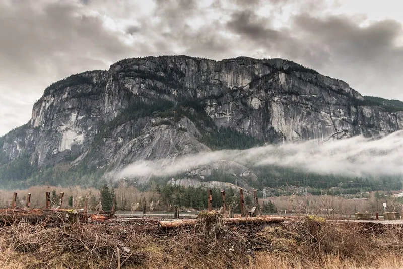
Almost every drive out of Vancouver uses one of four highways, and they fail in completely different ways. Highway 99, the Sea-to-Sky, is the one with no alternative: between Horseshoe Bay and Squamish the road is pinned between the cliff and Howe Sound, so a single stalled truck stops everyone, and rockfall closures run two to five hours. Highway 1 is fine across the valley and fragile in the Fraser Canyon, where wildfire, slides and washouts have closed it for days at a time. Highway 5, the Coquihalla, is the fast way to the Interior and the one that closes for snow — its summit sits at 1,244 m, and it can be winter up there while it rains in Vancouver. Highway 3 is the slow, beautiful backup through Manning Park; it takes longer but it is the road that stays open when the other two do not.
What a summer closure usually means
Between June and September the cause is almost always fire. A wildfire does not have to reach the pavement to close a road — crews shut the highway when the fire is close enough that smoke kills visibility or that aircraft need the airspace above it, and they reopen in escorted convoys before they reopen properly. That is why a closure can last four hours or four days with no way to tell in advance, and why the official line is always "next update at" rather than "reopening at". If your route crosses an active fire, read the live wildfire map before you commit to the drive, and treat the current fire bans as the temperature of the whole province.
If you are already on the road and it closes
Pull off at the last town before the closure rather than queueing at the barricade — Hope, Squamish and Merritt all have fuel, food and cell coverage, and the queue has none of it. Call *5555 from a cell to report a wildfire, and 1-800-550-4997 for DriveBC's recorded highway conditions when you have no data. Fill the tank before the Coquihalla and before the canyon; the gaps between stations are long enough to matter when a detour adds 150 km.
Questions drivers ask most
Is Highway 99 to Whistler open?
The Sea-to-Sky is rarely closed for long, but when it goes it goes completely — there is no parallel road between Horseshoe Bay and Squamish. Rockfall and vehicle incidents close it for two to five hours a few times a year, usually with no detour at all; you wait, or you turn around. The live panel at the top of this page is pulled straight from DriveBC, so if Highway 99 is listed there, believe it.
Highway 1 is closed in the Fraser Canyon — what is the detour?
Highway 5 (the Coquihalla) from Hope to Kamloops, or Highway 3 through Manning Park if you are heading to the Okanagan. Both are real highways, not goat tracks, but the Coquihalla adds roughly an hour versus the canyon and climbs to 1,244 m at the summit — check the forecast, not just the map, between October and April.
Do these closures affect the ferries or the airport?
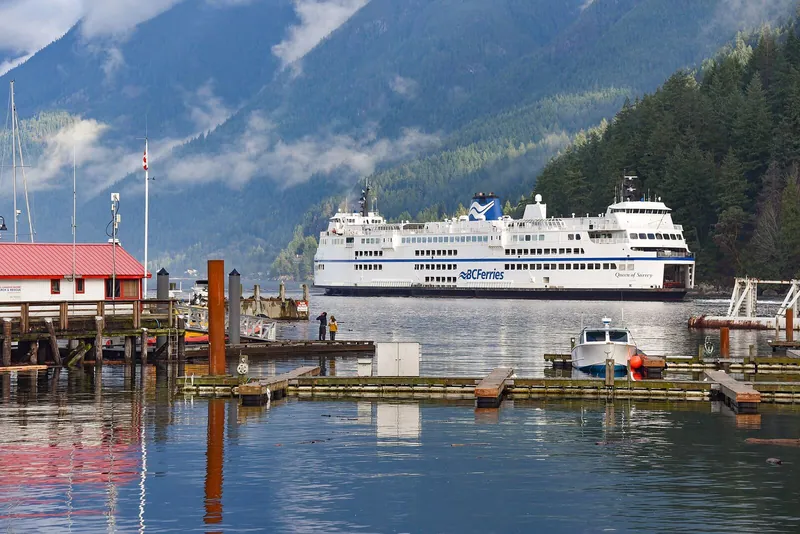
Indirectly. Highway 17 feeds the Tsawwassen terminal and Highway 99 feeds YVR through the Massey Tunnel; a major delay on either turns a comfortable margin into a missed sailing or a missed flight. Give yourself an extra 45 minutes to Tsawwassen on summer Fridays even when the feed is clean.
What roads are closed in Vancouver today?
Both lists on this page answer that, and they come from two different authorities. City of Vancouver street closures — sewer, paving and utility work — come from the city's own Road Ahead open data, at the top of the page, each with the date the street is due to reopen. Highway closures and major delays around Vancouver come from DriveBC below them. One thing neither feed carries far in advance: closures for parades, festivals and filming, which the City and the organisers usually announce two or three days ahead.
Plan around it
Heading north? The Vancouver to Whistler guide has the coach times and fares for the days you would rather not drive. Heading to the Island? Check the ferry fares and sailing plan. Camping out there? Campfire rules and the current ban change with the same weather that closes these roads.
For journalists & editors
Canonical page: fanvancouver.com/vancouver/road-closures/
Machine-readable version of both lists: /api/fv_road_closures.json, rebuilt every 30 minutes.
Highways come from DriveBC Open511; city streets from the City of Vancouver open-data catalogue (current road closures). We republish those layers for travellers and issue no closures of our own — confirm with DriveBC before publishing.
Embed the live status badge free — it auto-updates from the same DriveBC feed every ~10 minutes and links back here:
<iframe src="https://fanvancouver.com/widgets/road-status/" width="100%" height="190" style="border:0;border-radius:12px" loading="lazy" title="Live SW BC highway status"></iframe>