FanVancouver · Local guide
Sea to Sky Highway Cameras Live: Hwy 99 Vancouver to Whistler
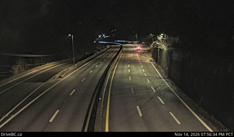
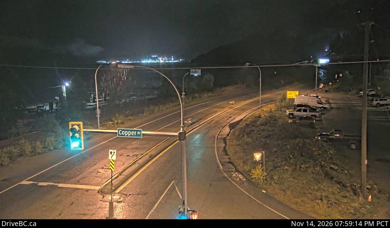
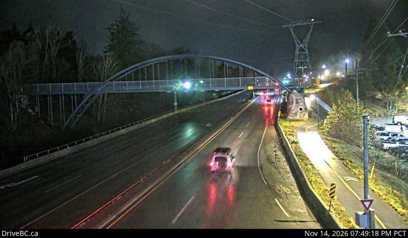
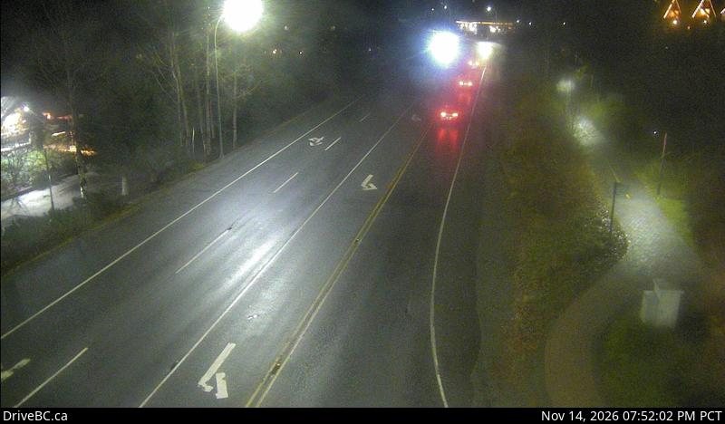
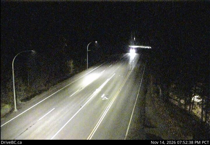
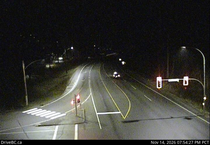
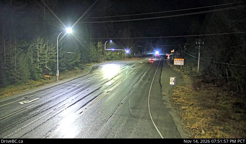
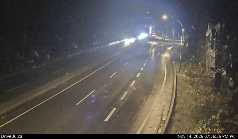
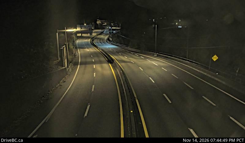
Live DriveBC cameras on the Sea to Sky Highway (Hwy 99) in driving order: Lions Bay, Britannia, Squamish, Alice Lake, Daisy Lake, Function Junction, Whistler.
FanVancouver · Local guide
Live DriveBC cameras on the Sea to Sky Highway (Hwy 99) in driving order: Lions Bay, Britannia, Squamish, Alice Lake, Daisy Lake, Function Junction, Whistler.
Home · Highway cameras · Sea to Sky
Highway 99 climbs from sea level at Horseshoe Bay to Whistler, and the weather changes on the way: rain at Lions Bay can be snow by Daisy Lake. These are the province's own DriveBC cameras in driving order from Vancouver to Whistler, with a second row for the drive home.
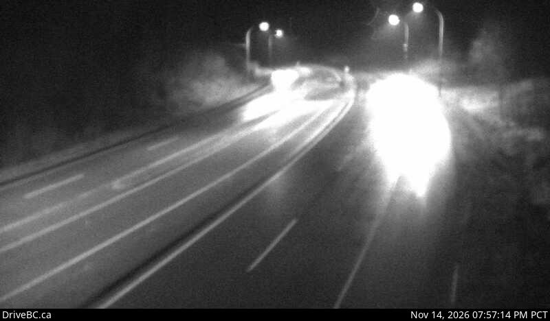
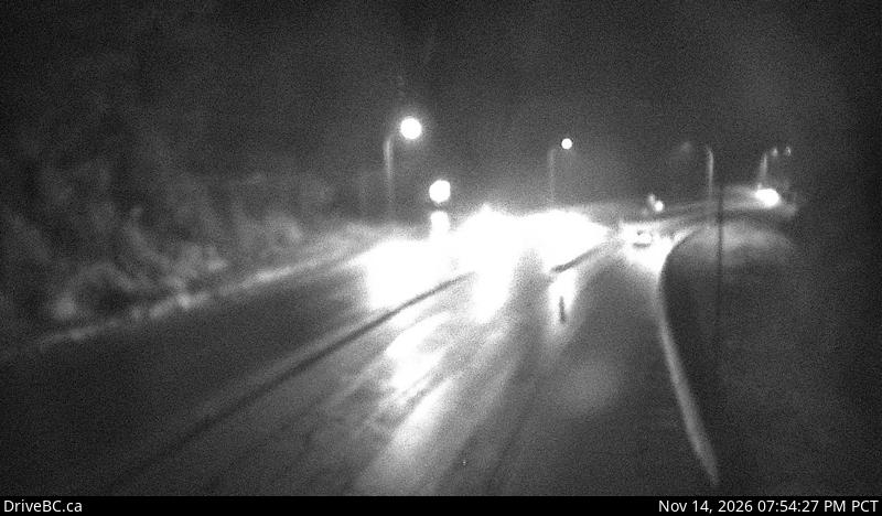
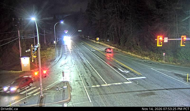
Live stills from DriveBC, the Province of British Columbia's highway cameras (Open Government Licence – British Columbia). The page requests new stills every two minutes while visible. A successful load does not prove a recent capture: check the timestamp in the image. Tap a camera to open it on DriveBC.
All B.C. highway cameras → Closures and delays
On the road around Vancouver