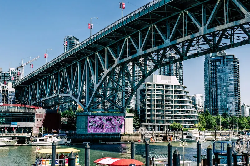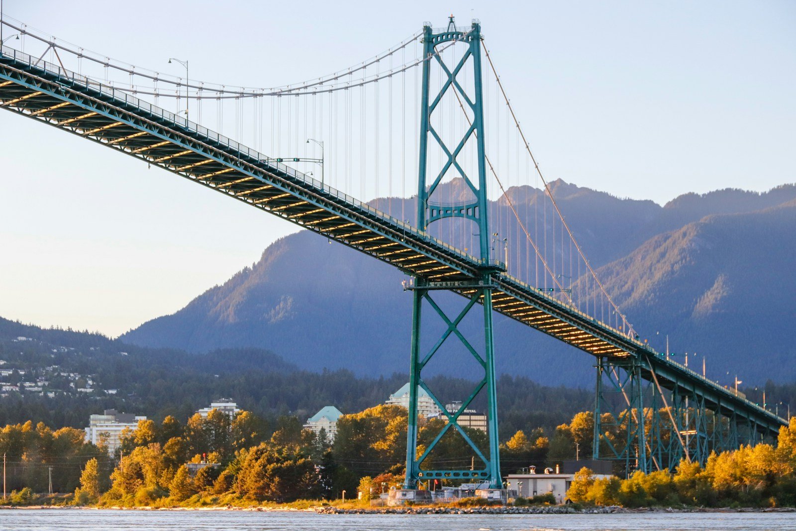
Lions Gate Bridge tower in evening light

FanVancouver · Local guide

Lions Gate Bridge Traffic Right Now: Live Cameras & Closures

See the Lions Gate Bridge now: live DriveBC cameras from Georgia Street and the Stanley Park Causeway to Marine Drive and Taylor Way.

Home · Highway cameras · Lions Gate

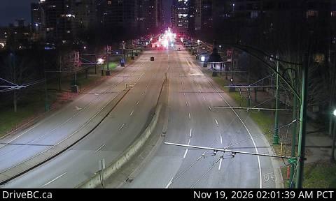
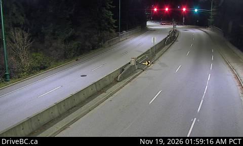
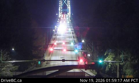
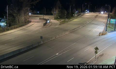
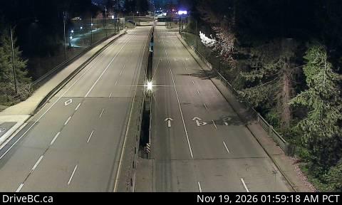
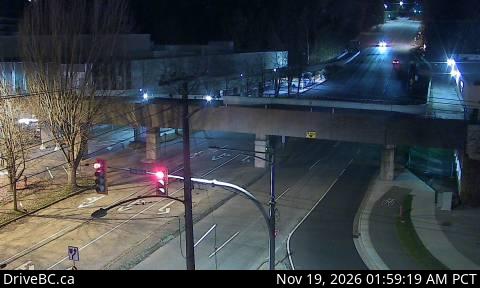
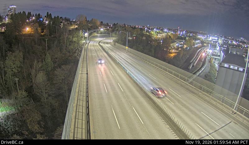
Six DriveBC cameras along the crossing: Georgia Street and the Stanley Park Causeway on the downtown side, the north end of the bridge, then Marine Drive and Taylor Way on the North Shore. Check the queue on your side before you leave.

Live cameras, south to north

DriveBC snapshot: Georgia Street at Chilco, looking southDowntown sideGeorgia Street at ChilcoLooking southDriveBC snapshot · Check image timestampDriveBC snapshot: Stanley Park Causeway at Stanley Park entrance, looking northDowntown sideStanley Park CausewayLooking northDriveBC snapshot · Check image timestampDriveBC snapshot: Lions Gate Bridge north end, looking southOn the bridgeBridge north endLooking southDriveBC snapshot · Check image timestampDriveBC snapshot: Lions Gate Bridge north end, looking northOn the bridgeBridge north endLooking northDriveBC snapshot · Check image timestampDriveBC snapshot: Marine Drive at Taylor Way, looking east toward Lions Gate BridgeNorth Shore sideMarine Drive at Taylor WayLooking east toward Lions Gate BridgeDriveBC snapshot · Check image timestampDriveBC snapshot: Taylor Way at Marine Drive, looking north on Taylor WayNorth Shore sideTaylor Way at Marine DriveLooking north on Taylor WayDriveBC snapshot · Check image timestamp

Live stills from DriveBC, the Province of British Columbia's highway cameras (Open Government Licence – British Columbia). The page requests new stills every two minutes while visible. A successful load does not prove a recent capture: check the timestamp in the image. If DriveBC fails, a backup is shown only when its download was within the last ten minutes; the caption identifies that retrieval time. If no recent backup is available, use the camera link to open DriveBC.

All bridge cameras → Road closures Live roads desk

Newsrooms, community sites, condo and strata pages: embed these live cameras free — one iframe, DriveBC credit and a link back built in, no signup.

How the counterflow lane works

The bridge has three lanes, and the centre one changes direction with the rush hour. Overhead lane signals show which way it is running: a green arrow means the lane is open to you, a red X means it is not. As a rule the city-bound side gets two lanes in the morning peak and the North Shore side gets two lanes in the afternoon, but follow the signals, not the clock and not the car in front.

Reading the cameras

  • Leaving downtown (northbound): the queue builds back along the Causeway through Stanley Park and onto Georgia Street, so look at the first two frames.
  • Heading into the city (southbound): the queue forms on Marine Drive and down Taylor Way, the road in from the Upper Levels Highway; look at the last two.
  • On the bridge itself: there is little room for a stalled car to pull over, so one breakdown can slow both directions. If the north-end frames show stopped traffic, check road closures before you commit.
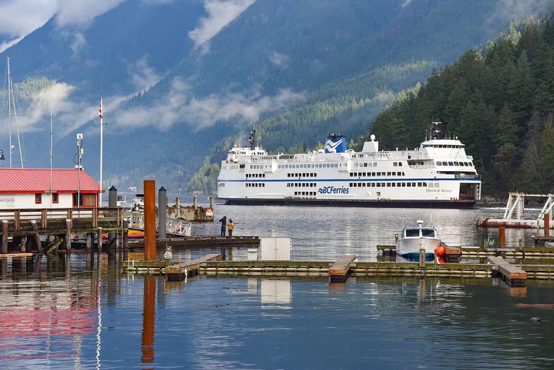
  • Weekend afternoons, traffic coming back from the Sea-to-Sky Highway and Horseshoe Bay often joins at Taylor Way.

If the bridge is jammed

  • Ironworkers Memorial Bridge (Highway 1) — the other road crossing of Burrard Inlet, further east. Its mid-span camera:
DriveBC snapshot: Highway 1 at mid-span on the Ironworkers Memorial Bridge, looking southThe other crossingIronworkers Memorial BridgeLooking southDriveBC snapshot · Check image timestamp

Also useful before you leave

On the road around Vancouver