English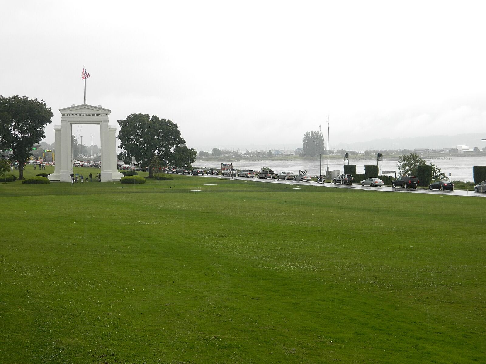
Four crossings serve Vancouver, and the wait at each one is published by a different government: US Customs and Border Protection measures the lanes going south, the Canada Border Services Agency measures the lanes coming north. This page reads both feeds and puts them side by side, so you can see in one look which crossing to drive to — and whether the NEXUS lane is worth the detour today.
Driving into the US right now, the fastest crossing is Pacific Highway at 15 min in the regular car lanes.
Coming back into Canada, it is Peace Arch at 5 min.
- Same day: no personal exemption. CBSA is explicit about this.
- 24 hours+: CAN$200. No alcohol or tobacco. If you go even one dollar over, the exemption vanishes and duty applies to the whole amount.
- 48 hours+: CAN$800, and alcohol / tobacco only inside the published limits.
- A jerry can is not a loophole. Fill the tank, then check the Blaine calculator.
Source: CBSA returning-residents guide. Full local write-up: border crossing guide.
Where to stay in Vancouver
In Vancouver the price depends on the neighbourhood far more than on the star rating. Compare live hotel and rental rates side by side before you lock your dates.
Every crossing, both directions
Peace Arch
also called Douglas · Highway 99 to I-5Cars only, no trucks and no commercial goods. The one most Vancouver drivers mean, and the one that backs up first on a long weekend.
Open 24 hours a day · 7 of 10 car lanes staffed · US lanes measured at 8:00 am pdt · Canadian lanes measured 2026-10-04 08:40 PDT · No trucks or commercial goods
Pacific Highway
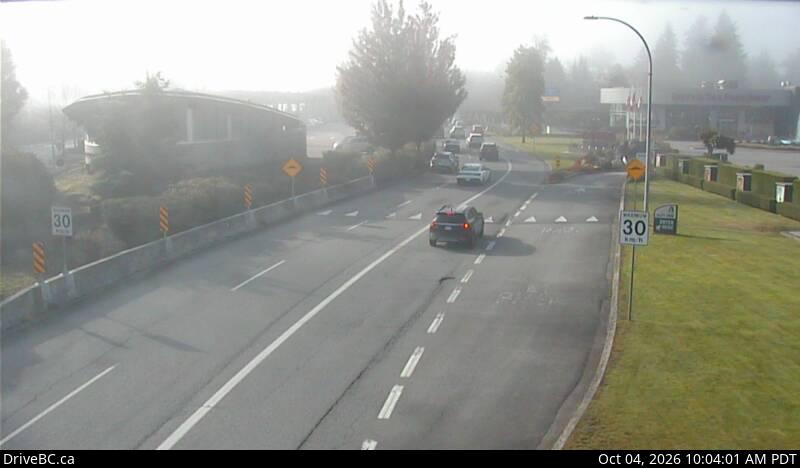
also called Truck Crossing · Highway 15 to I-5Two minutes east of Peace Arch and the only Blaine crossing that takes trucks or anything you are importing. Often the faster car lane when Peace Arch is full.
Open 24 hours a day · 3 of 7 car lanes staffed · US lanes measured at 8:00 am pdt · Canadian lanes measured 2026-10-04 08:40 PDT
Aldergrove
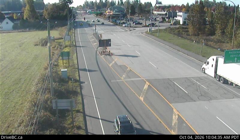
also called Lynden · Highway 13 to SR-539Forty minutes east of the city and usually the quietest of the four. Closes overnight, so check the hours before a late run.
Open 8 am-Midnight · 1 of 4 car lanes staffed · US lanes measured at 8:00 am pdt · Canadian lanes measured 2026-10-04 07:21 PDT
Abbotsford-Huntingdon
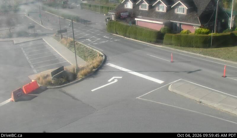
also called Sumas · Highway 11 to SR-9The Abbotsford crossing, and the sensible one if you are heading for Mount Baker rather than Seattle.
Open 24 hours a day · 1 of 5 car lanes staffed · US lanes measured at 7:00 am pdt · Canadian lanes measured 2026-10-04 08:40 PDT
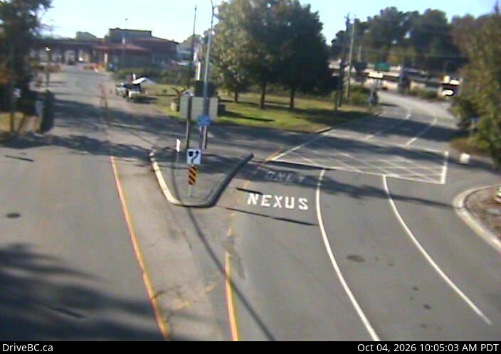
Boundary Bay
also called Point Roberts · 56th Street, TsawwassenOnly useful for Point Roberts itself — the peninsula is a dead end unless you cross back.
Open 24 hours a day · Canadian lanes measured 2026-10-04 07:15 PDT · No trucks or commercial goods
Google Maps →Choosing a crossing
Peace Arch and Pacific Highway sit three minutes apart at the end of Highway 99 and Highway 15, and between them they take almost every Vancouver car heading south. Peace Arch has more car lanes and no trucks; Pacific Highway takes everything, which means it is slower when freight is moving and faster when the tourist traffic has piled into Peace Arch. Check both.
Aldergrove is forty minutes east of the city and is usually the quietest, which only pays off if you are already out that way — the drive there costs more than the queue it saves unless the Blaine crossings are over an hour. Sumas is the one to take for Mount Baker. Boundary Bay leads only to Point Roberts.
Crossing on foot or by bus does not put you in these lanes at all, and neither feed measures the bus queue. Everything else you need before you go — what you may bring, how NEXUS enrolment works, what the duty-free allowance actually is — is in our Vancouver border crossing guide.
Questions people actually ask
Which Vancouver border crossing is fastest right now?
The card at the top of this page names it, in both directions, from the live lane figures. As a rule the Pacific Highway truck crossing clears cars faster than Peace Arch on a busy afternoon, because Peace Arch is the default choice and fills first — but on a quiet weekday morning Peace Arch has more car lanes open and wins. That is exactly why the numbers are worth checking rather than guessing.
How far ahead do these wait times update?
US Customs measures its lanes roughly once an hour and stamps each reading with the time it was taken; CBSA publishes a fresh reading every twenty minutes to an hour depending on the crossing. Both timestamps are printed on each card here, so you can see how old a figure is instead of trusting a number with no age on it. This page re-reads both feeds every thirty minutes.
Is Peace Arch or the Truck Crossing better for a day trip to Seattle?
Peace Arch, unless you are carrying goods to declare or driving anything larger than a passenger vehicle — trucks are not allowed through Peace Arch at all. The two crossings are three minutes apart on the Canadian side, so the practical answer is to check both numbers here before you commit to an exit.
Do the Aldergrove and Boundary Bay crossings close at night?
Aldergrove and Boundary Bay run limited hours while Peace Arch, Pacific Highway and Sumas are open around the clock. The hours each crossing reports are printed on its card above and come from the CBP feed itself, so a change in hours shows up here without anyone editing this page.
Does NEXUS actually save time?
The saving is shown per crossing above whenever the NEXUS lane reports separately and is at least ten minutes faster than the regular lanes. On a quiet morning the two lanes are often identical and NEXUS saves nothing; on a Sunday evening in summer the gap is the whole reason the card exists.
When is the border worst?
Southbound peaks on Friday afternoons and Saturday mornings, northbound on Sunday evenings and the last day of a long weekend, in both cases between roughly 2pm and 8pm. Statutory holidays on either side of the line stack on top of that. None of that is a substitute for the live figure above — it is only the reason a two-hour wait rarely arrives as a surprise.
For journalists & editors
Canonical page: fanvancouver.com/vancouver/border-wait-times/
Machine-readable version of every figure on this page: /api/fv_border_wait.json, rebuilt every thirty minutes, with the source timestamp preserved per crossing.
Southbound figures come from US Customs and Border Protection; northbound from the Canada Border Services Agency. We republish both layers for travellers and measure nothing ourselves — cite CBP and CBSA, and confirm with them before publishing a number.