English
 Español
 Français
 Deutsch
 Українська
Evacuation ORDER
Saw Creek Wildfire
5 properties under order; about 12 people affected.
Lytton First Nation · 151 km from Vancouver · updated 2026-08-31
FanVancouver · Local guide
Live BC fire map (bcfiremap): 65 active wildfires across BC, with evacuations, smoke and road context. Official data, updated every 30 minutes.
🔥 Live · BC Wildfire Service open data
Every active fire in the province on one map — then the safety steps that actually matter for Vancouver visitors and BC road trips.
As of October 15, 2026 (UTC), BC Wildfire Service open data shows 64 active wildfires in British Columbia — 0 out of control, 14 being held — burning roughly 405,299 hectares, out of 1450 fires recorded this season. The largest active fire, Pear Lake, covers about 165,909 hectares. Server data refreshes about every 30 minutes.
Source: BC Wildfire Service (DataBC). Marker size scales with reported hectares. Click a marker for status, size, cause and official incident link when available. Map © OpenStreetMap. This page is an independent FanVancouver tool — not the government dashboard.
bcfiremap is what people type for a live BC fire map. This page is that map for visitors: every active wildfire from BC Wildfire Service open data, plus smoke, AQHI and road context. The government dashboard is still the legal source for perimeters; we republish the same open layer so you can plan a trip without hunting three official sites.
You are on it: fanvancouver.com/vancouver/bc-wildfires/ — a live map of active British Columbia wildfires from BC Wildfire Service open data (DataBC). Server refresh about every 30 minutes; the map re-checks while open. Current open-data snapshot: 65 active fires, 0 out of control.
Scroll to the live map on this page, or open the machine-readable feed at /api/fv_fires.json. Always verify evacuations with EmergencyInfoBC and official BC Wildfire status — we republish open data for travellers and do not issue orders.
We plot the same public current-fires layer used by provincial dashboards, plus visitor context (smoke, roads, safety). For government-only portals start at BC Wildfire status.
For journalists & editors — live BC fire numbers
Canonical page: fanvancouver.com/vancouver/bc-wildfires/
Machine-readable feed (same open-data layer as the map): /api/fv_fires.json — refreshed about every 30 minutes from the BC Wildfire Service / DataBC current-fires layer. Always re-check BC Wildfire status and EmergencyInfoBC before publishing.
Related on FanVancouver: province fire map · smoke & air quality · fire bans · wildfire hub · situation notes
Also: North America maps · USA live map · Canada hub
Fire season moves faster than any booking policy. If your dates fall inside an active season, the practical protection is not insurance — it is a room you can cancel for free the day before: refundable rates on Expedia.ca →Affiliate link — we may earn a commission at no extra cost to you.
Smoke sits differently in different neighbourhoods — the West End and Kitsilano catch the ocean breeze first. Compare live hotel and rental rates on the map, and take a room with air conditioning.
FanVancouver is an independent visitor guide. Legal evacuation status and road bans come only from the agencies above. Fire counts on this page come from the BC Wildfire Service (DataBC open data) and refresh about every 30 minutes — the live figure is the one in the summary above.
Across British Columbia, 3 wildfires currently have evacuation orders attached to them and 4 have orders or alerts of some kind. Adding up the official polygons: about 5 properties are under an order — meaning leave now — and a further 9 are on alert, meaning be ready to leave within minutes. Roughly 12 people are inside the ordered areas.
Numbers come straight from the province's Emergency Order and Alert Areas layer, the same dataset the official dashboard draws from, and refresh here about every half hour. An order is not advice — you leave. An alert means bags packed, vehicle fuelled, pets and documents by the door. What to do, in order is further down this page.
Ordered by properties under evacuation order. Full list and the exact boundary of every order: EmergencyInfoBC · BC Wildfire Service dashboard. If your address is inside an order, the regional district — not this page — is the authority.
These eight fires alone cover about 378,864 hectares — roughly 33× the land area of the City of Vancouver. Distance is straight-line from downtown Vancouver, so a fire 150 km away can still be a five-hour detour by road.
| Fire | Size | Status | Cause | From Vancouver |
|---|---|---|---|---|
| Pear LakeE of Pear Lake | 165,909 ha | Under Control | Lightning | 211 km |
| Ainslie Creek | 69,705 ha | Being Held | Human-caused | 141 km |
| French Bar Creek | 61,050 ha | Under Control | Lightning | 228 km |
| Bonanza Creek | 34,992 ha | Under Control | Lightning | 196 km |
| Bald Range | 25,163 ha | Under Control | Under investigation | 237 km |
| Brunswick Creek | 9,543 ha | Being Held | Human-caused | 138 km |
| Border 2Hozomeen Mountain | 6,277 ha | Being Held | Lightning | 156 km |
| Lessard Lake5.3km NE of Lessard Lake | 6,224 ha | Being Held | Lightning | 410 km |
Sizes are the BC Wildfire Service's own estimates and are re-measured from the air, so a number that doubles overnight usually means the fire was mapped properly, not that it doubled. “Being held” means it is not expected to grow past existing control lines under current conditions — not that it is out. Tap a fire name for the official incident page.
Bulletins and photographs republished from the BC Wildfire Service and BC Gov News under the Open Government Licence – British Columbia. © Province of British Columbia.
Headlines link straight to the publisher. FanVancouver is an independent visitor guide, not an emergency broadcaster — in a life-safety situation follow BC Emergency Alerts on your phone and your regional district, not a website.
This page is the visitor-facing BC fire map: live counts, evacuation orders, the eight largest fires, smoke/AQHI and highway context, refreshed about every 30 minutes from the same open data the province uses. The official incident dashboard (pins, perimeters, fire of note pages) is wildfiresituation.nrs.gov.bc.ca/map. Use that if you need the exact polygon for an address; use this page if you need the visitor version — can I drive to Kelowna, is Vancouver smoky, is a campfire legal.
One short note when the map or the weekend calendar actually moves. No daily blast. Unsubscribe anytime.
Vancouver right now
Ridge hikes, Grouse and the Chief are fine today — air is not the limiting factor.
Worst air in BC
Anything at 7 or above means people with asthma, heart conditions, young children and seniors should cut outdoor time — not just athletes.
Vancouver is reading 1 — low risk — and the provincial high is 2 at Prince George. Smoke is widespread today rather than pinned to one valley. Environment Canada's forecast has Vancouver rising to about 2 within 24 hours.
Scale: 1–3 low · 4–6 moderate · 7–10 high · 10+ very high. Readings are the hourly AQHI observation published by Environment and Climate Change Canada for each reporting community; anything above 10 is reported as 10+. Values refresh here about every half hour. Full provincial table: Environment Canada AQHI · smoke plume forecast: FireSmoke Canada. Indoor and rainy-day alternatives: Vancouver bad-weather playbook.
Full Okanagan camping closure guide (Westside / Fintry / Bear Creek) →
📰 BC wildfire news digest + shareable story →
Pulled from the live feed when the province flags them.
Urban Vancouver almost never faces direct flame. Smoky days mean haze, orange sunsets, and harder breathing on hills — not an automatic cancel. Pivot with Today and Tonight.
Views die first. If AQHI is high, skip long exposed ridges. Ferry + west-coast plans still need bans + smoke checks — start from the BC Cities hub.
Treat DriveBC as mandatory. A fire “far from Vancouver” can still close the only highway to your cabin. Have a Plan B overnight in a larger town.
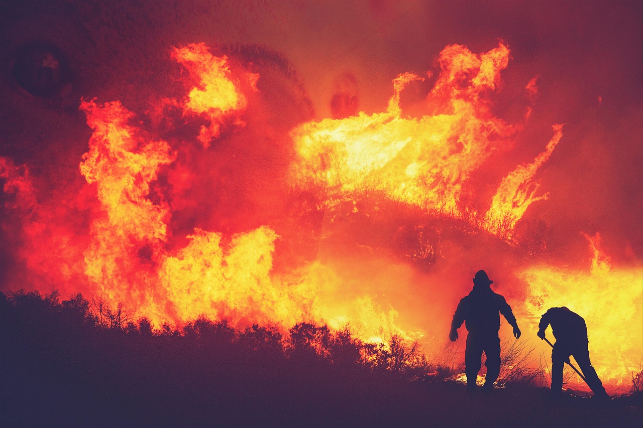
Direct fire risk to the city is very low; the story here is smoke drift and occasional bluff or interface fires near Squamish and Lions Bay. The Sea-to-Sky highway rarely closes for fire, but check DriveBC on high-wind smoky days before committing to Whistler or Squamish.
The wet west coast burns least. Even in bad Interior years, Tofino and Ucluelet often stay clear — island trips are the classic smoke escape. Mid-island lakes country can still see local fires; ferry routes themselves are essentially never smoke-cancelled.
This is where BC's headline fires usually burn — and as of early August 2026 the Westside Road / Bear Creek–Fintry approach from Kelowna plus the Kamloops–Vernon corridor have been among the highest-impact visitor disruptions — Kelowna, Vernon, Kamloops corridors. July–August wine-country plans need a same-week check of the map above plus evacuation alerts. Highways 1, 5 and 97 are the ones that close.
Remote fires here can burn for months and pump smoke provincewide without threatening any tourist town. Watch firesmoke.ca for where the plume goes — that matters more to your trip than the fire's dot on the map.
BC uses the Air Quality Health Index. One number, checked each morning, tells you how hard to push outdoors:
| AQHI | Level | What it means for your day |
|---|---|---|
| 1–3 | Low | Everything's on — Grouse Grind, ridge hikes, long rides. |
| 4–6 | Moderate | Fine for most people; sensitive groups shorten hard efforts. Views start to haze. |
| 7–10 | High | Swap summit days for city days. Short walks fine; skip sustained cardio outside. |
| 10+ | Very high | Indoor day. Museums, food halls, aquarium — see the Plan B below. |
Check the live number on Environment Canada's BC AQHI page — mornings are usually clearer than late afternoon on smoke days.
Smoke events in Metro Vancouver usually last one to three days until the wind shifts. You don't need to cancel — you need a pivot list:
Full newsroom kit (live counts, iframe, AQHI badge, JSON): fanvancouver.com/embed/.
Newsrooms and travel blogs may embed the live map free of charge — it self-updates every 30 minutes from BC Wildfire Service open data. Copy-paste:
<iframe src="https://fanvancouver.com/widgets/fire-map/" width="100%" height="480" style="border:0;border-radius:12px" loading="lazy" title="Live BC wildfire map"></iframe>
Attribution is built into the widget. Questions or custom sizes: contact us.
Smaller footprint? The live AQHI badge (Vancouver air quality now + worst-in-BC), same free terms:
<iframe src="https://fanvancouver.com/widgets/aqhi/" width="360" height="190" style="border:0;border-radius:12px" loading="lazy" title="Vancouver air quality AQHI live"></iframe>
This page is a visitor-facing layer over provincial open data: active wildfire points, status language, and practical links for smoke, roads, and campfire rules. It is not a substitute for Alert Ready, EmergencyInfoBC, or local authority evacuation orders. If you are under an evacuation alert or order, follow official instructions only.
Out of Control means the fire is expected to continue growing beyond current boundaries under present conditions — not that Vancouver is burning. Being Held means growth is not expected under current conditions. Under Control means containment lines are expected to hold. “Fire of Note” flags public-interest fires (size, proximity to communities, smoke, or values at risk).
Most active fires burn far from downtown Vancouver. What occasionally reaches the city is smoke, which can still cancel ridge hikes, degrade sunset views, and bother lungs. For day trips (Whistler, Sea-to-Sky, Fraser Valley, Okanagan), check both this map and road/air tools — a clear morning in Kitsilano does not guarantee clear air at elevation inland.
Data snapshot used for on-page counts: active=65, season_total=1450, updated=2026-10-15T19:30. Counts on the stat chips update from /api/fv_fires.json in the browser.
Almost never. Most active fires burn in the Interior, north, and remote forests. What usually reaches Metro Vancouver is smoke on some summer/early-autumn days when winds align.
The same BC Wildfire Service / DataBC open current-fires layer used by the provincial dashboard. Our server refreshes about every 30 minutes; this page re-checks while open about every 10 minutes.
A suppression status: the fire is expected to continue growing beyond current boundaries. It is not an automatic order to leave Vancouver. “Being Held” = growth not expected; “Under Control” = containment lines are holding.
Usually no — but always check DriveBC for closures, firesmoke.ca / AQHI for air, and official evacuation alerts if you are driving near active fire zones. Smoke can make mountain views worthless even when roads are open.
Check AQHI first. Cut long ridge hikes. Prefer indoor museums, markets, and short seawall walks. Sensitive groups (kids, elders, asthma): reduce outdoor exertion; a well-fitted respirator helps some people outdoors.
Check the live map at the top of this page — it shows every active fire from BC Wildfire Service data, refreshed about every 30 minutes. Most seasons, fires stay well outside Metro Vancouver; smoke, not flame, is what occasionally reaches the city.
Officially April through October. For visitors the window that matters is mid-July to early September, when fire activity and smoke events peak. September trips usually dodge the worst of it; October onward is a non-issue.
Very rarely. YVR operates normally through typical smoke events; visibility-related delays are uncommon and brief. Small floatplane and regional flights (harbour-to-harbour, Tofino) are more sensitive — check with the operator on heavy-smoke days.
Call 1-800-663-5555 or *5555 from a mobile in B.C. — free, 24/7. For life-threatening emergencies dial 911.
The provincial authority is BC Wildfire Service. This FanVancouver page plots the same open current-fires layer for visitors, with safety context. Always prefer official dashboards and Alert Ready during emergencies. Active count on our last server refresh: 65 (0 out of control). Numbers update about every 30 minutes from BC Wildfire open data.
Our live feed currently shows 65 active fires (updated 2026-10-15T19:30). The number changes through the day — use the map chips at the top of this page for the freshest client-side refresh.
For smoke plumes and forecasts use firesmoke.ca and Environment Canada AQHI. Our wildfire map shows fire locations; smoke tools show air quality impact for hikers and city visitors.
Flexible indoor plans, N95/KN95 if you are sensitive, eye drops, extra water, and offline maps in case of cellular congestion near incidents. Build buffer days into road trips that cross the Interior in July–September.
Independent FanVancouver guide · Updated 2026-10-15 · Stock hero imagery for atmosphere; live positions come only from BC Wildfire Service open data · Sources · Campfires · Fire bans
FanVancouver picks
Hotels, tours and transfers in one place — we may earn a commission, you pay the same.
Some links are affiliate links — we may earn a commission at no extra cost to you. Confirm live prices on the partner site.
FanVancouver is written and run by one person — Alex, in Vancouver, British Columbia. I moved here from Ukraine, stayed, and have been writing this site since 2024. There is no newsroom behind it and no tourist board paying for the copy.
This page is not typed by hand: it rebuilds from official sources — BC Wildfire Service, Environment and Climate Change Canada, DriveBC and TransLink — and every figure carries its observation time. When a source goes quiet, the page says that too, instead of showing a stale number as if it were current.
On 10 August 2026, Newsweek published a North America fire map from NASA/FIRMS and official counts. This page rebuilds the same public BC Wildfire Service figures. Newsweek did not name FanVancouver.
How the site is researched is set out on the about page. Something wrong, out of date or missing? Write to [email protected] — corrections get made.
More on BC wildfires