 English
 Español
 Français
 Deutsch
Vancouver sits closer to the United States than to the rest of Canada — Seattle is nearer than Whistler feels on a Friday. This series covers the 12 US cities Vancouverites (and visitors extending a Vancouver trip) actually go to: how to get there, what it costs in USD, and the itineraries that survive contact with reality.
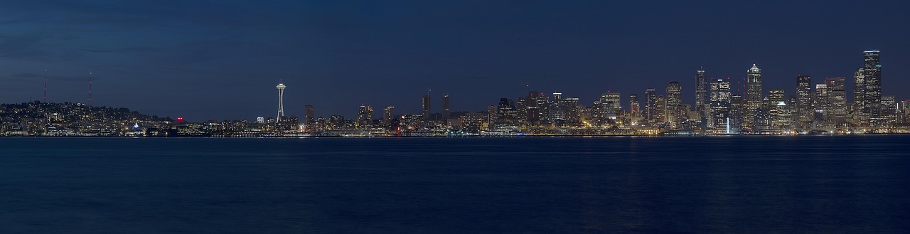 230 km south
Seattle
230 km south
Seattle
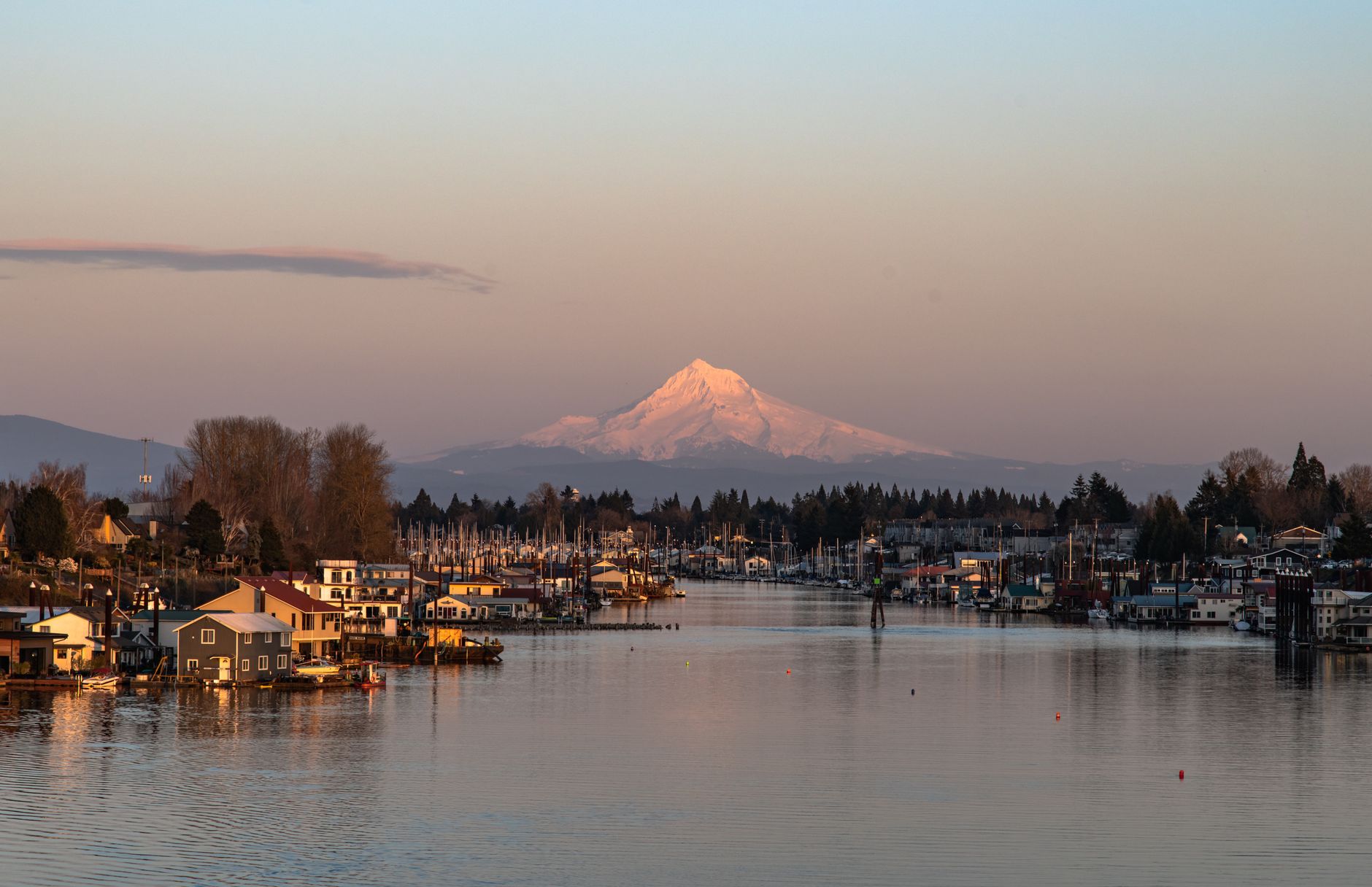 500 km south
Portland
500 km south
Portland
 2h15 flight
San Francisco
2h15 flight
San Francisco
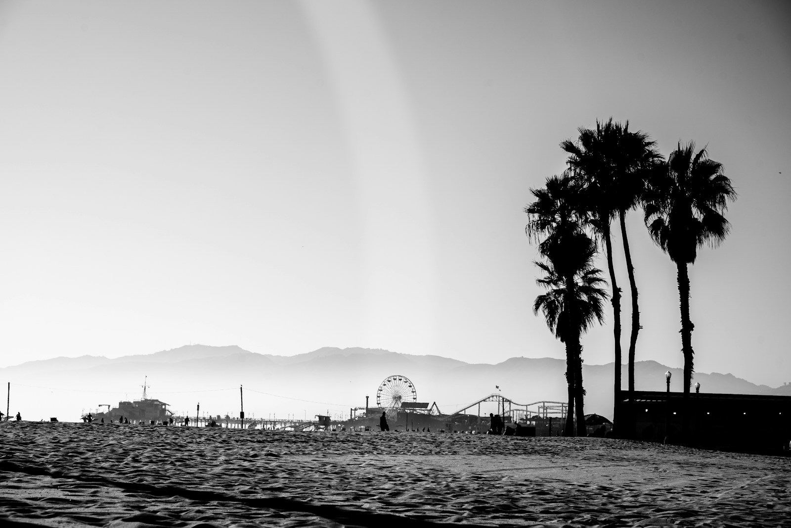 3h flight
Los Angeles
3h flight
Los Angeles
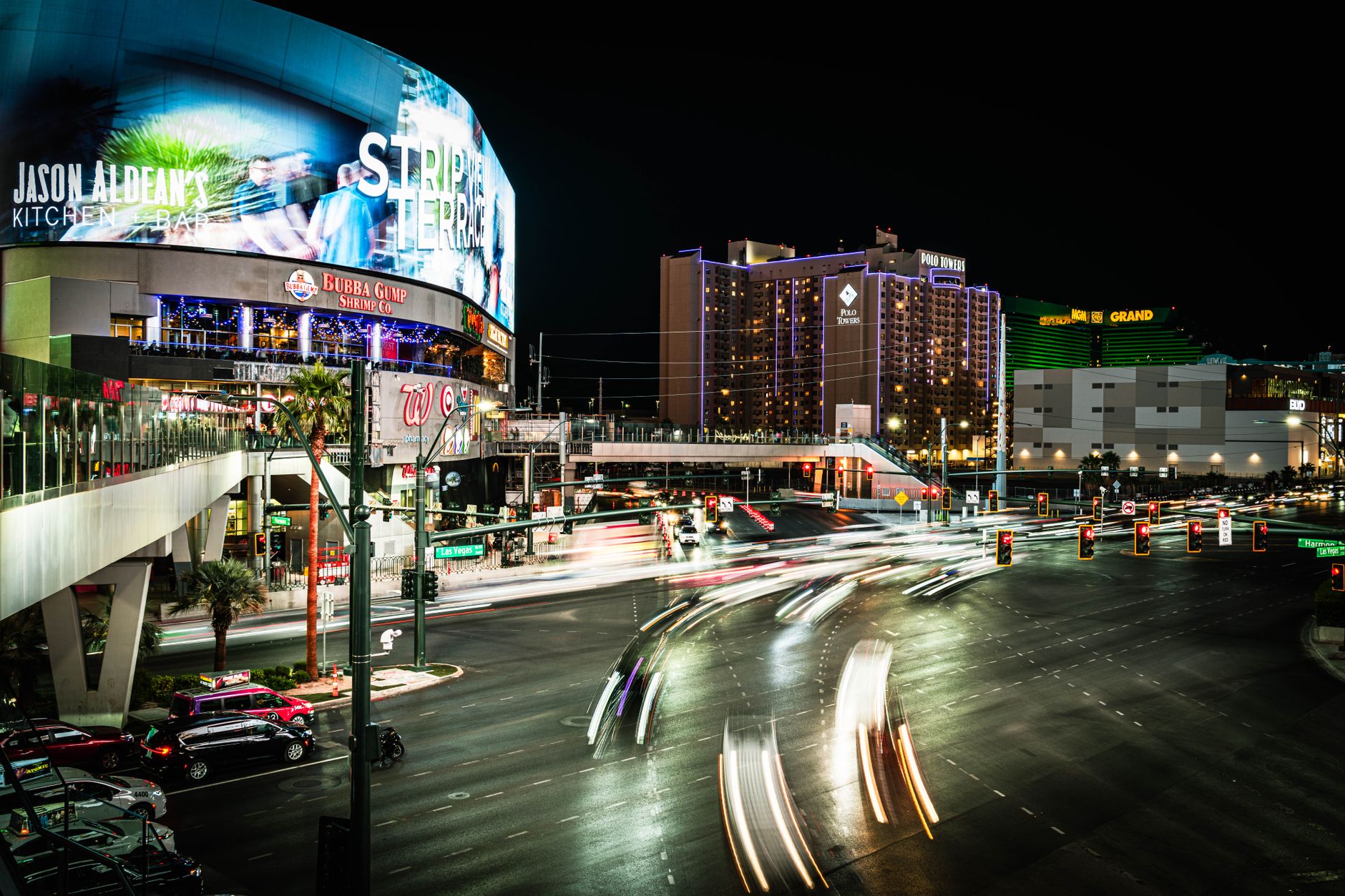 2.5h flight
Las Vegas
2.5h flight
Las Vegas
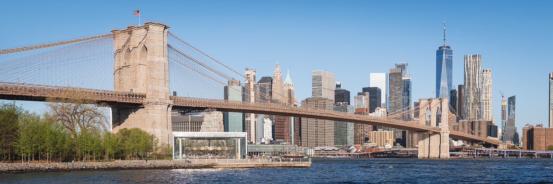 5.5h flight
New York
5.5h flight
New York
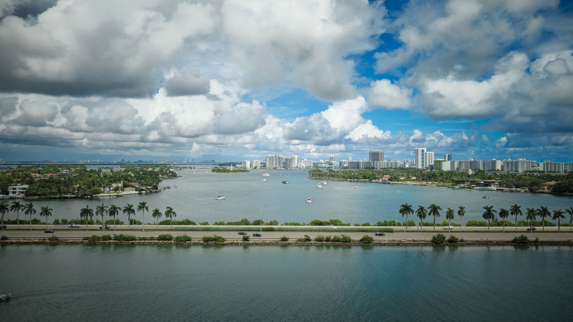 winter-sun flagship
Miami
winter-sun flagship
Miami
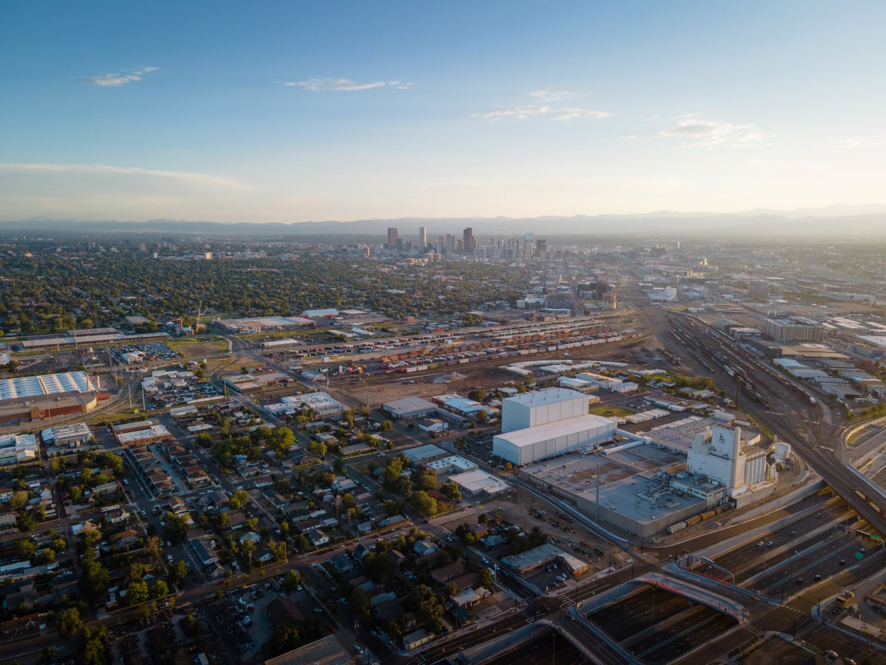 ~1,900 km
Denver
~1,900 km
Denver
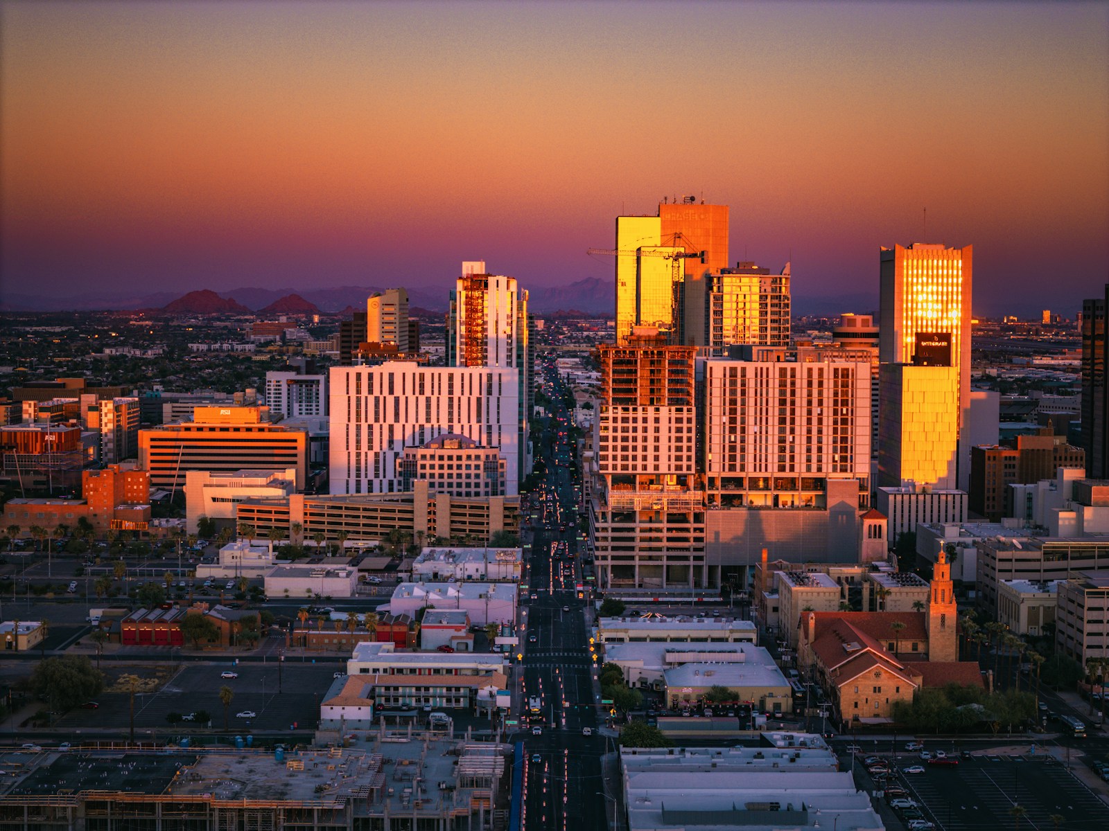 ~2,000 km
Phoenix
~2,000 km
Phoenix
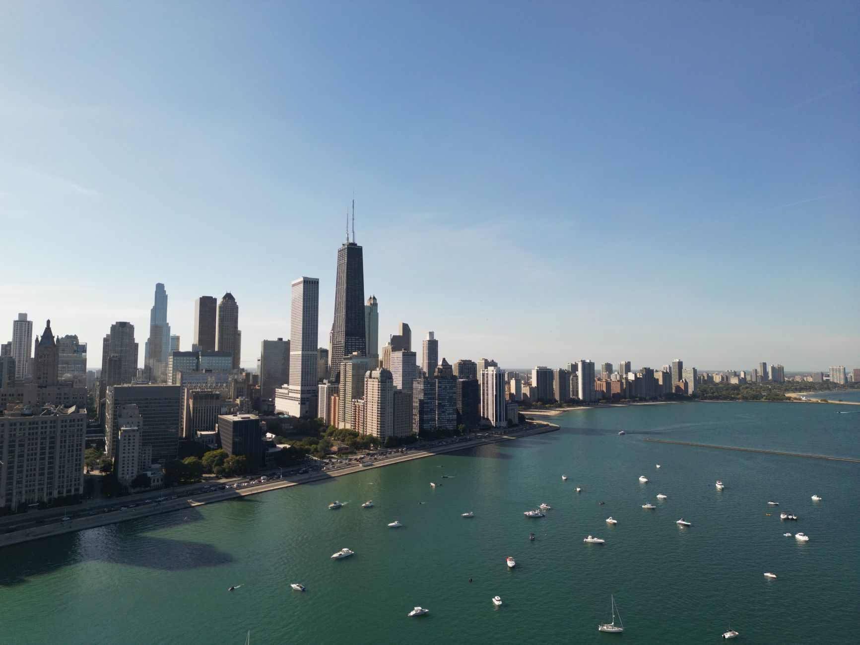 ~3,000 km
Chicago
~3,000 km
Chicago
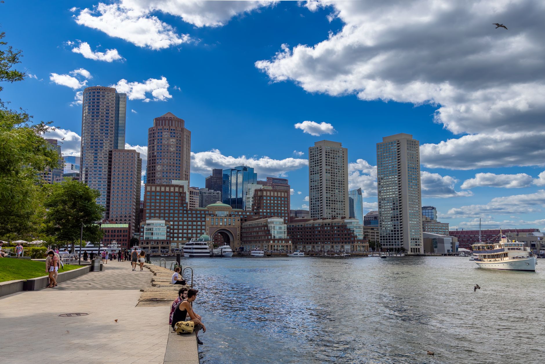 ~4,000 km
Boston
~4,000 km
Boston
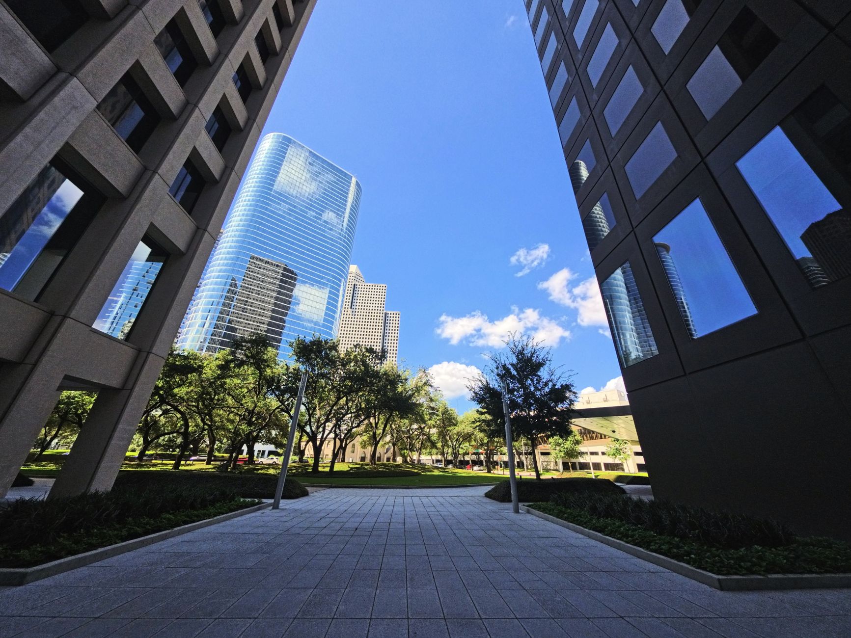 ~3,500 km
Houston
~3,500 km
Houston
Before any US trip from Vancouver
Three pages worth reading first: the border crossing guide (wait times, NEXUS, what to declare coming home), the YVR guide (US preclearance means you land stateside as a domestic passenger), and ferries & boats to the USA for the slow scenic routes south.
Before you compare fares: 31 US airports have a non-stop from Vancouver, and ten of them run only part of the year — Boston, Atlanta, Charlotte, Nashville, Austin, Detroit, Raleigh/Durham, Washington–Dulles, Anchorage and Kailua-Kona. The rest are year-round.
✈️ What flights out of YVR actually cost
Live fares on the routes Vancouverites fly most. Vegas and Seattle stay cheap year-round; New York and Miami are worth a red-eye.
🚗 Renting a car for a US road trip
Driving beats flying between some of these cities — LA to Vegas, Portland to Seattle. Compare cross-border rental rates before you land.
Independent FanVancouver series · Last reviewed 2026-08-10 · BC cities hub · Vancouver guides
Crossing the border without losing half a day
Four land crossings serve Metro Vancouver, and choosing the right one matters more than leaving early. Peace Arch on Highway 99 is the scenic one and the one everybody uses, which makes it the slowest on Sunday afternoons, holiday Mondays and any long-weekend return. Pacific Highway, a couple of kilometres east, is the truck crossing but takes cars and often moves faster. Aldergrove and the Sumas crossing near Abbotsford are quieter still and worth the extra driving time when the coastal crossings are backed up.
Both governments publish live wait times, and they are accurate enough to plan around — check before you pick a crossing rather than after you have committed to a lane. A NEXUS card pays for itself quickly for anyone crossing more than twice a year, but the lane only helps when everyone in the car is enrolled.
What you can bring back
Canadian personal exemptions are based on how long you were away, and they catch people out on shopping trips:
- Under 24 hours — no exemption at all. Everything you bought is technically declarable.
- 24 hours or more — CAD$200, and it does not cover alcohol or tobacco.
- 48 hours or more — CAD$800, with a limited alcohol and tobacco allowance.
Declare what you bought. Officers see the receipts in your bag either way, and the penalty for an undeclared purchase costs more than the duty would have. Check the current figures on the CBSA site before a big shopping run — they are set by regulation and do change.
The train, and when it beats driving
Amtrak Cascades runs from Pacific Central Station to Seattle in about four hours, with US border formalities handled at the Vancouver station before you board rather than at a highway booth. It is slower than a clear-road drive and dramatically faster than a bad one, it drops you in downtown Seattle without a parking problem, and it is the right choice for a weekend where you are not leaving the city you are visiting.
Coming to Vancouver from the States? Use the inbound briefing: Vancouver from the USA · all origins: /from/
Smoke, not flame, is the trip constraint
From Vancouver the US weekend that actually breaks is a smoke day on I-5 or a closed Sierra highway, not a fire on the map of downtown Seattle. Check the live USA wildfire map and the filtered Washington / Oregon / California pages the morning you drive or fly. AirNow is the US air-quality index — it will not match the Canadian AQHI on your phone. The city guides below assume the corridor is open; the fire maps tell you whether that assumption still holds.