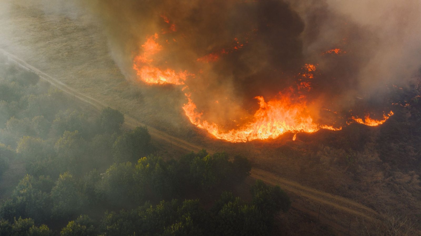
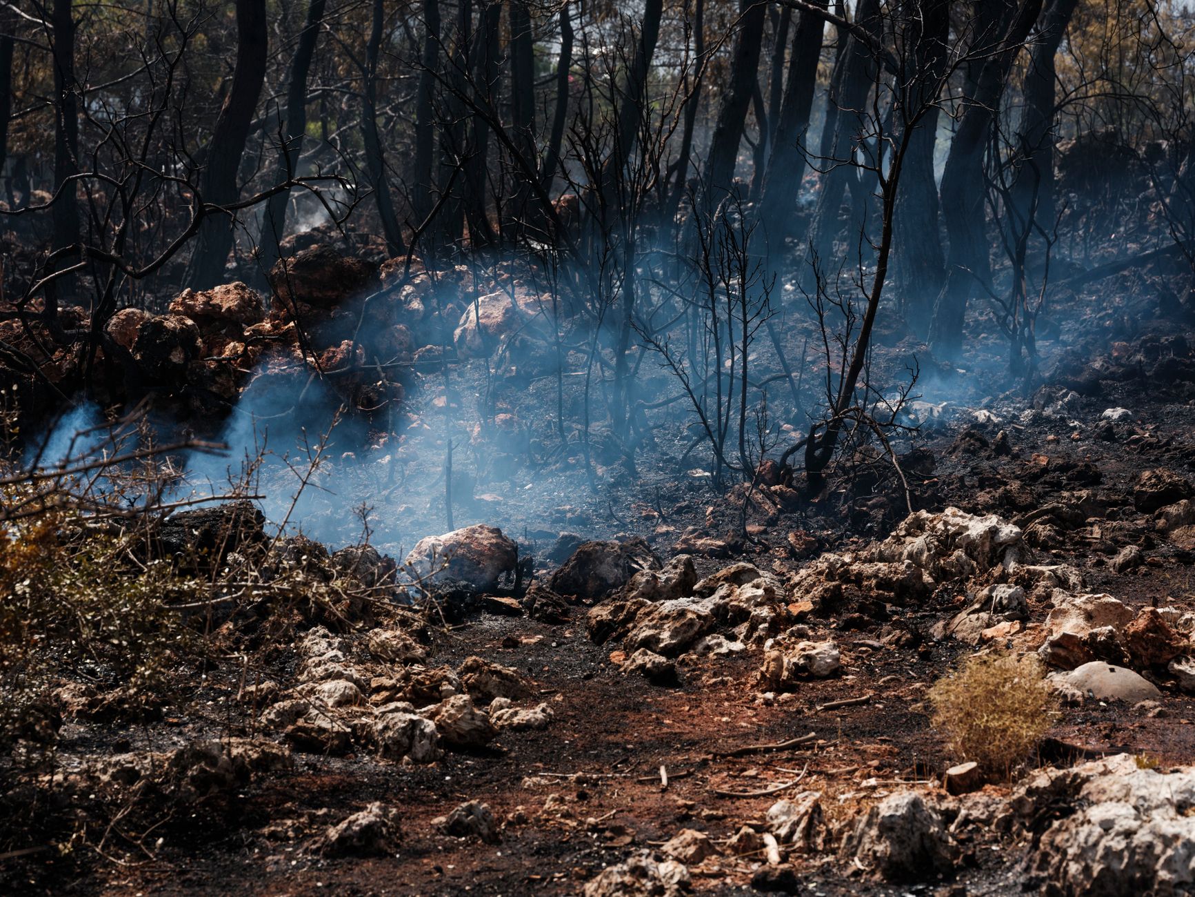
Oregon sits on the classic Vancouver → Seattle → Portland triangle. Fire season hits the Cascades, eastern dry forests, and sometimes the Columbia River Gorge — exactly the day-trip geography people book hotels for.
This page filters the national WFIGS feed to Oregon only. It is not an evacuation portal; it is a live orientation map for trip planning and editorial citation.
Live Oregon fire map
Markers filtered client-side from /api/fv_us_fires.json where state = OR. Large red markers generally mean larger reported acres. Always verify with official sources below.
Road-trip reality from Vancouver
Most visitors stack Seattle then Portland on I-5. Multnomah Falls and the Gorge are the outdoor prize — and the first things to check when smoke or closures appear. Tax-free shopping still works; trail days do not when air quality tanks.
Where to verify before you go
State and federal pages win over social screenshots: Oregon Department of Forestry / wildfire dashboards, InciWeb for large incidents, AirNow for smoke, ODOT for highways. Pair with our USA map if you continue into California.
Official sources
Cite this page
https://fanvancouver.com/usa/wildfires/oregon/
Embed: <iframe src="https://fanvancouver.com/widgets/us-fire-map/?state=OR" width="100%" height="420" loading="lazy" title="Oregon wildfire map"></iframe>
National USA map: https://fanvancouver.com/usa/wildfires/ · BC deep: https://fanvancouver.com/vancouver/bc-wildfires/
Related
Where Oregon burns, and when
Oregon's fire season concentrates east and south of the Cascades — the high desert around Bend, the Ochocos, the Fremont-Winema and the Rogue Valley — and runs roughly July through September, occasionally into a dry October. The wet western valley from Portland to Eugene is a different climate entirely, but 2020 proved it is not immune: east winds pushed fire down the Cascade canyons into the Santiam and McKenzie corridors.
Which agency to check for what
The Oregon Department of Forestry publishes state incidents and the current fire restrictions, which are set by district rather than statewide. InciWeb carries the federal fires on national forest land. TripCheck is the state's road service and the fastest way to find out whether a Cascade pass or a stretch of Highway 97, 20 or 138 is closed. Oregon DEQ publishes the air quality index for Portland, Bend, Medford and the smaller valley towns.
What this means for a trip from Vancouver
Oregon is the second leg of the classic drive south, and the mistake is assuming the coast route and the inland route carry the same risk. US-101 down the coast is almost always clear of fire closures; I-5 through the Rogue Valley and anything crossing the Cascades is where the summer detours happen. Crater Lake and the Bend trail network are the two destinations most likely to be smoked out in August. Our Portland guide covers the city end of the trip.