Live visitor hub · 2026-08-10
One entry point for travellers watching Interior smoke, highway detours, and campfire rules. Live open-data count: 75 active fires (42 out of control) · season 899.
Live map, current counts, evacuation orders and what to do about your trip BC fire map — the short version: what is burning, where, right now Wildfire smoke in Vancouver — AQHI, masks, what to cancel Fire bans & Category 1–3 rules — campfire legality by fire centre Campfires near Vancouver — legal sites, fines, bans Official news digest — EmergencyInfoBC and BC government releases, newest first
Official sources
FanVancouver is independent. Always confirm legal status with the agencies above before driving into fire country or lighting a campfire.
Does a wildfire season actually change your trip?
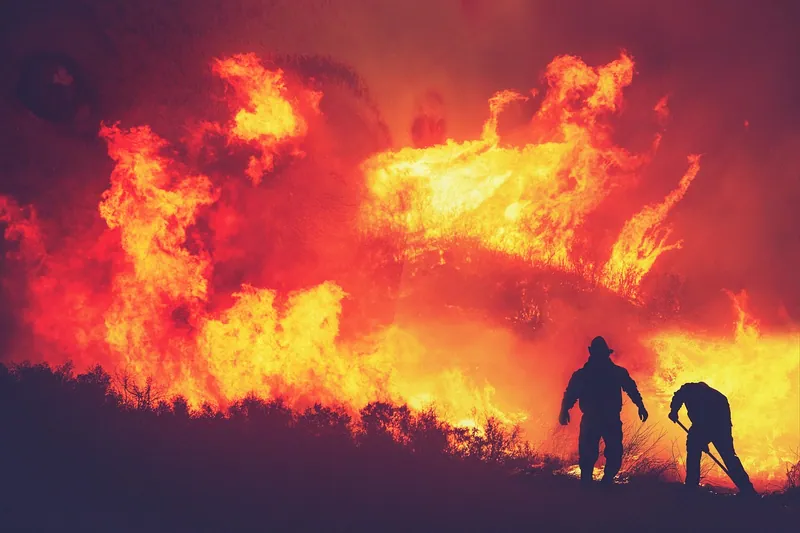
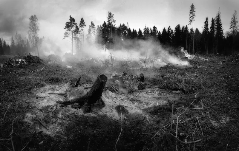
For most visitors staying in Vancouver, Victoria or Whistler: no. Fires in British Columbia burn overwhelmingly in the Interior — the Cariboo, the Thompson-Okanagan, the Kootenays — hundreds of kilometres from the coast. The coast's problem is not flame, it is smoke, and smoke is a weather story: it arrives when the wind turns, and it leaves the same way, sometimes within a day.
What genuinely gets cancelled in a bad season is the Interior road trip: Highway 97 and Highway 1 detours, provincial campgrounds closed, backcountry trails shut, and campfire bans that make a planned camping trip pointless. If your itinerary is city-plus-Whistler, plan normally and check the smoke forecast the morning of any hike.
Reading the air quality number
Canada uses the AQHI, a 1-to-10+ scale rather than the US AQI, so numbers from American apps will not match. Roughly: 1–3 is low risk and means carry on; 4–6 is moderate, and people with asthma or heart conditions should ease off hard exercise; 7–10 is high, and that is the band where a long hike or a stadium afternoon stops being a good idea for anyone; above 10 is very high risk and the day belongs to museums, the aquarium and indoor food halls. Environment Canada publishes the current reading and a forecast for Metro Vancouver, and FireSmoke.ca shows where the plume is expected to travel next.
Campfires are the rule most visitors break
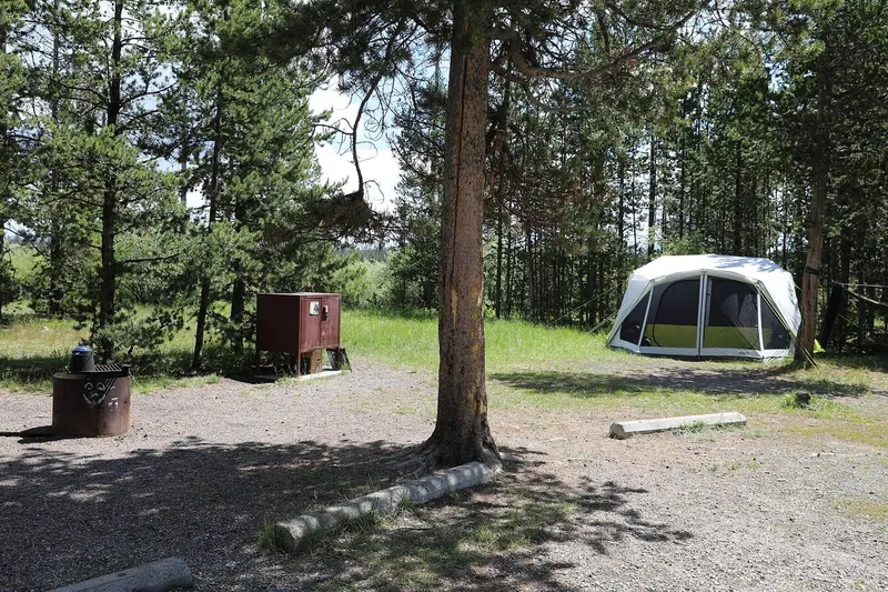
Fire bans in BC are issued per fire centre, not province-wide, and they come in categories: Category 1 covers small campfires, Category 2 and 3 cover larger open burning. A ban can be in force in the Kamloops Fire Centre while the Coastal Fire Centre is open, which is exactly how travellers get fined — they check "BC" instead of the fire centre they are actually camping in. Fines are substantial and enforcement during a bad season is real. Check the fire centre covering your campground on the day, not the week before.
If you are driving into fire country anyway
Three habits make the difference. Check DriveBC before you leave and again at your halfway stop, because highway closures in fire season change hour to hour. Keep the tank above half — a detour around a closed corridor in the Interior can add two hundred kilometres with no services. And do not stop to photograph an active fire from the shoulder: aircraft operate low over highways, and the province closes airspace and roads to keep them working.