Live · Official sources tracked · Updated 2026-08-03

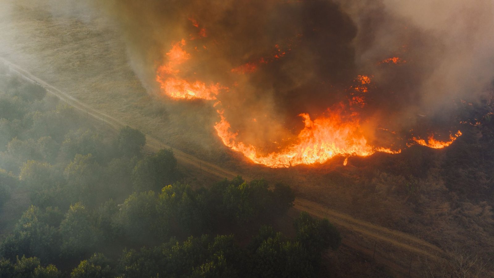
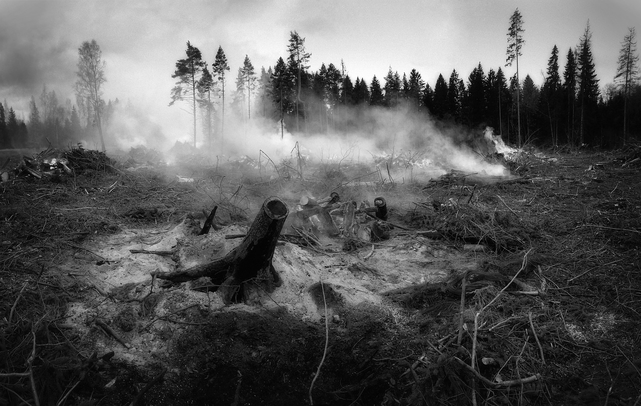
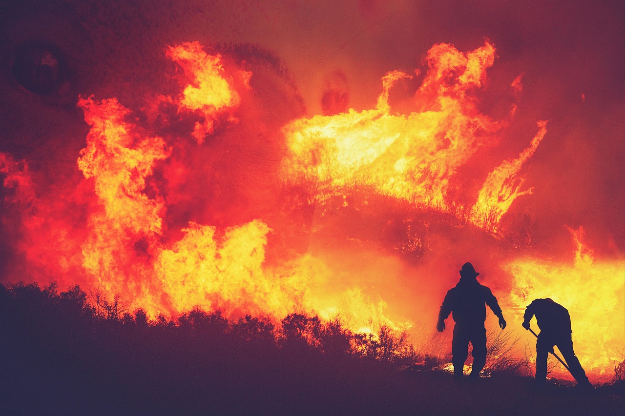
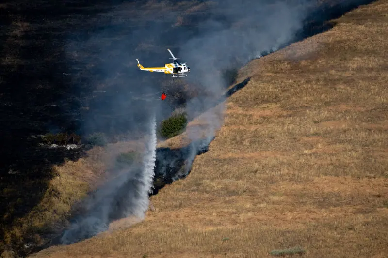
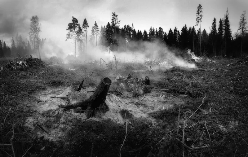
Wildfire smoke over British Columbia forest landscape

BC is writing a hard chapter. The map is how we stay kind to each other.

Somewhere in British Columbia tonight, a family is packing a car they hoped they would never need. Somewhere else, a camper is refreshing a map instead of roasting marshmallows. Right now the province is tracking about 129 active wildfires (52 out of control, 6 fire of note) out of 857 this season — open data updated 2026-08-03T00:20+00:00. Near the Okanagan, open data flags Bradley Creek FSR at ~2603.7 ha (Fire of Note). We built a live map so visitors and locals can see the same public layer firefighters and travellers use, then make safer plans: smoke days, closed corridors, and when to cancel Westside Road dreams near Kelowna. This is not fear content. It is respect — for crews on the line, for communities under alert, and for anyone who still wants to love BC summers without driving into harm.

129Active fires
52Out of control
6Fire of note
857Season total
Open live wildfire map Okanagan camping alert DriveBC EmergencyInfoBC

Official news we pull for you

Parsed from public RSS / government pages. Always open the original link for the legal wording. FanVancouver is not an emergency broadcaster.

Water Usage Restriction Order EXTENDED: Village of McBride. Severe Drought. Nov. 27, 2023.

EmergencyInfoBC · Tue, 28 Nov 2023 03:00:22 +0000

The Village of McBride has extended the State of Local Emergency (PDF) to December 4, 2023 due to severe drought. The Water Usage Restriction Order (PDF) issued on September 19, 2023 remains in effect. The following water uses are not permitted: Washing of vehicles, building exteriors, driveways and sidewalks (unless ordered by a regulatory authority) […] The post Water Usage Restriction Ord

BC Emergency Alert System Test: November 15, 2023

EmergencyInfoBC · Wed, 15 Nov 2023 23:00:41 +0000

BC Emergency Alerts are broadcast on TV, radio, and cell phones to provide urgent, life-saving information during emergencies. A TEST of the BC Emergency Alert system occurred on Wednesday, November 15, 2023, at 1:55 p.m. (PST). BC Emergency Alert TEST Message This is a TEST of the BC Emergency Alert system. This is ONLY a […] The post BC Emergency Alert System Test: November 15, 2023 first

BC Emergency Alert System Test: November 15, 2023

EmergencyInfoBC · Wed, 15 Nov 2023 23:00:35 +0000

BC Emergency Alerts are broadcast on TV, radio, and cell phones to provide urgent, life-saving information during emergencies. A TEST of the BC Emergency Alert system occurred on Wednesday, November 15, 2023, at 1:55 p.m. (PST). BC Emergency Alert TEST Message This is a TEST of the BC Emergency Alert system. This is ONLY a […] The post BC Emergency Alert System Test: November 15, 2023 first

EXPIRED: Evacuation Order: Lower Similkameen Indian Band. Rockslide. Nov 6, 2023.

EmergencyInfoBC · Fri, 10 Nov 2023 17:05:08 +0000

On November 6th, the Lower Similkameen Indian Band issued an Evacuation Order (PDF) due to imminent danger from a rockslide. The risk of danger has now passed. This Evacuation Order expired on November 10, 2023. Recommended Actions Follow directions from your Local Authority or First Nation. Resources Know the signs of landslide and be prepared. Visit […] The post EXPIRED: Evacuation Order:

Current Wildfire Information: Nov. 6, 2023.

EmergencyInfoBC · Tue, 07 Nov 2023 01:00:38 +0000

For the most up-to-date information on wildfire Evacuation Orders and Alerts, visit your Local Authority or First Nation website or see the list below. For more information on wildfire response in BC, visit BCWildfire.ca. Wildfire recovery services and supports are available for people and communities impacted by wildfires in BC. On this page: Evacuation Orders […] The post Current Wildfire

Current Wildfire Information: Oct. 24, 2023.

EmergencyInfoBC · Tue, 24 Oct 2023 16:00:38 +0000

For the most up-to-date information on wildfire Evacuation Orders and Alerts, visit your Local Authority or First Nation website or see the list below. For more information on wildfire response in BC, visit BCWildfire.ca. Wildfire recovery services and supports are available for people and communities impacted by wildfires in BC. On this page: Evacuation Orders […] The post Current Wildfire

Severe Drought: Water Usage Restriction Order. Village of McBride. Oct. 23, 2023.

EmergencyInfoBC · Mon, 23 Oct 2023 23:00:22 +0000

The Village of McBride has extended the State of Local Emergency (PDF) to October 30, 2023 due to severe drought. The Water Usage Restriction Order (PDF) issued on September 19, 2023 remains in effect. The following water uses are not permitted: Washing of vehicles, building exteriors, driveways and sidewalks (unless ordered by a regulatory authority) […] The post Severe Drought: Water Usage

ENDED Flood Watches: West Vancouver Island and Englishman River. October 19, 2023.

EmergencyInfoBC · Thu, 19 Oct 2023 21:00:49 +0000

The River Forecast Centre has ENDED the Flood Watches for: West Vancouver Island Englishman River The River Forecast Centre continues to monitor conditions and provide updates. Recommended Actions Follow all directions from your Local Authority or First Nation Stay clear of fast-flowing rivers and potentially unstable riverbanks Avoid recreational activities such as fishing, swimming, boating or [

BC Emergency Alert: Evacuation Order in Peace River Regional District. Sept. 15, 2023.

EmergencyInfoBC · Sat, 16 Sep 2023 04:45:54 +0000

An Evacuation Order has been issued by the Peace River Regional District due to the Stoddart Creek wildfire. The Evacuation Order includes the following area: Following the southern boundary of Blueberry River First Nations reserve lands and the Blueberry River east to the bridge on the Prespatou Road South along Prespatou Road to a point 3.2 […] The post BC Emergency Alert: Evacuation Order

Provincial State of Emergency Expired: Sept. 14, 2023.

EmergencyInfoBC · Fri, 15 Sep 2023 15:00:03 +0000

The Provincial State of Emergency issued by the Province of BC on August 18, 2023, expired at the end of day Thursday, September 14, 2023 (Pacific time). Links & Resources For current wildfire evacuation information, visit EmergencyInfoBC.ca. For wildfire locations and response information, visit BCWildfire.ca. Guidance for wildfire evacuees Travel and highway wildfire impacts from […] T

Evacuation Alert due to Rockslide: Regional District of Okanagan-Similkameen. Electoral Area “F”. Aug. 30, 2023.

EmergencyInfoBC · Fri, 01 Sep 2023 16:30:09 +0000

On August 30th, 2023, the Regional District of Okanagan-Similkameen issued an Evacuation Alert for four properties in Electoral Area “F” along North Beach Road, due to a rockslide. The Evacuation Alert has been issued as a precautionary measure while the province conducts geotechnical assessments. Anyone in the affected area must be ready to leave on […] The post Evacuation Alert due to Rock

ENDED: Heat Warning issued for Fort Nelson. August 30, 2023

EmergencyInfoBC · Wed, 30 Aug 2023 23:00:50 +0000

Heat Warning ENDED by Environment and Climate Change Canada: Fort Nelson On this page: Recommended actions Cooling centre locations Heat safety Resources About heat alerts Recommended actions If you are in the area under a Heat Warning: Know the symptoms of heat-related illness and seek medical care if you or someone you are caring for are […] The post ENDED: Heat Warning issued for Fort Nel

Share this with someone on the road

If you know a camper headed for the Interior, send them the map before they buy ice. That is love in fire season.

Data: BC Wildfire Service open data · News sources: EmergencyInfoBC, BC Gov · Photos: site stock library (atmosphere; positions only from official data) · API: /api/fv_fire_news.json · /api/fv_fires.json