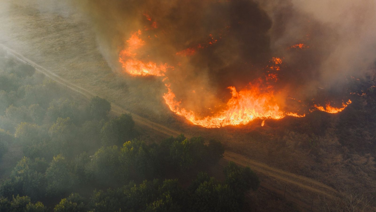
As of October 4, 2026 (UTC), NIFC WFIGS open data lists 456 current US wildland fire incidents — densest right now: CA (91), OR (72), MT (53), WA (30), AZ (24). Server refresh about every 45 minutes. Always verify with NIFC and InciWeb before travel decisions.
For journalists & editors
Canonical continental hub: fanvancouver.com/wildfires/
British Columbia, updated every 30 minutes: /vancouver/bc-wildfires/
USA deep map + JSON: /usa/wildfires/ · /api/fv_us_fires.json
BC JSON: /api/fv_fires.json
Always re-check NIFC, InciWeb, BC Wildfire status, and EmergencyInfoBC before publishing.
Which map do you need?
United States — live incident map
Current wildland fire incidents from the public NIFC WFIGS layer. Marker size scales with reported acres. Click a point for name, state, county, and containment when reported.
US deep guide with travel notes and official links: /usa/wildfires/
British Columbia — live province map
BC remains our highest-resolution product: active fires, out-of-control counts, smoke, and visitor safety. The full page is intentionally separate so search and citations stay clean.
The full British Columbia guide — live map, smoke, evacuation orders and highway context — is at fanvancouver.com/vancouver/bc-wildfires/.
Why these maps are on separate pages
A fire in Oregon and a fire outside Kamloops are answered by different agencies, different data feeds and different road services, so they get different pages. This one is the continental view: how many incidents are burning across the US and Canada right now, and which door to open next. The British Columbia page refreshes every thirty minutes from the province's own open data, which is why it lives on its own URL rather than being squeezed in here.
Related travel
When each side of the border burns
North America has two overlapping fire calendars. The Canadian season opens first in the boreal forest — Alberta, Saskatchewan and northern BC can be burning hard by May — and British Columbia's own peak lands in late July and August. The US West runs later and longer: the Pacific Northwest peaks in August, California carries destructive fire into October and, on a wind day, well beyond it. The Southwest has its own spring season before the monsoon arrives.
That matters for anyone planning a summer road trip across both countries. A mid-August itinerary that runs Vancouver to Seattle to Bend to Northern California crosses three fire regimes at once, and the constraint is almost never flame on the highway — it is smoke deciding whether the viewpoint you drove for is visible, and whether the trail is open.
The numbers on this page, and what they do not mean
The US counter comes from NIFC's WFIGS open data and the BC counter from the province's own feed, both refreshed automatically. A high incident count is not the same as a bad day for travellers: most listed fires are small, remote and already contained, and a single wind-driven fire near a highway will disrupt a trip far more than two hundred quiet ones in the backcountry. Read the count as a season signal, then check the road and air services before you decide anything.