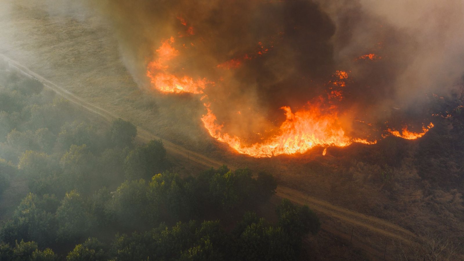
Canada does not have a single “one map rules all” story the way a provincial dashboard does. Fire response is provincial. This page gives you the national picture; the detailed live map for British Columbia stays at /vancouver/bc-wildfires/.
British Columbia — the full map
The full British Columbia guide — live map, smoke, evacuation orders and highway context — is at fanvancouver.com/vancouver/bc-wildfires/.
Rest of Canada — go straight to the agencies
For Alberta, Ontario, Quebec, the Territories and the Atlantic provinces, use the provincial / CIFFC doors first. We only build a live map for a province when its agency publishes open data good enough to keep it honest, which today means British Columbia.
- CIFFC — Canadian Interagency Forest Fire Centre
- Alberta wildfire status
- Ontario forest fires
- Quebec forest fires
- BC Wildfire Service (official)
- EmergencyInfoBC
Where the full BC guide lives
This page does not republish the full BC visitor guide. The counters above are a live summary. The full map, the smoke playbook, evacuation context and the open JSON feed for BC are at
https://fanvancouver.com/vancouver/bc-wildfires/ and /api/fv_fires.json.
Network
Why there is no single national fire map
Fire response in Canada is a provincial and territorial responsibility. Each agency runs its own detection, its own crews and its own public dashboard, and they publish on different schedules in different formats — which is why a genuine "one map for Canada" does not exist, and why anything claiming to be one is usually a stale scrape. What does exist is the Canadian Interagency Forest Fire Centre, which coordinates crews and aircraft between provinces and publishes the national situation report and the preparedness level. When you read that Quebec crews are working in British Columbia, CIFFC is the mechanism.
The season, region by region
The boreal opens first. Alberta and Saskatchewan can be fighting significant fire by early May, and the Northwest Territories season runs through a short, intense summer. Ontario and Quebec peak from June into August, and their smoke is the reason air quality warnings appear as far away as the US east coast in a bad year. British Columbia's own peak comes later — late July through August — and runs in the Interior rather than the coast. Atlantic Canada burns least, but Nova Scotia's 2023 season showed that "least" is not "never".
Smoke travels much further than fire
Almost nobody's holiday is threatened by flame; a great many are affected by smoke. Plumes routinely cross two or three provinces, and a Prairie fire can put a haze over Ontario within days. If you are travelling anywhere in Canada in summer, the practical checks are the provincial fire agency for closures, the provincial road service for highway detours, and Environment Canada's AQHI for the air where you actually are — not where the fire is.