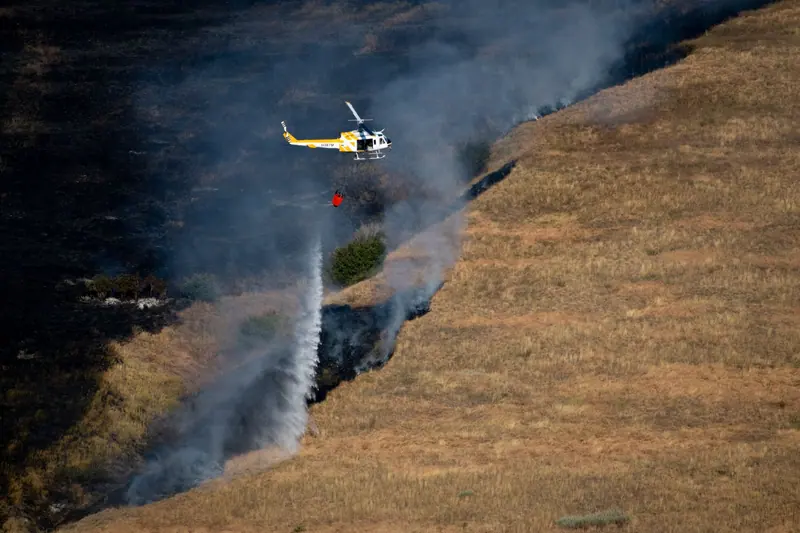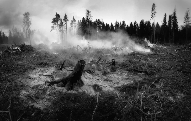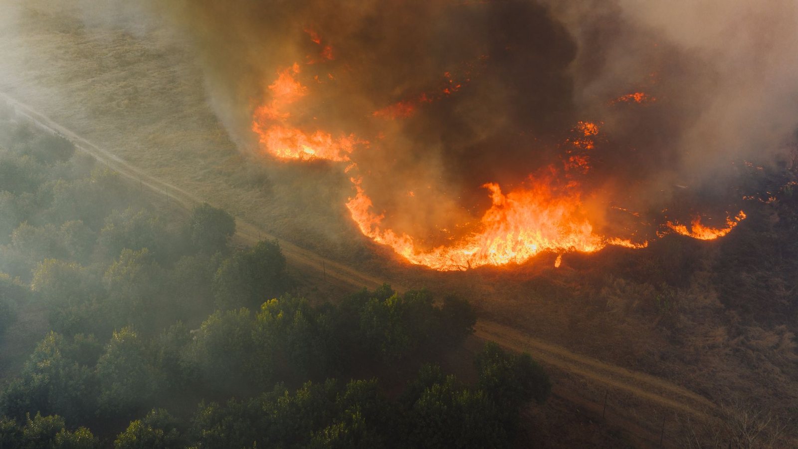
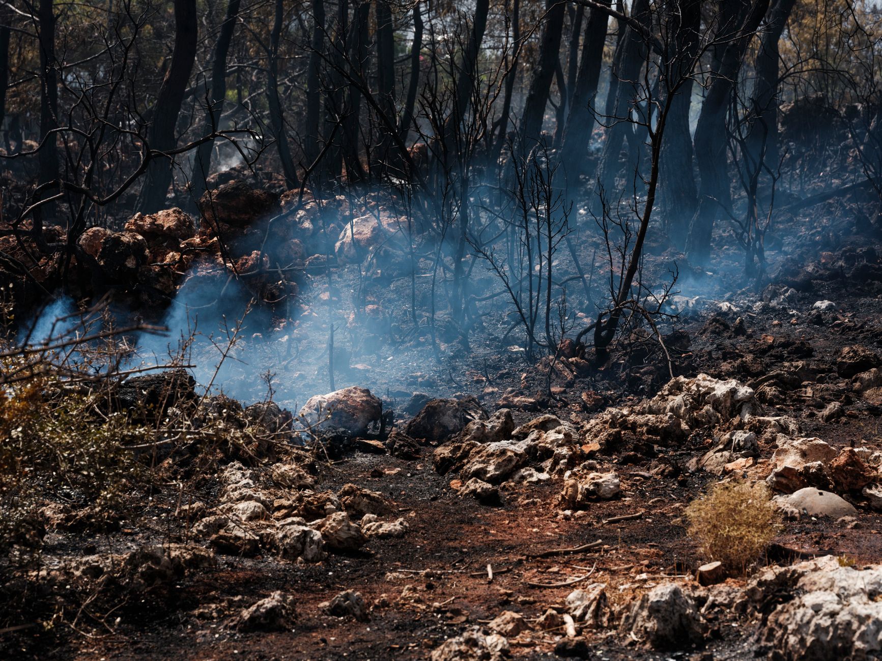
Washington is the first US firescape most Metro Vancouver travellers hit: I-5 south, Amtrak Cascades, and weekend trips to Seattle. A fire in the Cascades or eastern WA can put smoke over Puget Sound even when the metro itself is quiet.
Use this state map for orientation, then verify closures and evacuations on official channels before you drive or camp. For the national picture open the USA wildfire map; for BC’s side of the border use the BC deep map.
Live Washington fire map
Markers filtered client-side from /api/fv_us_fires.json where state = WA. Large red markers generally mean larger reported acres. Always verify with official sources below.
Travel corridors that matter
I-5 / Peace Arch: main road south — check WSDOT and border waits, not only fire dots. Amtrak Cascades: downtown-to-downtown Seattle without a car. North Cascades / US-20: seasonal mountain access; fires and smoke change the outdoor plan first.
City planning: Seattle from Vancouver · border guide.
Smoke and air quality
Even without a local evacuation, smoke from eastern Washington or Oregon can degrade outdoor days in Seattle and Bellingham. Cross-check AirNow and, for the Canadian side, the BC AQHI pages linked from our smoke guide.
Official sources
Cite this page
https://fanvancouver.com/usa/wildfires/washington/
Embed: <iframe src="https://fanvancouver.com/widgets/us-fire-map/?state=WA" width="100%" height="420" loading="lazy" title="Washington wildfire map"></iframe>
National USA map: https://fanvancouver.com/usa/wildfires/ · BC deep: https://fanvancouver.com/vancouver/bc-wildfires/
Related
Where Washington burns
Almost everything happens east of the Cascade crest. The Methow Valley, Chelan, Wenatchee, the Okanogan highlands and the Columbia Basin are the fire country; Seattle and the Puget Sound lowlands are wet forest that rarely carries a large fire, though they inherit the smoke. The season is broadly July to mid-September, and it ends decisively when the autumn rain arrives.
Which agency to check for what
Washington DNR publishes the state incident list and the burn restrictions, which are issued by region. InciWeb covers the federal fires. WSDOT is the road service — closures on US-97, SR-20 (the North Cascades Highway) and the I-90 corridor over Snoqualmie Pass are posted there first. The Washington Department of Ecology runs the state smoke forecast, which is the one worth reading if you are deciding whether to drive east at all.
Why Vancouver watches Washington
This is the state whose smoke reaches us most directly. A northeasterly flow carries plumes from the Methow and Okanogan straight over the border into the Fraser Valley and Metro Vancouver, sometimes within a day of a fire blowing up. If you are watching the air in Vancouver, Washington's fire map is as relevant as BC's — see our Vancouver smoke and AQHI page. For travel, the crossing itself is never the problem; the mountain highways beyond it are. Our Seattle guide and Seattle-to-Vancouver route page cover the drive.