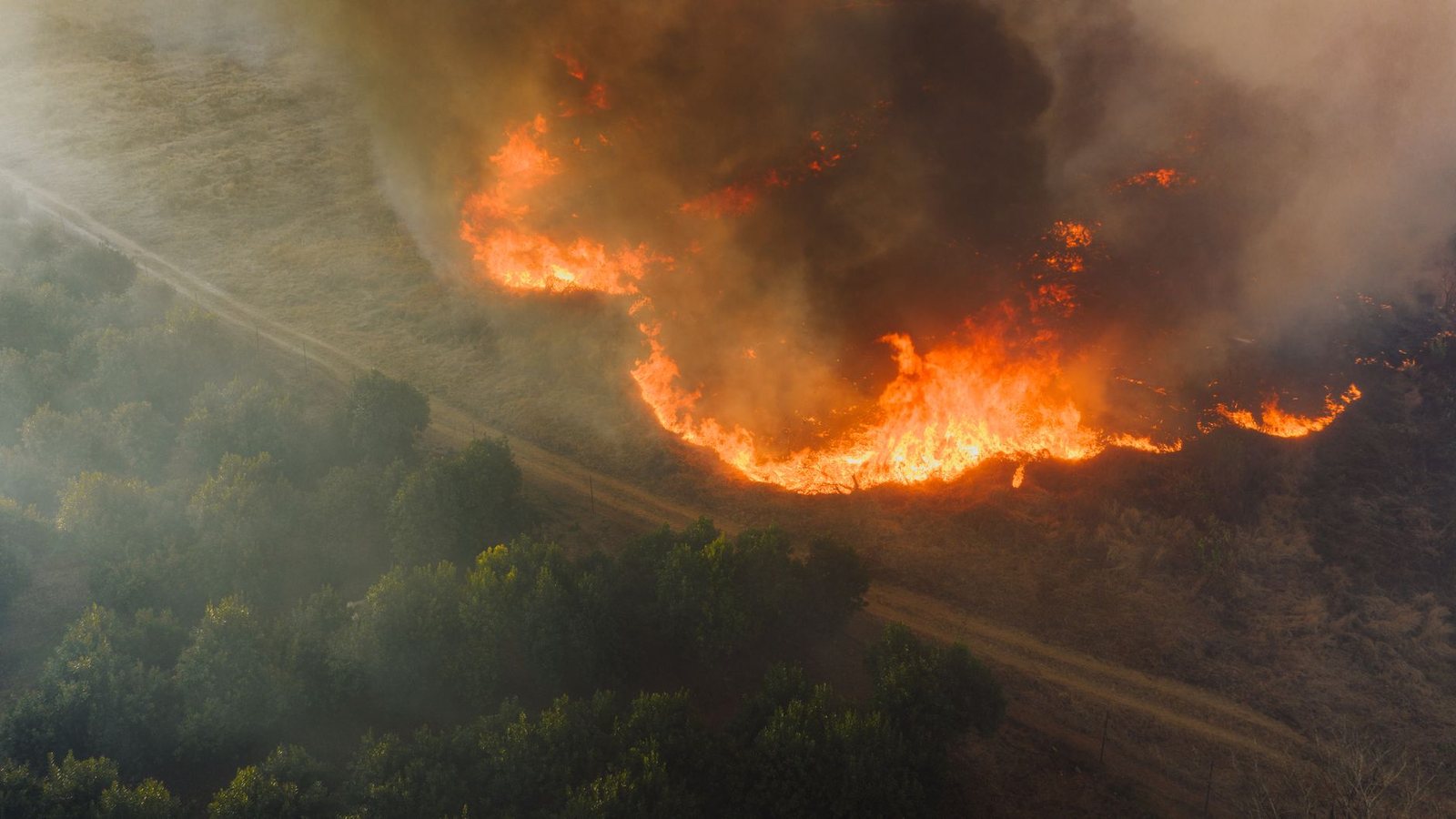
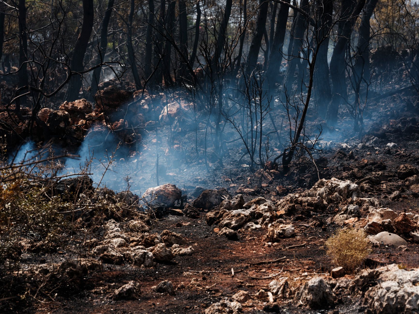
California usually leads the US feed by raw incident count. From Vancouver the use-case is different than a road trip: direct and one-stop flights to SFO and LAX, then outdoor plans (beaches, Griffith, wine country, Yosemite-adjacent) that fail when smoke sits in a basin.
Use the map for situational awareness, not as a substitute for county emergency alerts or park closure pages.
Live California fire map
Markers filtered client-side from /api/fv_us_fires.json where state = CA. Large red markers generally mean larger reported acres. Always verify with official sources below.
Flight trips, not I-5
YVR→SFO (~2h15) and YVR→LAX (~3h) are the default. City guides: San Francisco, Los Angeles, Las Vegas for desert detours. Smoke can make a “sunny California” weekend into indoor museums and AC — check AirNow the morning you fly.
Official stack
CAL FIRE for state status, InciWeb for large incidents, AirNow for air, Caltrans for roads. Our feed is the public NIFC WFIGS layer — same family of open data newsrooms use for national maps.
Official sources
Cite this page
https://fanvancouver.com/usa/wildfires/california/
Embed: <iframe src="https://fanvancouver.com/widgets/us-fire-map/?state=CA" width="100%" height="420" loading="lazy" title="California wildfire map"></iframe>
National USA map: https://fanvancouver.com/usa/wildfires/ · BC deep: https://fanvancouver.com/vancouver/bc-wildfires/
Related
Where California actually burns
California's fire year runs long — the state has recorded major fires in every month — but the destructive stretch is broadly July through October, and the worst days are wind days. In the north, Diablo winds funnel down through the Bay Area hills; in the south, Santa Ana winds push offshore from the desert toward Los Angeles and San Diego. A fire that is manageable on a calm morning becomes a mass-evacuation event when those winds arrive, which is why local warnings matter more than the raw incident count.
Official sources to check before you drive
CAL FIRE publishes the state incident list and containment figures. InciWeb carries federal incidents on national forest land, which is where most of the Sierra and Klamath fires appear. Caltrans QuickMap is the road-closure service — a closed section of Highway 1, 395 or 120 will show there long before it shows anywhere else. For air quality, AirNow is the official US index, and it uses the American AQI scale, not the Canadian AQHI.
What this means for a trip from Vancouver
The parks are the pressure point. Yosemite, Sequoia and Kings Canyon have all closed sections or entrances mid-season, and a park can be open while the approach highway is not. If you have booked accommodation inside a park in August or September, check both the park alert page and QuickMap the day before you travel. Coastal itineraries — San Francisco, Monterey, Santa Barbara, San Diego — are far more resilient, though smoke can still ground a viewpoint day. See our San Francisco and Los Angeles guides for the rest of the planning.