English
 Español
 Français
 Deutsch
 Українська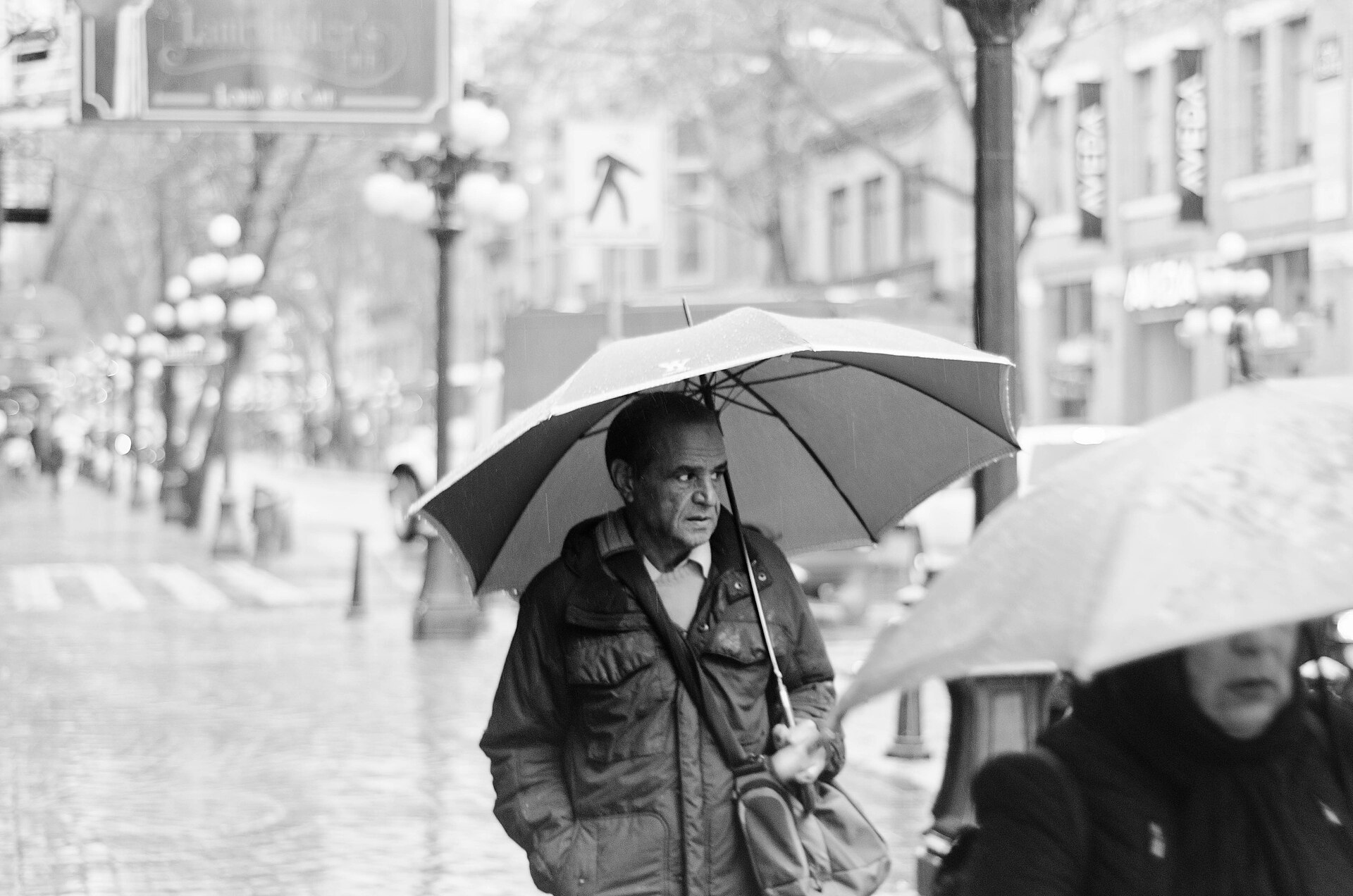
When the forecast says rain
- Swap ridge hikes for indoor anchors.
- Seawall only if wind is mild.
- Café + museum pairing.
- Re-check tomorrow before rebooking outdoors.
Published 2026-07-13 · Updated 2026-09-29 · Alex
Data: Open-Meteo (ECMWF / Environment Canada blend). For official forecasts see weather.gc.ca.
Vancouver Rain by Month: What to Expect
Vancouver's reputation for rain is deserved, but it is seasonal. The airport averages 1,189 mm of rain and snow a year over about 169 wet days, and 72% of it falls in the six months from October to March. July and August are genuinely dry, with six or seven wet days each and close to 290 hours of sunshine in July.
| Month | Precip. | Wet days | Sun hrs | High |
|---|---|---|---|---|
| 🌧️ Jan | 168 mm | 20 | 60 | 7°C |
| 🌧️ Feb | 105 mm | 15 | 91 | 8°C |
| 🌦️ Mar | 114 mm | 18 | 135 | 10°C |
| 🌦️ Apr | 89 mm | 15 | 185 | 13°C |
| ⛅ May | 65 mm | 13 | 223 | 17°C |
| ⛅ Jun | 54 mm | 12 | 227 | 20°C |
| ☀️ Jul | 36 mm | 6 | 290 | 22°C |
| ☀️ Aug | 37 mm | 7 | 277 | 22°C |
| ⛅ Sep | 51 mm | 8 | 213 | 19°C |
| 🌧️ Oct | 121 mm | 15 | 121 | 14°C |
| 🌧️ Nov | 189 mm | 20 | 60 | 9°C |
| 🌧️ Dec | 162 mm | 20 | 56 | 6°C |
| Year | 1,189 mm | 169 | 1,938 | 14°C |
Normals for Vancouver International Airport (station 1108447), 1981–2010, the latest official normals for the station: Environment and Climate Change Canada (data). Precipitation is rain plus melted snow; a wet day has at least 0.2 mm. Sun hrs = hours of bright sunshine in the month; High = average daily maximum. Wettest and driest months in bold.
When is the rainy season in Vancouver?
The rainy season runs from October to March. Rain returns in October (121 mm over about 15 wet days), November is the wettest month (189 mm, 20 wet days), and December and January stay close behind. March is wetter than many visitors expect: 18 wet days, more than February. April and May dry out steadily, June still has about 12 wet days of mostly light showers, and September is drier than June, with about eight.
Most wet days are light. Only about 42 days a year bring 10 mm or more, and about seven bring 25 mm or more, most of them between October and January. That is why locals plan around the rain rather than cancel: a wet forecast usually means drizzle and showers with dry gaps, not a day-long downpour.
The grey matters as much as the wet. December averages 56 hours of bright sunshine for the whole month, under two hours a day, against about 290 hours in July, and it is dark before 5 p.m. In winter, put outdoor sightseeing in the middle of the day.
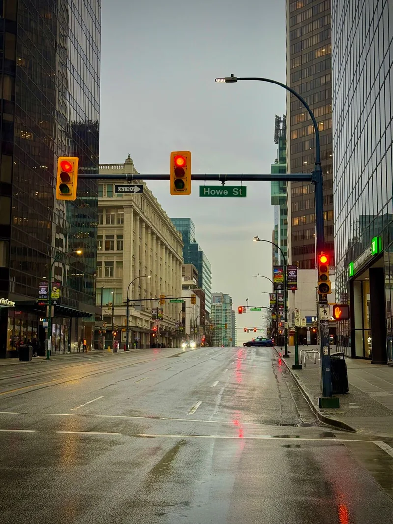
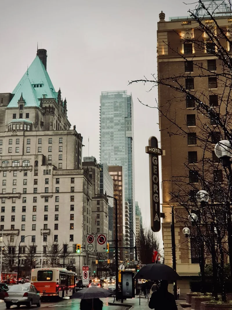
Choosing when to come? The month-by-month best time to visit Vancouver guide weighs rain against prices and events. For the wet months, see the Vancouver winter guide and things to do in November.
Rain across Metro Vancouver: the airport is the dry end
The airport figures above are the ones usually quoted for Vancouver, but they describe the driest corner of the region. The same Environment Canada normals show how fast the totals climb toward the North Shore mountains:
| Station | Elevation | Per year |
|---|---|---|
| Vancouver Airport (YVR), Richmond | 4 m | 1,189 mm |
| Richmond Nature Park | 3 m | 1,262 mm |
| North Vancouver Wharves (waterfront) | 7 m | 1,725 mm |
| North Vancouver, Second Narrows | 4 m | 1,831 mm |
| Burnaby, Capitol Hill | 183 m | 1,946 mm |
| Burnaby, Simon Fraser University | 366 m | 2,010 mm |
| North Vancouver, Sonora Drive | 183 m | 2,356 mm |
| Seymour Falls (North Shore watershed) | 244 m | 3,979 mm |
| Victoria Airport, for comparison | 20 m | 883 mm |
Annual precipitation normals, 1981–2010, from Environment and Climate Change Canada. Apart from the two airports, these stations have 21 to 27 years of data in the 30-year period, so read them as close guides rather than exact figures.
Most Pacific storms arrive from the west and south-west and are pushed up the Coast Mountains, which wring out more rain the further in the air travels. Seymour Falls sits at only 244 m but gets more than three times the airport's total. Sonora Drive in North Vancouver and Capitol Hill in Burnaby are at the same height, yet the North Shore station is about 20% wetter. Victoria, in the rain shadow of the Olympic Mountains, gets about a quarter less than Vancouver's airport.
In practice: when the forecast is wet, the flat south of the region, Richmond and Steveston, usually gets less of it than the North Shore slopes, and a dry morning downtown can still mean a soaked trail in Lynn Valley.
It's Raining — What Should I Do?
Rain rarely ruins a Vancouver day if you plan around it. Quick picks locals actually use:
- Granville Island Public Market — covered stalls, food, artisans; easily half a day.
- Vancouver Aquarium (Stanley Park) — first-rate and mostly indoor.
- Museum of Anthropology at UBC — one of Canada's best museums; pair with Indigenous culture guide.
- Science World — the geodesic dome at False Creek; great with kids.
- Vancouver Art Gallery — rotating exhibitions downtown.
- Richmond's food courts — some of the best Asian food in North America, all indoors.
- Capilano Suspension Bridge in the rain — genuinely atmospheric in mist, and crowds thin out.
Full plan with 2026 prices: what to do in Vancouver when it rains, with museums, free picks and kid-friendly options. Also: afternoon tea · Vancouver with kids · jazz bars · things to do.
What Locals Know About Vancouver Rain
Three things surprise visitors. First, locals don't use umbrellas much — the rain is usually a fine drizzle, and a decent waterproof shell with a hood is the uniform. Second, rain rarely lasts all day; showers move through and leave gaps, so flexible plans win. Third, the mountains change everything — it can pour downtown while Grouse Mountain sits above the cloud line in sunshine, and vice versa. Check the live conditions above before writing off an outdoor day.
Full rainy-day guide · Explore BC hub · Vancouver guide
What to wear, according to people who live in it
The single most reliable way to spot a visitor between October and March is the umbrella. Vancouver rain is usually light and often sideways off the water, and umbrellas fail on both counts. What works here, in order of importance:
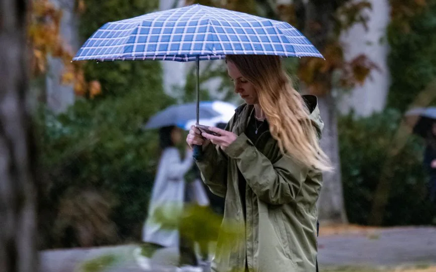
- A hooded waterproof shell. Not water-resistant — waterproof, with a hood that stays up in wind. Everything else is optional.
- Shoes that survive a puddle. Wet feet end a day faster than anything else, and the city's crossings pool at every corner in a downpour.
- Layers rather than warmth. Winter daytime highs average 6–8°C from December to February, and frost comes on only about 10 to 12 nights a month — a heavy coat is uncomfortable indoors and unnecessary outdoors.
- Nothing that needs an umbrella hand. You will want both hands for the camera, the coffee and the transit card.
How the rain actually arrives
It comes in bands off the Pacific, not as a single all-day event. A forecast showing 80% probability usually means several wet spells separated by dry hours, which is why locals schedule around it rather than cancelling. Late autumn brings atmospheric rivers — narrow corridors of subtropical moisture that stall over the coast and bring the year's heaviest rain. In November 2021 one cut every highway route between Vancouver and the rest of Canada for several days. Those are worth watching; ordinary November drizzle is not.
Two local details: the North Shore gets substantially more rain than the airport or downtown (see the station table above) because the mountains lift the incoming air, so a wet day in West Vancouver can be a dry one in Kitsilano. And on the coldest wet days the snow line sits just above the city — rain at sea level, snow on the three local mountains, which is why a grey afternoon downtown can be a bright one at 1,000 metres.
📬 Vancouver This Weekend
One short email every Friday: the weekend's best events, free things to do, and one local tip. No spam, unsubscribe anytime.