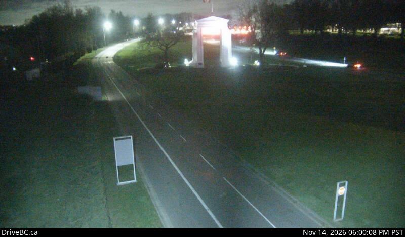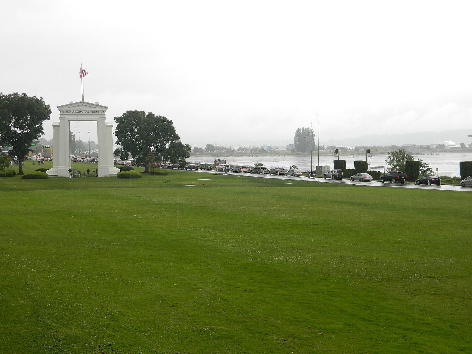
The Peace Arch monument at the Canada–United States border

FanVancouver · Local guide

Border Cameras Live: Peace Arch, Pacific Highway, Aldergrove

Live DriveBC cameras at the Lower Mainland land border crossings: Peace Arch (Hwy 99), Pacific Highway (Hwy 15).

Home · Highway cameras · Border crossings

Four road crossings link Metro Vancouver and the Fraser Valley with Washington State. These are the province's own DriveBC cameras on the B.C. side of each one, west to east, so you can see the southbound queue before you join it.

Peace Arch (Douglas): Highway 99

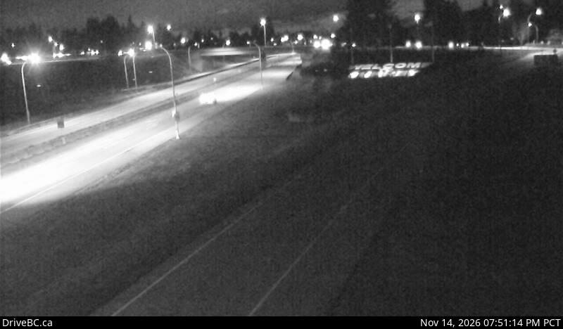
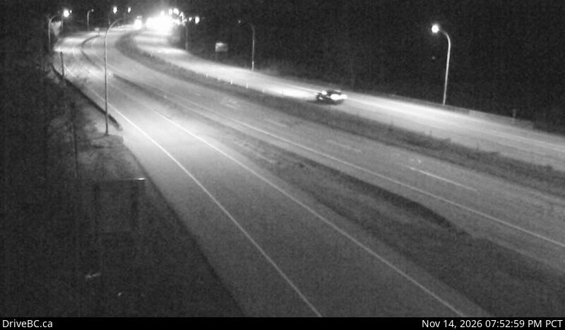
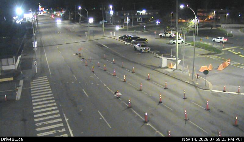
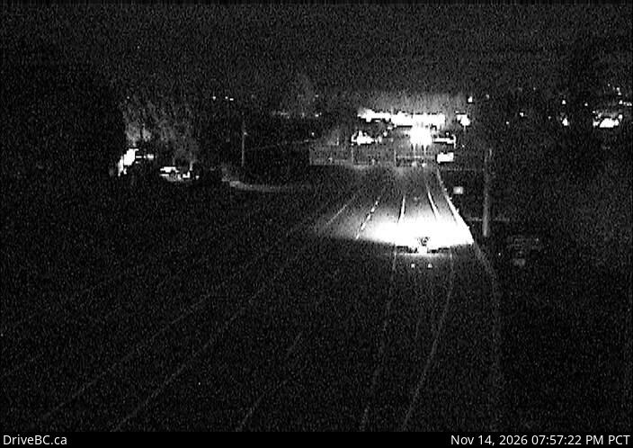
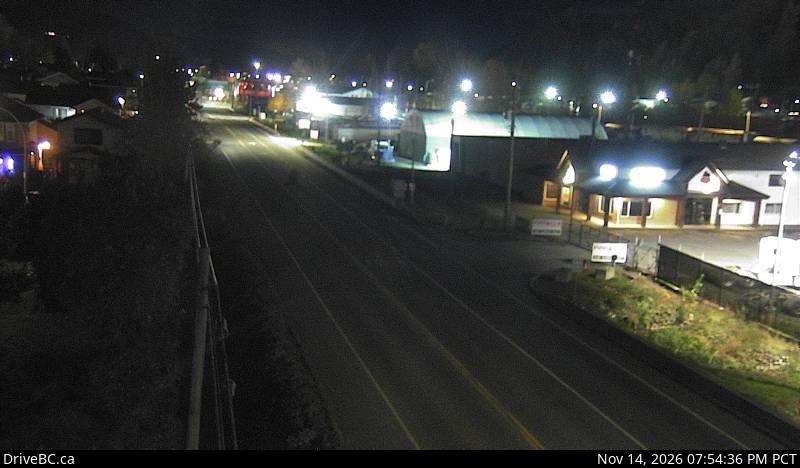
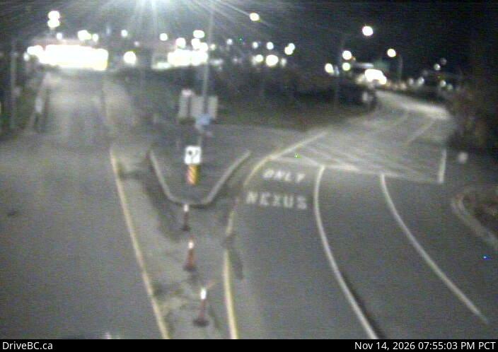
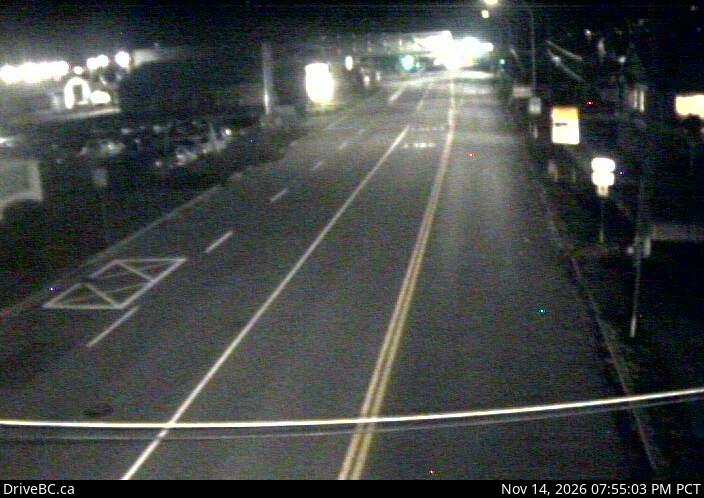
DriveBC snapshot: Highway 99 at 8 Avenue in White Rock, looking northApproachHighway 99 at 8 AvenueLooking northDriveBC snapshot · Check image timestampDriveBC snapshot: Highway 99 at 8 Avenue in White Rock, looking southApproachHighway 99 at 8 AvenueLooking southDriveBC snapshot · Check image timestampDriveBC snapshot: Highway 99 near Douglas (Peace Arch) Canada/USA border, looking southNear the crossingBeach RoadLooking southDriveBC snapshot · Check image timestampDriveBC snapshot: Highway 99 near Douglas (Peace Arch) Canada/USA border, looking northNear the crossingBeach RoadLooking northDriveBC snapshot · Check image timestampDriveBC snapshot: Highway 99 at the Douglas (Peace Arch) border crossing, looking northAt the borderPeace Arch crossingLooking northDriveBC snapshot · Check image timestamp

Pacific Highway (truck crossing): Highway 15

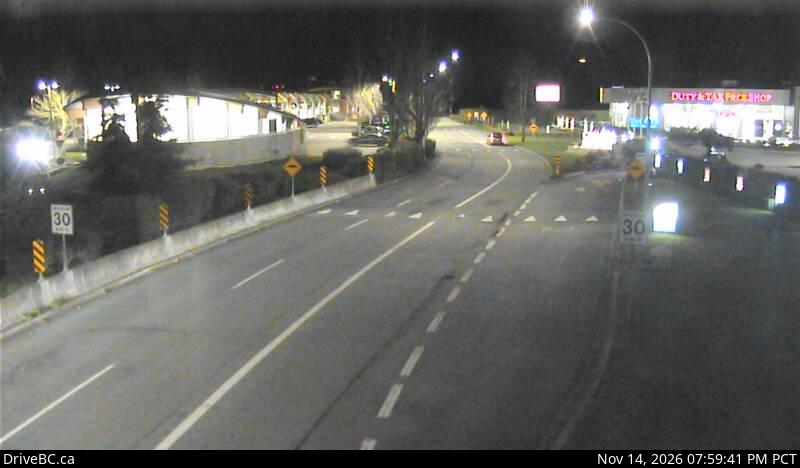
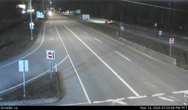
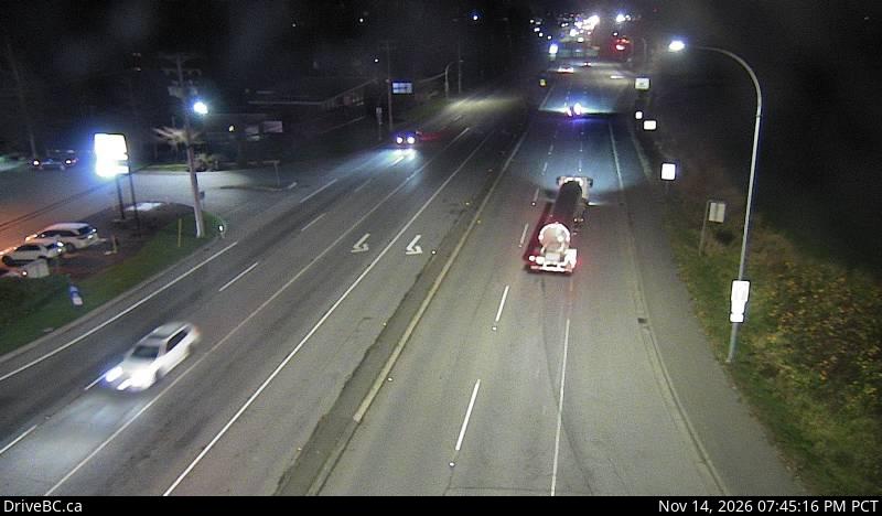
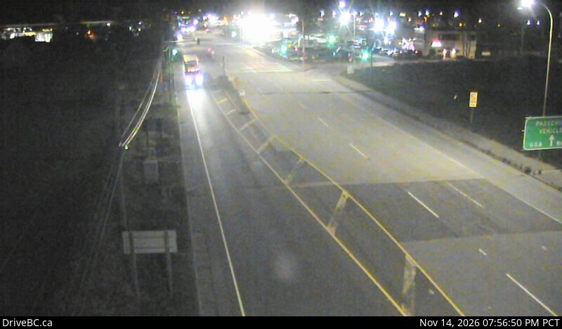
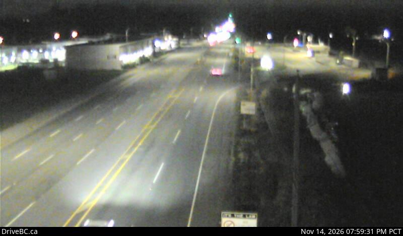
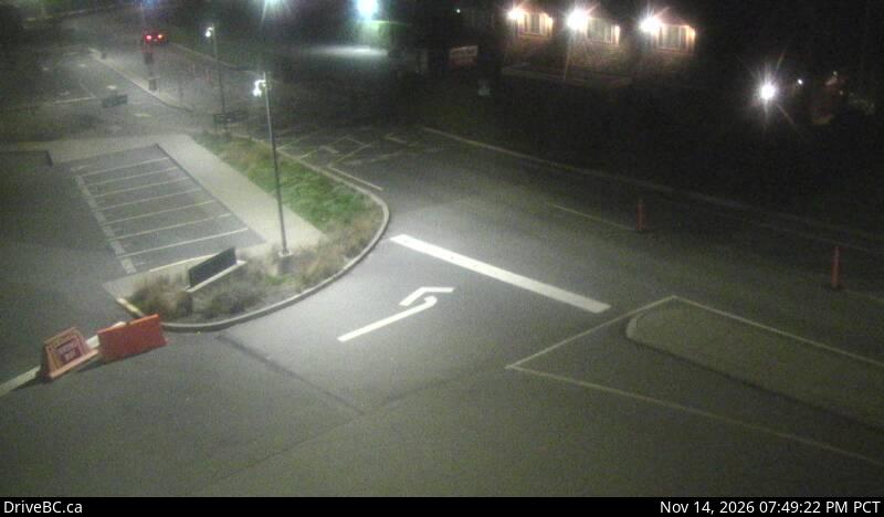
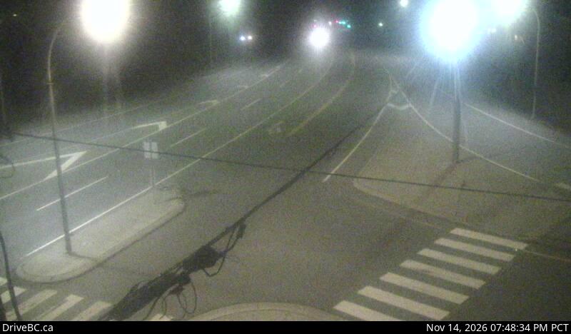
DriveBC snapshot: Highway 15 at 8 Avenue in South Surrey, looking southApproachHighway 15 at 8 AvenueLooking southDriveBC snapshot · Check image timestampDriveBC snapshot: Highway 15/Pacific Highway (Truck Crossing) border crossing at 2 Avenue, looking southNear the crossingSecond AvenueLooking southDriveBC snapshot · Check image timestampDriveBC snapshot: Highway 15/Pacific Highway (Truck Crossing) border crossing at 2 Avenue, looking northNear the crossingSecond AvenueLooking northDriveBC snapshot · Check image timestampDriveBC snapshot: Highway 15/Pacific Highway (Truck Crossing) border crossing at the Canada/USA border, looking northAt the borderPacific Highway crossingLooking northDriveBC snapshot · Check image timestamp

Aldergrove (Lynden): Highway 13

DriveBC snapshot: Highway 13 at 264 Street Diversion, south of 8 Avenue, looking southApproach264 Street DiversionLooking southDriveBC snapshot · Check image timestampDriveBC snapshot: Highway 13 Aldergrove border crossing at Highway 13 and 0 Avenue, looking southAt the borderAldergrove crossingLooking southDriveBC snapshot · Check image timestampDriveBC snapshot: Highway 13 Aldergrove border crossing at Highway 13 and 0 Avenue, looking northAt the borderAldergrove crossingLooking northDriveBC snapshot · Check image timestamp

Abbotsford-Huntingdon (Sumas): Highway 11

DriveBC snapshot: Highway 11 at Farmer Road, looking southApproachHighway 11 at Farmer RoadLooking southDriveBC snapshot · Check image timestampDriveBC snapshot: Highway 11 Abbotsford-Huntingdon border crossing at 2 Avenue, looking southAt the borderAbbotsford-Huntingdon crossingLooking southDriveBC snapshot · Check image timestampDriveBC snapshot: Highway 11 Abbotsford-Huntingdon border crossing at 2 Avenue, looking northAt the borderAbbotsford-Huntingdon crossingLooking northDriveBC snapshot · Check image timestamp

Live stills from DriveBC, the Province of British Columbia's highway cameras (Open Government Licence – British Columbia). The page requests new stills every two minutes while visible. A successful load does not prove a recent capture: check the timestamp in the image. Tap a camera to open it on DriveBC.

All B.C. highway cameras → Closures and delays

How to use the border cameras

  • Pair the picture with the number. The border wait times page has the posted waits in both directions; the cameras show whether the queue matches.
  • Peace Arch and Pacific Highway are a few minutes apart. Look at both before the last exit: one is often shorter.
  • Check the time stamped in each image. A frozen frame tells you nothing about the line now; open the camera on DriveBC if the time looks wrong.
  • Cameras show the B.C. side. For the northbound queue coming home, use the posted waits.

Related

On the road around Vancouver