Live data for newsrooms · free · no signup
BC Wildfire & Air Quality: Live Data for Newsrooms
Real-time British Columbia wildfire counts, evacuation totals and Vancouver air quality — from official open data, refreshed automatically. Copy-paste embeds, open JSON and a clear licence to cite. This is the public, citable URL; the raw widgets are noindex.
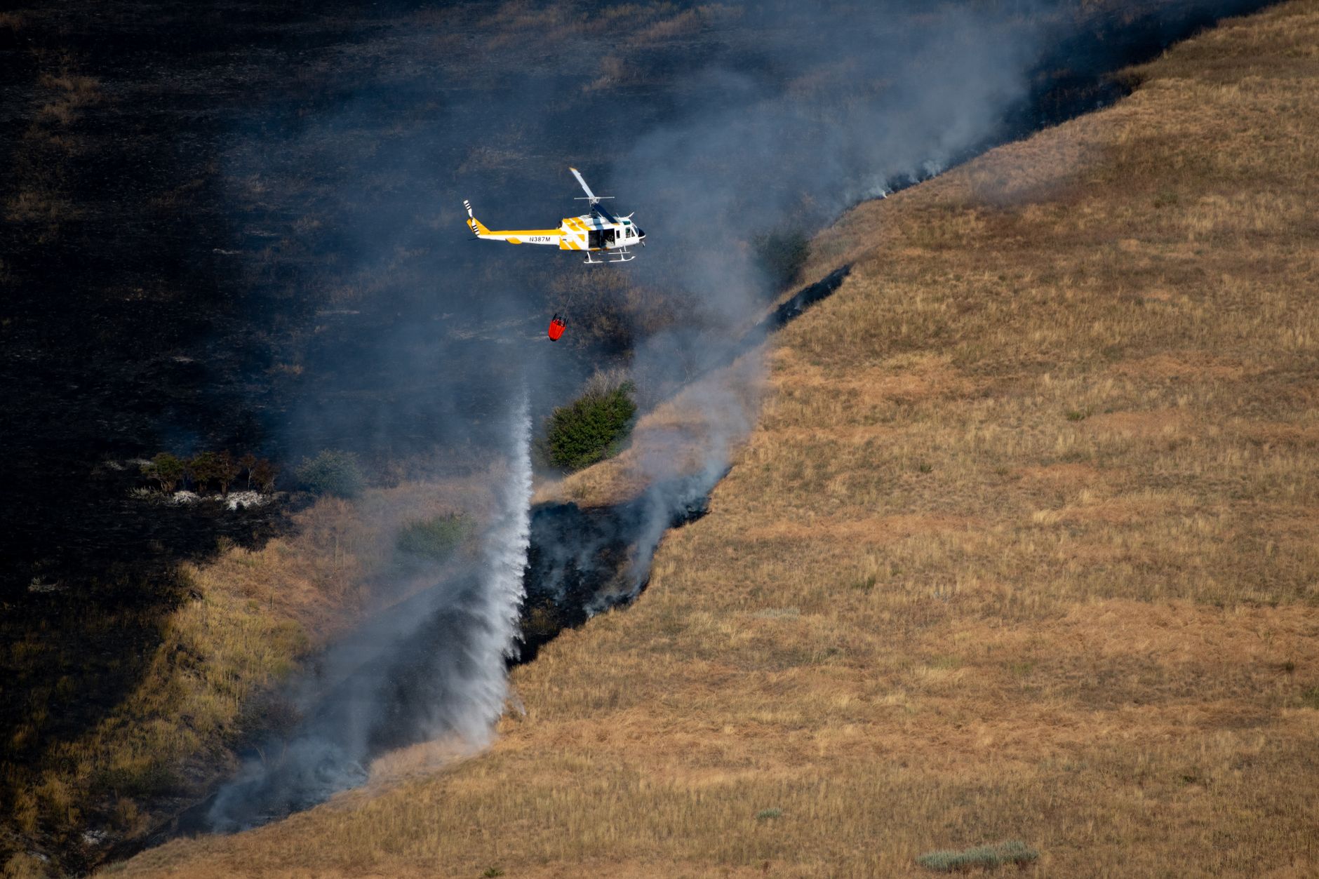
A BC air tanker on an active Interior fire. Photo desks: request a higher-resolution frame via contact.
Live — last reading 2026-10-04T16:30+00:00. Figures refresh in your browser on load.
As of October 4, 2026 UTC, BC Wildfire Service open data shows 75 active wildfires across British Columbia — 1 out of control, 12 being held — burning roughly 414,918 hectares, out of 1441 fires recorded this season. The largest active incident, Pear Lake (E of Pear Lake), covers about 165,909 hectares. Provincial evacuation data lists about 291 people under evacuation order across 4 fires, with a further 9 properties on alert. Vancouver's AQHI is 1; the highest station reading in the feed is 2 at Fort St. John. Full visitor context — smoke, roads, what's still drivable — lives on the live BC wildfire guide.
Copy-paste embeds
Live BC wildfire map
<iframe src="https://fanvancouver.com/widgets/fire-map/" width="100%" height="480" style="border:0;border-radius:12px" loading="lazy" title="Live BC wildfire map"></iframe>
Attribution is built into the bar under the map (a link to FanVancouver, data credited to BC Wildfire Service). Keep the iframe src on fanvancouver.com so it keeps updating. Height 480px fits most article wells; 360px works in a sidebar.
Vancouver air-quality (AQHI) badge
A smaller footprint for “is Vancouver smoky?” explainers — Environment Canada AQHI, updated hourly:
<iframe src="https://fanvancouver.com/widgets/aqhi/" width="360" height="190" style="border:0;border-radius:12px" loading="lazy" title="Vancouver air quality AQHI live"></iframe>
USA wildfire map (NIFC)
<iframe src="https://fanvancouver.com/widgets/us-fire-map/" width="100%" height="420" style="border:0;border-radius:12px" loading="lazy" title="USA wildfire map"></iframe>
State layers: continental hub — California, Oregon and Washington each have a live layer.
How to cite — free, with a link
This data is free to cite, quote and embed for news, blogs and public-interest sites — no fee, no signup. The one thing we ask: a visible link to fanvancouver.com, and please keep credit to the underlying agencies. Paste this under a chart or map:
Wildfire & air-quality data via <a href="https://fanvancouver.com/embed/">FanVancouver</a>, sourced from the BC Wildfire Service and Environment Canada.
Formal citation: FanVancouver, “BC Wildfire & Air Quality: Live Data,” https://fanvancouver.com/embed/ (accessed October 4, 2026). Underlying data: BC Wildfire Service (DataBC); Environment Canada AQHI.
Open JSON (data desks)
Three open feeds — CORS enabled for GET, no key required:
- /api/fv_fires.json — active incidents, counts, largest fire.
- /api/fv_air_quality.json — AQHI by station, plus forecast (27 stations).
- /api/fv_wildfire_live.json — evacuation orders and alerts, with totals.
We slim the official DataBC WFS so a page can load it; we do not invent counts. If you republish a number, stamp the time you pulled it — the season moves every half hour.
Data dictionary — fv_fires.json
| Field | Type | Meaning |
|---|---|---|
active_count | integer | Wildfires currently active in British Columbia. |
active_ha | number | Hectares currently burning across active incidents. |
season_total | integer | Fires recorded so far this calendar year. |
stats | object | Count of active fires by status (Out of Control, Being Held, Under Control, New). |
largest | object | Largest active incident — n name, sz size in hectares, g geographic description. |
fires[] | array | Per-incident records: n name, lat/lon coordinates, s status, sz size (ha), c cause, d discovery date. |
updated | string | ISO-8601 UTC timestamp of the pull from the upstream layer. |
source | string | Upstream attribution string. |
Methodology & sources
- BC wildfire incidents — BC Wildfire Service active-fire layer (DataBC open data), refreshed about every 30 minutes. We keep name, location, size in hectares and status; we drop nothing that changes a count.
- Air quality (AQHI) — Environment Canada Air Quality Health Index station observations, updated hourly, with the published forecast where available. Currently 27 BC stations.
- Evacuations — BC Emergency Order and Alert Areas (DataBC), cross-checked against BC Gov News bulletins. Totals count properties and people under active order or alert.
We publish numbers, not interpretations, and we never fabricate a figure to fill a gap — a missing upstream shows as “—”, not a guess. Corrections: contact us with the field and the source. Editorial standards: editorial policy · sources.
This is not an official emergency product. Evacuation orders and alerts are issued by regional districts and EmergencyInfoBC. FanVancouver is a visitor-facing layer over open data; always verify life-safety information with the issuing authority.
Terms
- Free for news, blogs and public-interest sites. No licence fee, no signup.
- Keep the iframe
srcon fanvancouver.com so the map keeps updating. A hot-linked screenshot goes stale. - Do not place the widget next to grey-market “fire tour” or ticket-scalper offers.
- A custom size, or a data cut for a specific story: contact us with your outlet and deadline.
Pitch pack and boilerplate: press kit.
Server-rendered 2026-10-04T16:41:18+00:00 from the live JSON, so crawlers see today's numbers without JavaScript; your browser then refreshes them live.
Questions travellers ask most
Can I use FanVancouver's wildfire data for free?
Yes. The live counts, JSON feeds and embeds are free for news, blogs and public-interest sites — no licence fee and no signup. We ask for a visible link to fanvancouver.com and that you keep credit to the underlying agencies.
How often does the data update?
BC wildfire counts refresh about every 30 minutes from BC Wildfire Service open data. Air Quality Health Index (AQHI) readings update hourly from Environment Canada. Evacuation totals refresh about every 30 minutes from the BC Emergency Order and Alert Areas layer.
How should I cite it?
Credit FanVancouver with a link to https://fanvancouver.com/embed/ and name the underlying sources — BC Wildfire Service and Environment Canada. A ready-to-paste attribution line is on the page.
Is this an official emergency source?
No. Evacuation orders and alerts are issued by regional districts and EmergencyInfoBC. FanVancouver is a visitor-facing layer over official open data; always verify life-safety information with the issuing authority.