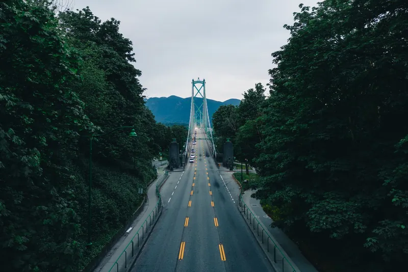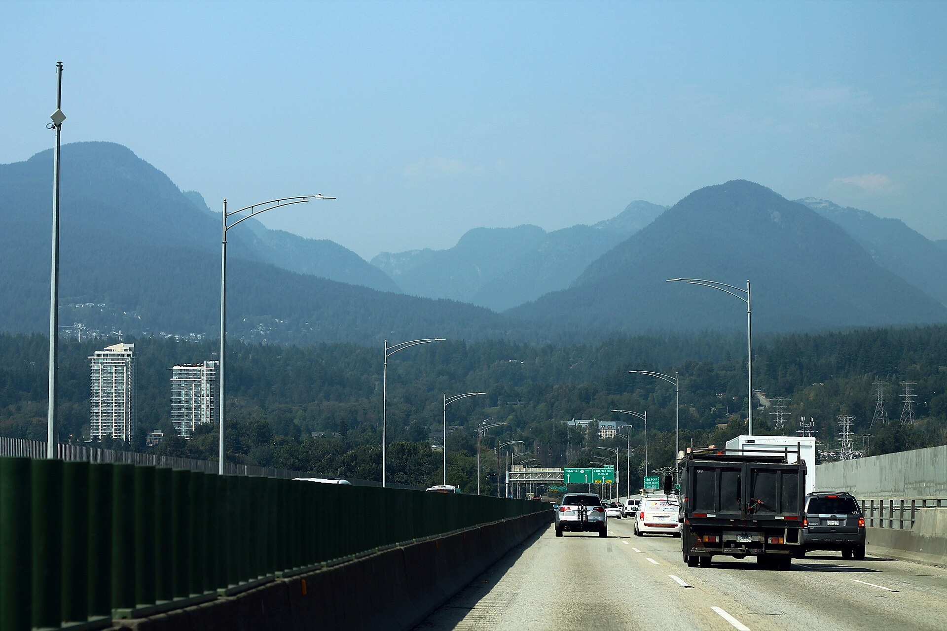
Highway 1 on the Ironworkers Memorial Bridge heading toward the North Shore mountains

FanVancouver · Local guide

Ironworkers Memorial Bridge Cameras Live: Second Narrows

Live DriveBC cameras on the Ironworkers Memorial (Second Narrows) Bridge: both approaches and mid-span on Highway 1, with Lions Gate to compare.

Home · Highway cameras · Ironworkers Memorial Bridge

The Ironworkers Memorial Second Narrows Crossing carries Highway 1 over Burrard Inlet between East Vancouver and North Vancouver. It is one of only two road bridges to the North Shore, so a stall here is felt on Lions Gate within minutes. These are the province's own DriveBC cameras, from the Vancouver side to the North Shore side.

Vancouver side: the south approach

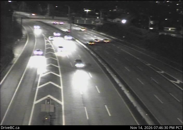
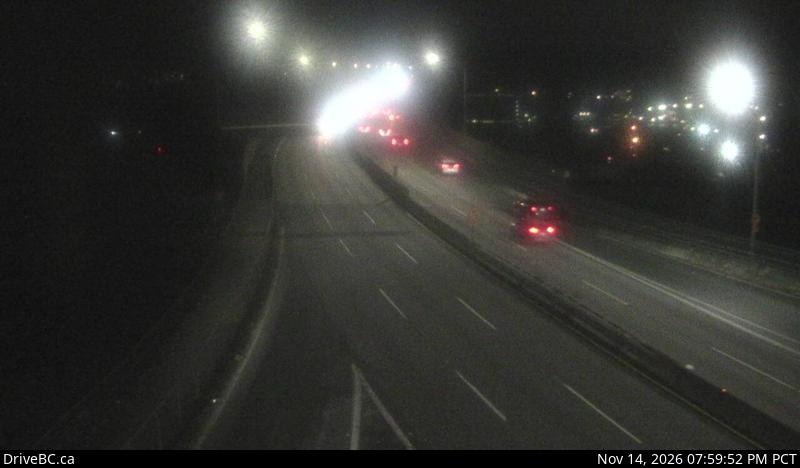
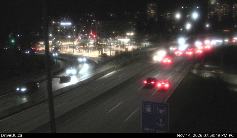
DriveBC snapshot: Highway 1 at the Cassiar Tunnel south end, looking southBefore the bridgeCassiar Tunnel, south endLooking southDriveBC snapshot · Check image timestampDriveBC snapshot: Highway 1 at the south end of Ironworkers Memorial Bridge, looking westbound towards the North ShoreVancouver sideSouth end, westboundLooking westbound towards the North ShoreDriveBC snapshot · Check image timestampDriveBC snapshot: Highway 1 at the south end of Ironworkers Memorial Bridge, looking eastbound toward the Cassiar TunnelVancouver sideSouth end, eastboundLooking eastbound toward the Cassiar TunnelDriveBC snapshot · Check image timestamp

On the bridge and the North Vancouver side

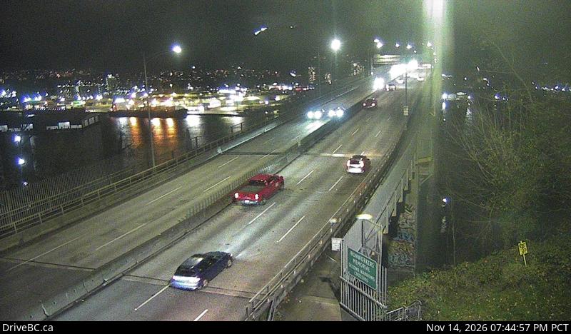
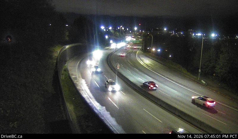
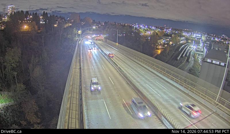
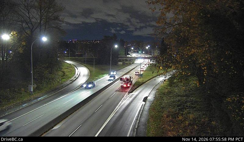
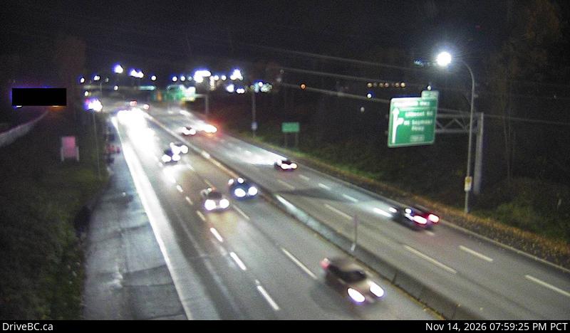
DriveBC snapshot: Highway 1 at mid-span on the Ironworkers Memorial Bridge, looking southOn the bridgeMid-spanLooking southDriveBC snapshot · Check image timestampDriveBC snapshot: Highway 1 at the north end of Ironworkers Memorial Bridge, looking southNorth Vancouver sideNorth endLooking southDriveBC snapshot · Check image timestampDriveBC snapshot: Highway 1 at the north end of Ironworkers Memorial Bridge, looking northNorth Vancouver sideNorth endLooking northDriveBC snapshot · Check image timestampDriveBC snapshot: Highway 1 at the northend of Ironworkers Memorial Bridge by Fern Street, looking southboundNorth Vancouver sideNorth approach at Fern StreetLooking southboundDriveBC snapshot · Check image timestampDriveBC snapshot: Highway 1 at the northend of Ironworkers Memorial Bridge by Fern Street, looking northboundNorth Vancouver sideNorth approach at Fern StreetLooking northboundDriveBC snapshot · Check image timestamp

The other crossing: Lions Gate

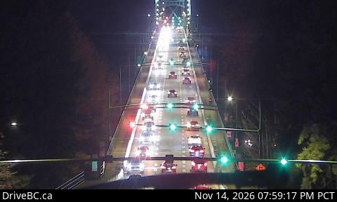
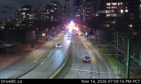
DriveBC snapshot: Lions Gate Bridge north end, looking southCompare before you commitLions Gate Bridge, north endLooking southDriveBC snapshot · Check image timestampDriveBC snapshot: Georgia Street at Chilco, looking southCompare before you commitGeorgia Street at ChilcoLooking southDriveBC snapshot · Check image timestamp

Live stills from DriveBC, the Province of British Columbia's highway cameras (Open Government Licence – British Columbia). The page requests new stills every two minutes while visible. A successful load does not prove a recent capture: check the timestamp in the image. Tap a camera to open it on DriveBC.

All B.C. highway cameras → Closures and delays

How to use these cameras

  • Look at both ends, then the middle. A clear mid-span frame with a packed approach means the queue is on the on-ramps, not on the deck.
  • Compare with Lions Gate before you choose. The two bridges are the only roads to the North Shore; the last row shows Lions Gate so you can pick the shorter queue. More views on the Lions Gate Bridge cameras page.
  • Check the time stamped in each image. A frozen frame tells you nothing about the bridge now; open the camera on DriveBC if the time looks wrong.
  • No car? The SeaBus crosses the inlet between Waterfront Station and Lonsdale Quay and does not care about bridge traffic. Fares are on the Compass fares page.

Related

Header photo: “TCH-1 West - Facing Mountains from Bridge” by formulanone, CC BY-SA 2.0, cropped.

On the road around Vancouver