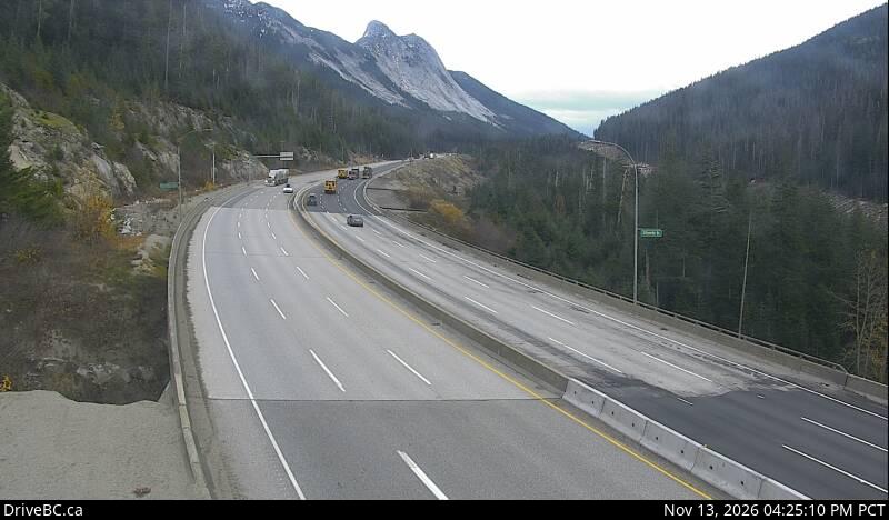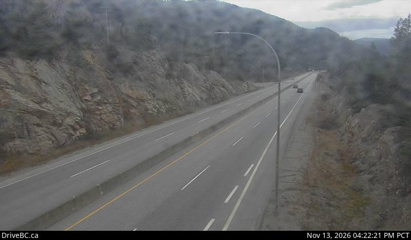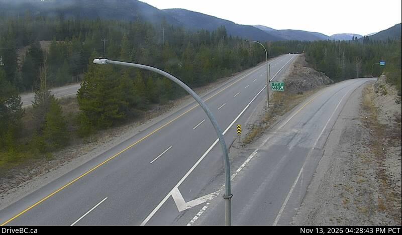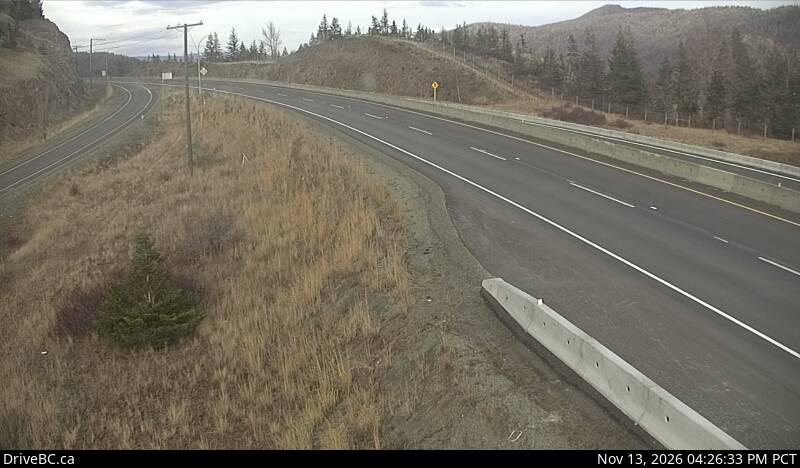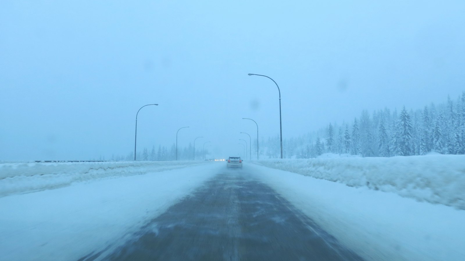
Snow-packed Coquihalla Highway in a winter storm, lamp posts fading into the snowfall

FanVancouver · Local guide

Coquihalla Highway Cameras Live: Hwy 5 Hope to Merritt

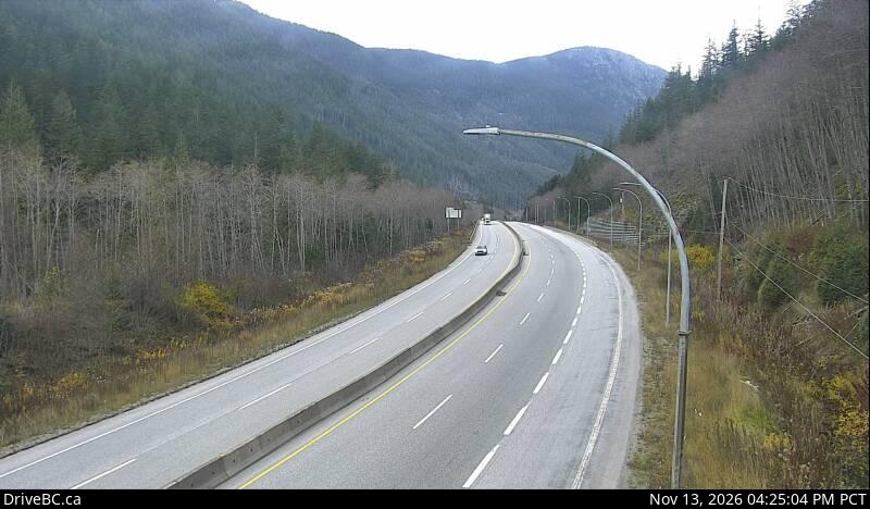
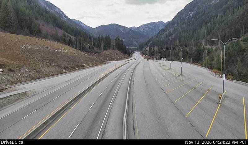
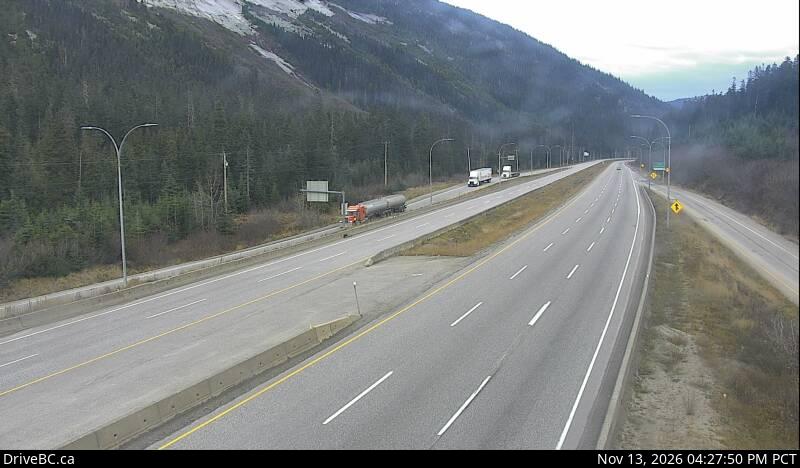
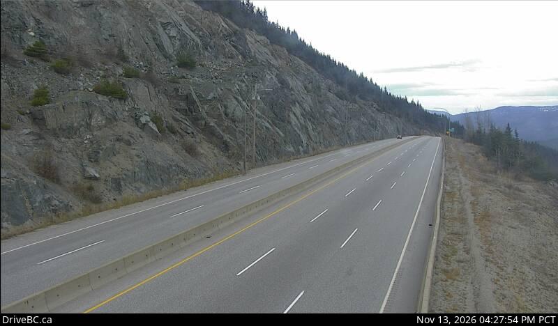
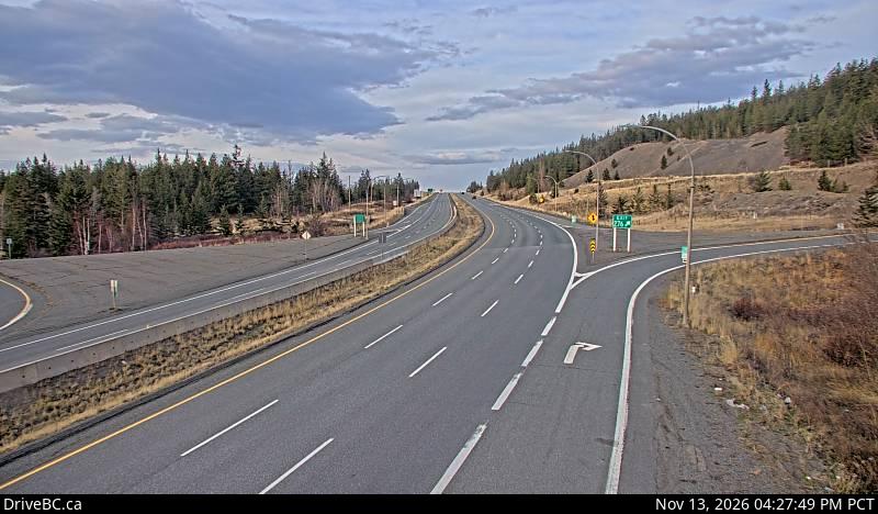
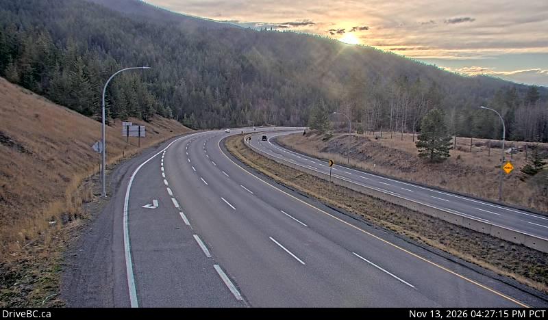
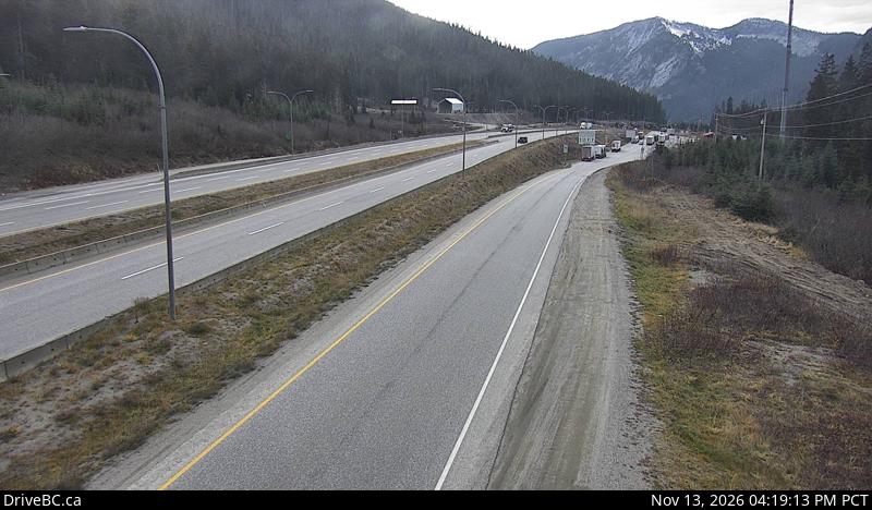
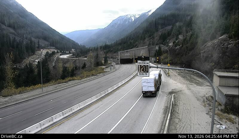
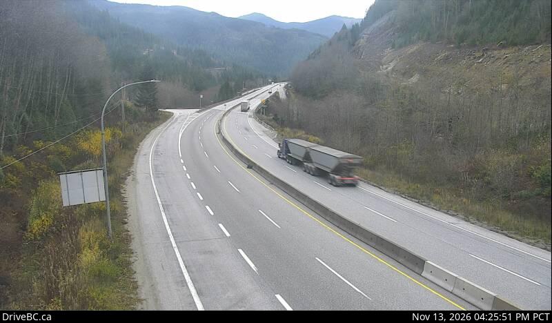
Live DriveBC cameras on the Coquihalla (Hwy 5), south to north: Portia and Box Canyon chain-ups, Zopkios, the 1,244 m summit and Great Bear Snowshed.

Home · Highway cameras · Coquihalla

The Coquihalla (Highway 5) climbs from Hope to a summit at 1,244 m before it drops to Merritt, and it can be snowing at the top while it rains in Vancouver. These are the province's own DriveBC cameras, in driving order from the Portia chain-up past Zopkios, the summit and the Great Bear Snowshed to Merritt.

Live cameras from Hope to Merritt, south to north

DriveBC snapshot: Highway 5 at the northbound Portia Chain Up, looking northHope side · northboundPortia chain-upLooking northDriveBC snapshot · Check image timestampDriveBC snapshot: Highway 5 near Box Canyon Chain Up, looking northClimbing · northboundBox Canyon chain-upLooking northDriveBC snapshot · Check image timestampDriveBC snapshot: Highway 5 northbound at Zopkios Rest Area near the Coquihalla Summit looking northSummit · northboundZopkios rest areaLooking northDriveBC snapshot · Check image timestampDriveBC snapshot: Highway 5 about 7 km north of Zopkios Brake Check, looking northSummit · northboundCoquihalla SummitLooking northDriveBC snapshot · Check image timestampDriveBC snapshot: Highway 5 at the Great Bear Snowshed, looking northSummit · northboundGreat Bear SnowshedLooking northDriveBC snapshot · Check image timestampDriveBC snapshot: Highway 5 about 61 km south of Merritt, looking northPast the summitCoquihalla LakesLooking northDriveBC snapshot · Check image timestampDriveBC snapshot: Highway 5 at Britton Creek Rest Area northbound turnoff, looking northPast the summitBritton Creek rest areaLooking northDriveBC snapshot · Check image timestampDriveBC snapshot: Highway 5 about 36 km south of Merritt at Larson Hill, looking northToward MerrittLarson HillLooking northDriveBC snapshot · Check image timestampDriveBC snapshot: Highway 5 about 15km south of Merritt at Comstock Road, looking northToward MerrittComstock RoadLooking northDriveBC snapshot · Check image timestamp

Coming back to Vancouver: southbound views

DriveBC snapshot: Highway 5 about 15km south of Merritt at Comstock Road, looking southMerritt side · southboundComstock RoadLooking southDriveBC snapshot · Check image timestampDriveBC snapshot: Highway 5 southbound at Zopkios Rest Area near the Coquihalla Summit, looking southSummit · southboundZopkios rest areaLooking southDriveBC snapshot · Check image timestampDriveBC snapshot: Highway 5 at the Great Bear Snowshed, looking southSummit · southboundGreat Bear SnowshedLooking southDriveBC snapshot · Check image timestampDriveBC snapshot: Highway 5 at the northbound Portia Chain Up, looking southDown to Hope · southboundPortia chain-upLooking southDriveBC snapshot · Check image timestamp

Live stills from DriveBC, the Province of British Columbia's highway cameras (Open Government Licence – British Columbia). The page requests new stills every two minutes while visible. A successful load does not prove a recent capture: check the timestamp in the image. If DriveBC fails, a backup is shown only when its download was within the last ten minutes. Tap a camera to open it on DriveBC.

All Highway 5 cameras → Closures and delays Winter driving rules

How to read the Coquihalla cameras

  • The summit group is the one that matters. Zopkios, the Coquihalla Summit camera and the Great Bear Snowshed sit together near the top. If the road surface is white there, expect snow on the whole climb, whatever the frames near Hope show.
  • Portia and Box Canyon are chain-up areas. Their cameras show whether trucks are stopping to chain up, which is usually the first sign the pass is turning.
  • Check the time stamped in each image. A frozen or old frame tells you nothing about the road now; open the camera on DriveBC if the time looks wrong.
  • Driving back to Vancouver, look at the southbound row: the descent from Zopkios toward Hope is where you need the most room to stop.

Before you drive the Coquihalla in winter

  • Winter tires or chains are the law on signed B.C. highways from 1 October, on most routes until 30 April. M+S or three-peak mountain snowflake tires; the details are on driving in Vancouver and B.C.
  • Closures: crashes and avalanche control can close Highway 5. The road closures page lists current DriveBC events for the Coquihalla, Highway 1 and the Sea to Sky.
  • Fuel: fill the tank before you leave Hope; gaps between stations are long enough to matter if a closure sends you round.
  • If the Coquihalla is closed: Highway 3 through Manning Park toward the Okanagan, or Highway 1 through the Fraser Canyon toward Kamloops. Check both for closures first; they are mountain roads too.

More road cameras

Header photo: “Wintry conditions on the Coquihalla Highway” by Ruth Hartnup, CC BY 2.0, cropped.

On the road around Vancouver