Home · Vancouver today · Weather alerts
Every Environment Canada warning, watch, advisory and statement in effect for Metro Vancouver, Howe Sound, Whistler and the Fraser Valley, read from the official alerts feed every 30 minutes. Below it: what is happening on the roads, at the airport and on the water, and what each alert usually means for a day in the city.
1 weather alert in effect for the Vancouver area
Statement
Coastal flooding statement
- Hazard
- Possible coastal flooding due to storm surge. Water levels will likely exceed highest astronomical tide.
- When
- Today and potentially into the weekend. Peak water levels will be observed during 10AM-12PM local time.
- Where
- Low-lying and exposed coastal sections of Metro Vancouver and Musqueam First Nation including Boundary Bay to Semiahmoo Bay
Areas covered (5):
- Coastline of Metro Vancouver incl. Vancouver and Musqueam FN
- Boundary Bay including Beach Grove
- Mud and Semiahmoo Bay: South Surrey - White Rock - Semiahmoo FN
- Shoreline of the Strait of Georgia including Tsawwassen
- Southern Gulf Islands
Issued Fri 13 Nov, 4:55 am · expected to end Sun 15 Nov, 2:00 pm PCT
Source: Environment and Climate Change Canada, public alerts feed. Checked 13 Nov 2026, 3:32 pm PCT. Read the full bulletin on the official page before you act on it.
Storm-day status board
An alert tells you what the weather will do. These live pages tell you what it has already done to the city.
Not tracked here, so check the operator: BC Hydro outage map · TransLink service alerts · BC Ferries current conditions · DriveBC.
What each alert means for your day in Vancouver
Environment Canada writes alerts for forecast zones, not for cities. Metro Vancouver is split into several zones, among them the central zone with the City of Vancouver and Burnaby, the North Shore, and the zones toward Richmond, Surrey and Coquitlam. The mountains make the difference real: the North Shore regularly gets far more rain and snow than the airport on the same day. Read the zone list in each alert before you decide it applies to you.
| Alert | What it usually means here | Check next |
|---|
| Rainfall | A Pacific front or an atmospheric river. Water pools on roads and at underpasses, creeks on the North Shore run high, and mountain highways can close for slides or flooding. | Road closures, live rain |
| Wind | Ferry sailings are cancelled or delayed, trees and branches come down, and power goes out in pockets. The Park Board can close Stanley Park and parts of the seawall in a strong windstorm. | BC Ferries, BC Hydro outage map |
| Snowfall | The city has hills and limited ploughing on side streets, so a modest snowfall slows buses and traffic. Highways out of the city need winter tires in season. | Vancouver in the snow, highway cameras |
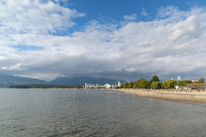
| Coastal flooding | A storm surge on top of a large winter high tide. Low stretches of seawall, beaches and waterfront paths can be awash for an hour or two around high tide. | Tide times · King tide dates |
| Fog | Visibility drops near the water and the river. Harbour floatplanes fly by sight and stop first. Airline flights at YVR can be delayed. | YVR delay risk |
| Arctic outflow | Cold interior air pours out through the Fraser Valley and Howe Sound. It is dry and bright, but the wind makes it feel far colder than the thermometer says. | Winter guide |
| Heat | Summer only. Many older Vancouver hotels and rentals have no air conditioning, which matters more than the daytime high. | Where to stay |
| Air quality | Wildfire smoke, mostly in late summer. Views disappear and outdoor exercise is best postponed. | Wildfire and smoke hub |
Warning, watch, advisory, statement
- Warning. Hazardous weather is happening or about to happen. Change plans that depend on a highway, a ferry or a mountain.
- Watch. Conditions are favourable for hazardous weather, but timing or location is still uncertain. Keep the plan and keep checking.
- Advisory. Less severe, still disruptive. Fog is the usual one in Vancouver.
- Special weather statement. A heads-up about unusual conditions, often issued a day or two before a storm is certain enough for a warning.
Environment Canada now also gives many alerts a colour: yellow, orange or red, in rising order of expected impact. When an alert carries a colour, the card above shows it. Most Vancouver alerts in a normal winter are yellow. Orange and red are rare and worth taking at face value.
What actually stops in a Vancouver storm
- Ferries. The crossings to Vancouver Island and the Sunshine Coast are the first thing a windstorm takes away. Cancellations are decided sailing by sailing, and a reservation is moved or refunded by BC Ferries when the sailing is cancelled. See live sailings and deck space.
- Floatplanes. Harbour flights to Victoria, Nanaimo and Whistler need visibility and manageable wind. Fog and gales ground them when the big airport is still working.
- Mountain lifts and gondolas. Gondolas go on wind hold. If your day is built around Grouse Mountain or the Sea to Sky Gondola, check the operator's status page before you leave the hotel.
- Highways. The Sea to Sky to Whistler, Highway 1 through the Fraser Canyon and the Coquihalla close more often than city streets, for snow, slides or crashes. Winter tires are required on most BC highways outside the city from 1 October until at least 31 March, and until 30 April on the mountain passes. See closures today and the Vancouver to Whistler guide.
- Parks and the seawall. Stanley Park and seawall sections can be closed in high wind or when waves throw logs onto the path. Closures are posted by the City of Vancouver and the Park Board.
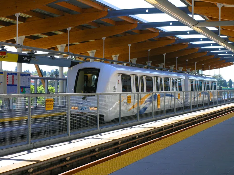
- What keeps going. SkyTrain, the Canada Line to the airport and the downtown core itself. A storm day in Vancouver is usually a museum, market and long-lunch day, not a lost one: what to do when it rains.
If an alert lands on your trip
- Move the weather-dependent day, keep the city day. Whistler, Vancouver Island and the North Shore mountains are the plans to shift. Downtown, Granville Island and the museums work in any weather.
- Book rooms you can cancel. A cancelled ferry or a closed highway often means one more night on the wrong side of the water. A rate with free cancellation costs a little more and removes the problem.
- Flying out? Take the Canada Line instead of a taxi in heavy rain or snow, and look at the YVR delay risk before you leave for the airport.
- Driving? Look at the highway cameras for the road itself. A forecast tells you less than a camera at the summit.
- On foot. Stay off the seawall near high tide during a coastal flooding statement, and out of forested parks in a wind warning.
Where to stay in Vancouver →
Rainy-day plan
Vancouver in winter
Stay22 · live rates
Where to stay in Vancouver
In Vancouver the price depends on the neighbourhood far more than on the star rating. Compare live hotel and rental rates side by side before you lock your dates.
🏨 Hotels and rentals on one map💵 Live nightly prices📍 See what is actually walkable
Official sources
Alert data: Environment and Climate Change Canada. Contains information licensed under the Open Government Licence – Canada. This page is a convenience copy and can lag the official bulletin by up to 30 minutes.
Vancouver weather alerts: quick answers
Is there a weather warning in Vancouver right now?
The box at the top of this page shows every Environment Canada warning, watch, advisory and statement currently in effect for Metro Vancouver, Howe Sound, Whistler and the Fraser Valley. It is rebuilt from the official alerts feed every 30 minutes and shows the time of the last check.
What is the difference between a weather warning and a watch in Canada?
A watch means conditions are favourable for hazardous weather to develop. A warning means it is happening or about to happen. Advisories cover weather that is less severe but still disruptive, such as fog, and a special weather statement flags unusual conditions that may worry people or need attention.
Do ferries from Vancouver run during a wind warning?
Often not on the exposed routes. BC Ferries cancels or delays sailings when wind and sea state make docking unsafe, and the decision is made sailing by sailing. Check BC Ferries current conditions before you drive to Tsawwassen or Horseshoe Bay, and keep a flexible hotel booking on the day you travel.
Does SkyTrain run in snow and storms?
SkyTrain normally keeps running in rain, wind and snow, sometimes at reduced speed or frequency. Buses are more exposed, especially on hills. TransLink posts service changes on its alerts page.
Will my phone get an emergency alert in Vancouver?
A compatible phone connected to a Canadian LTE or 5G network, including a visitor's phone that is roaming, can receive Alert Ready broadcasts. Those are kept for threats to life such as a tsunami or an evacuation order. Ordinary rain, wind and snow alerts appear in weather apps and on this page instead.
Where do I check for power outages in Vancouver?
BC Hydro publishes a live outage map and list for the Lower Mainland, with the cause and the estimated time of restoration for each outage.
What is a coastal flooding statement?
Environment Canada issues it when ocean water levels are expected to run higher than normal, usually because a storm surge arrives on top of a large winter high tide. In Vancouver the effect is felt on low, exposed shoreline: parts of the seawall, beaches and waterfront paths can be awash near high tide.