FanVancouver · Local guide
Navigation in BC — Map, Compass, Declination and the Dead Phone
Magnetic declination by BC region, map and compass basics, offline mapping apps, natural navigation, and the STOP protocol when you are lost.
FanVancouver · Local guide
Magnetic declination by BC region, map and compass basics, offline mapping apps, natural navigation, and the STOP protocol when you are lost.
Home · BC Camping · Survival · Navigation
Skills · Compass · Declination · Offline maps
Most people who get lost in BC do not walk off a map. They walk off a trail junction they did not notice, in cloud, on a phone at 8% battery.
A compass needle points to magnetic north, not true north, and in British Columbia the difference is large enough to walk you into the wrong valley.
| Area | Approximate declination (2026) |
|---|---|
| Vancouver / Lower Mainland | about 16° east |
| Vancouver Island, west coast | about 16–17° east |
| Southern Interior — Kamloops, Okanagan | about 15° east |
| Kootenays | about 14° east |
| Prince George / central BC | about 16° east |
| Northwest — Prince Rupert, Stewart | about 18–19° east |
East declination means magnetic north is east of true north. If you take a bearing from a paper map and walk it without correcting, you will drift. At 16° error you are about 280 m off course for every kilometre walked — after 5 km you are 1.4 km from where you meant to be, which in BC terrain means a different drainage.
The fix takes ten seconds and lasts the trip: set the declination on your compass using the adjustment screw on any decent baseplate model, so the compass reads true bearings directly. Failing that, subtract the east declination from a magnetic bearing to get a true one. Declination shifts slowly year to year — the figures above are approximate for 2026, and Natural Resources Canada publishes an exact calculator by coordinates.
Redundancy is the whole doctrine. Three layers, and the top two do not need batteries.
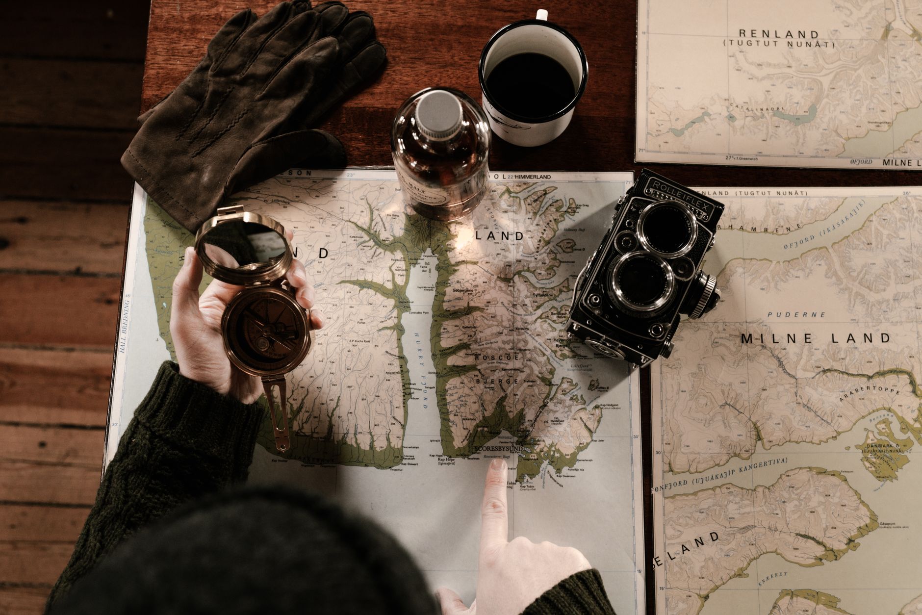
1. Paper map and baseplate compass. A 1:50,000 topo of your area, in a ziplock. Silva/Suunto-style baseplate with a declination screw. Know how to take a bearing off the map, set it, and follow it; know how to take a bearing on a visible peak and back-bearing to locate yourself.
2. Offline digital. Gaia GPS, CalTopo, OsmAnd or Avenza with the tiles downloaded before you leave the signal. This is the step people skip, and it converts a mapping app into a blank screen. Your phone has a GPS chip that works with no cell service at all — the map data is what it lacks.
3. A satellite communicator for anything remote: inReach, Zoleo, or a phone with satellite SOS. This is the layer that turns a multi-day search into a two-hour helicopter flight.
Battery discipline, since layer 2 is the one that fails:
Works:
Folklore that will hurt you:
The acronym is standard in Canadian search and rescue training, and it is standard because panic walking is what turns a two-hour problem into a four-day one.
Staying put is usually correct in British Columbia, because searchers work outward from your last known point and from your vehicle, and because the terrain punishes improvised cross-country travel severely. A lost party that stops, shelters and signals is found. A lost party that keeps moving expands the search area by the square of the distance walked.
If you must move, mark your route as you go — cairns, flagging you will retrieve, arrows scratched in dirt — so you can return and so searchers can follow. Move only in daylight. Move toward a known linear feature, not toward a feeling.
Roughly 16° east in 2026. Set that on your compass so it reads true bearings, or subtract it from any magnetic bearing. Uncorrected, 16° puts you about 280 m off line for every kilometre walked.
Yes. The GPS receiver works anywhere with sky view and no network at all. What it lacks without service is the map — so download offline tiles in Gaia, CalTopo, OsmAnd or Avenza before you leave home, and keep the phone in airplane mode to preserve battery.
No, not reliably, and least of all in coastal British Columbia where moss grows on every side of most things. It is one of the folklore beliefs that has actively contributed to people getting lost.
Usually not in BC. Coastal and mountain drainages lead into canyons, waterfalls and dense alder, and they hide you from aircraft. Unless you have a specific reason and daylight and energy to spare, stop, shelter and signal instead.
STOP: Stop moving, Think about your last known position and your resources, Observe the terrain and your map, then Plan. If it is late, the weather is bad or anyone is hurt, the plan should be to stay put, build shelter and signal.
Not legal or medical advice. Current regulations, park signage and professional training override this page. Emergency 911 · RAPP wildlife line 1-877-952-7277 · Report a wildfire 1-800-663-5555. Updated 2026-09-27.
More BC camping