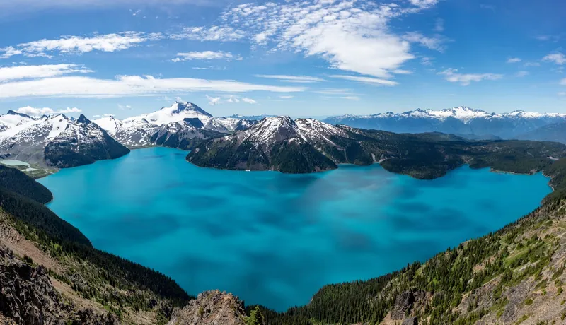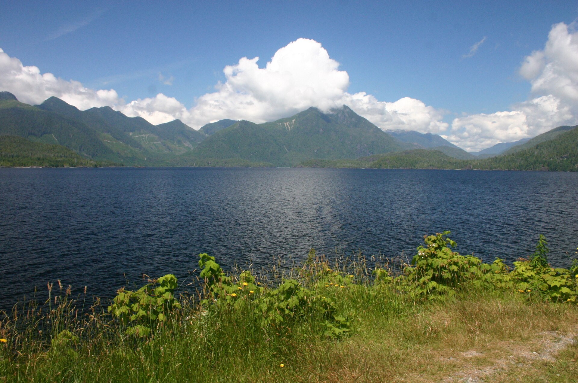
Kennedy Lake beside Highway 4 on the way to Tofino

FanVancouver · Local guide

Highway 4 Cameras Live: Road to Tofino & Ucluelet (DriveBC)

These are live DriveBC cameras on Highway 4 to Tofino and Ucluelet in driving order: Port Alberni Summit, Taylor River, Kennedy Lake and the coast.

Home · Highway cameras · Highway 4 to Tofino

Highway 4 is the only road to Tofino and Ucluelet. It leaves the east coast of Vancouver Island near Parksville, climbs over the Port Alberni Summit and follows Kennedy Lake to the Pacific. These are the province's own DriveBC cameras in driving order, east to west.

Westbound: Parksville side to the coast

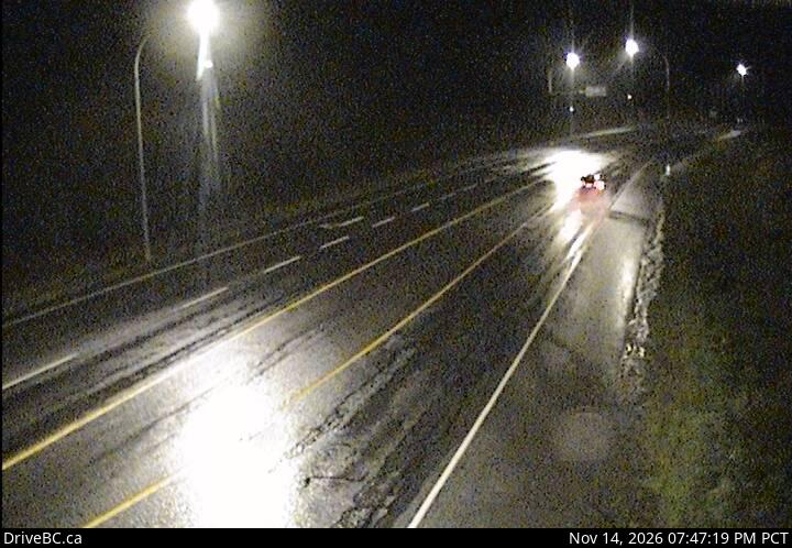
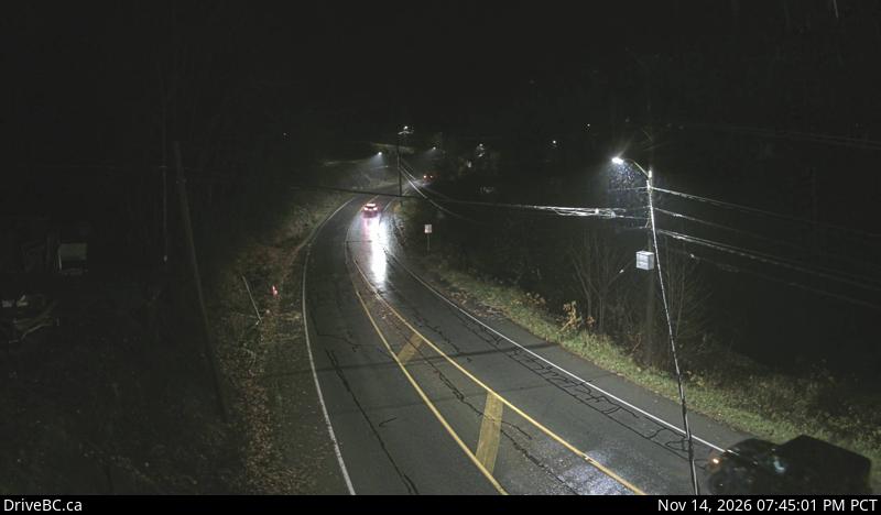
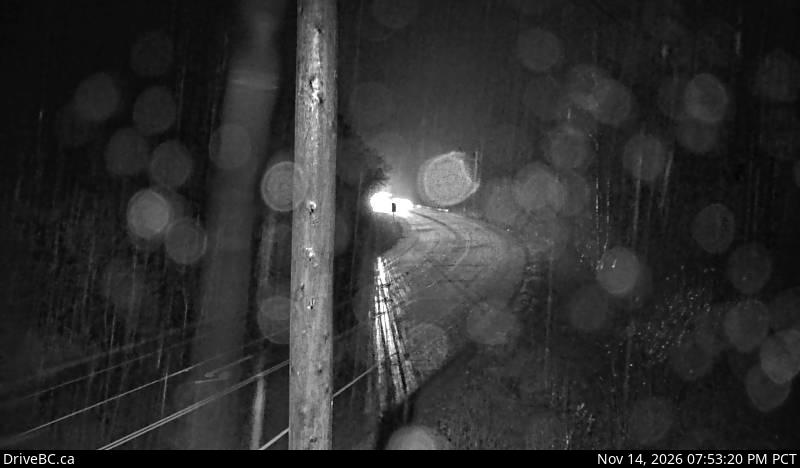
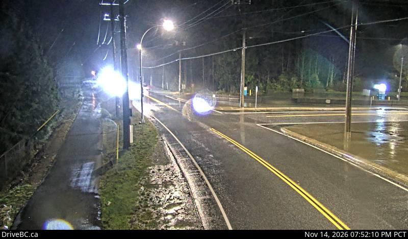
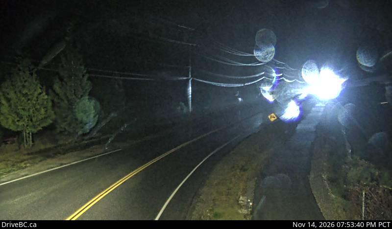
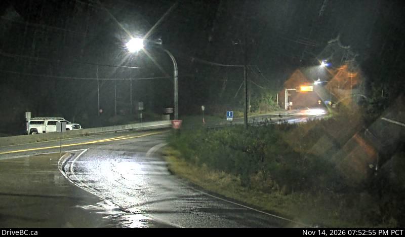
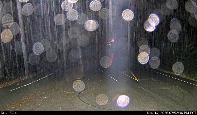
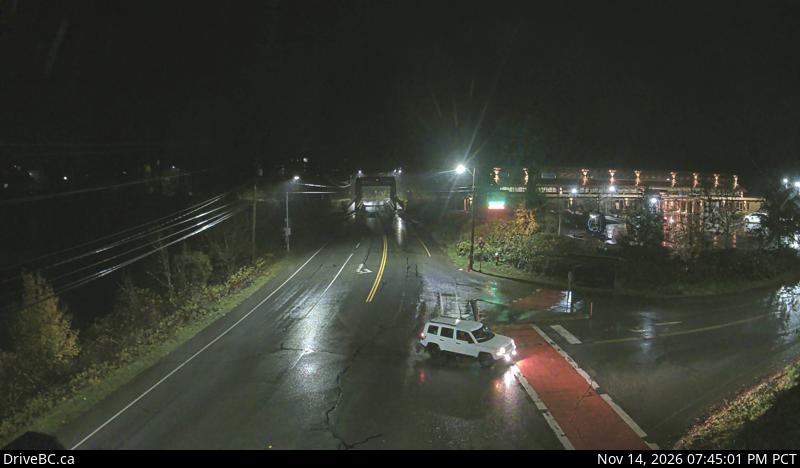
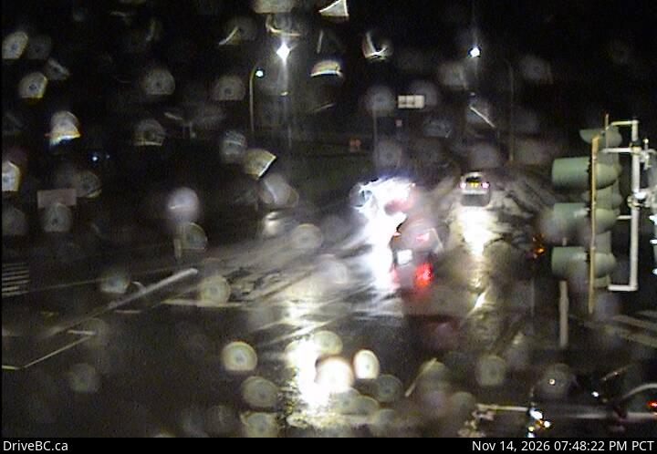
DriveBC snapshot: Highway 4 at Alberni Highway (Highway 4A) junction, about 2 km west of Coombs, looking westEast sideHighway 4 at Alberni Highway, near CoombsLooking westDriveBC snapshot · Check image timestampDriveBC snapshot: Highway 4 about 9 km east of Port Alberni, looking westThe first climbPort Alberni SummitLooking westDriveBC snapshot · Check image timestampDriveBC snapshot: Highway 4 at Tsuma-as Drive near the Riverbend Bridge, looking westPort AlberniTsuma-as Drive, Port AlberniLooking westDriveBC snapshot · Check image timestampDriveBC snapshot: Highway 4 about 37 km west of Port Alberni at turn off for Taylor River Rest Area, looking westPast Sproat LakeTaylor River rest areaLooking westDriveBC snapshot · Check image timestampDriveBC snapshot: Highway 4 by Kennedy Lake, looking westNear the coastKennedy LakeLooking westDriveBC snapshot · Check image timestampDriveBC snapshot: Highway 4 at Ucluelet-Tofino Highway junction, looking northTurn right for TofinoTofino–Ucluelet junctionLooking northDriveBC snapshot · Check image timestampDriveBC snapshot: Highway 4 at Ucluelet-Tofino Highway junction, looking south towards UclueletToward UclueletTofino–Ucluelet junctionLooking south towards UclueletDriveBC snapshot · Check image timestamp

Driving back east

DriveBC snapshot: Highway 4 at Ucluelet-Tofino Highway junction, looking east to Highway 4Leaving the coastTofino–Ucluelet junctionLooking east to Highway 4DriveBC snapshot · Check image timestampDriveBC snapshot: Highway 4 about 37 km west of Port Alberni at turn off for Taylor River Rest Area, looking eastToward Port AlberniTaylor River rest areaLooking eastDriveBC snapshot · Check image timestampDriveBC snapshot: Highway 4 at Tsuma-as Drive near the Riverbend Bridge, looking eastPort AlberniTsuma-as Drive, Port AlberniLooking eastDriveBC snapshot · Check image timestampDriveBC snapshot: Highway 4 at Alberni Highway (Highway 4A) junction, about 2 km west of Coombs, looking eastEast sideHighway 4 at Alberni Highway, near CoombsLooking eastDriveBC snapshot · Check image timestamp

Live stills from DriveBC, the Province of British Columbia's highway cameras (Open Government Licence – British Columbia). The page requests new stills every two minutes while visible. A successful load does not prove a recent capture: check the timestamp in the image. Tap a camera to open it on DriveBC.

All B.C. highway cameras → Closures and delays

Before you drive Highway 4

  • There is no detour. When Highway 4 closes for a crash, a slide or road work, you wait. The road closures page lists current DriveBC events; check it before the ferry, not after.
  • Fill the tank in Port Alberni. It is the last town before a long stretch of lake and forest with few services.
  • Winter tires are the law on signed B.C. highways from 1 October. The Port Alberni Summit and the stretch past Taylor River can be snowy when Tofino is only wet. Details on driving in B.C.
  • Check the time stamped in each image. A frozen frame tells you nothing about the road now; open the camera on DriveBC if the time looks wrong.

Getting to the start of Highway 4

  • From Vancouver, the usual route is the ferry from Horseshoe Bay to Departure Bay in Nanaimo, then north to the Highway 4 turn-off near Parksville. Today's deck space is on the BC Ferries live board.

Related

Header photo: “Kennedy Lake along Highway 4” by Wing-Chi Poon, CC BY-SA 3.0, cropped.

More BC camping