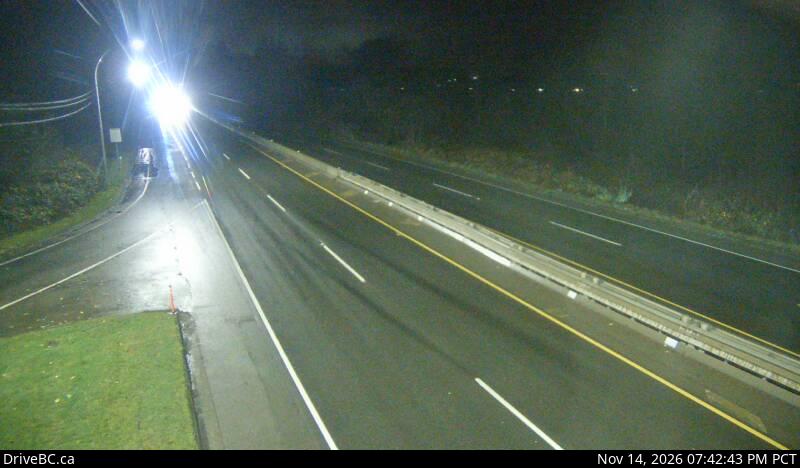
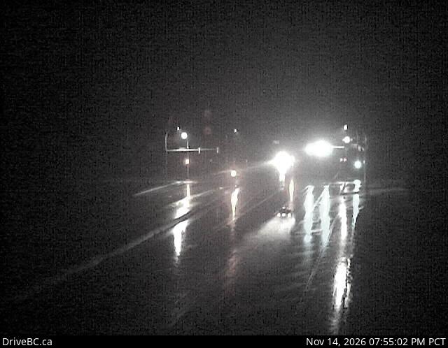
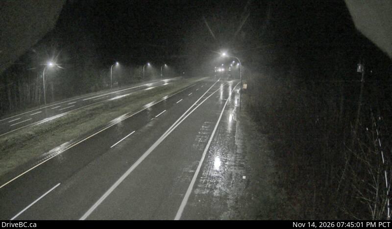
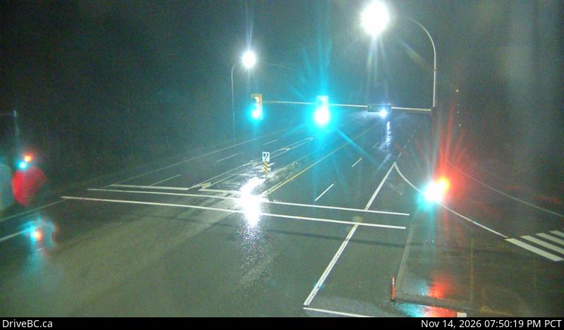
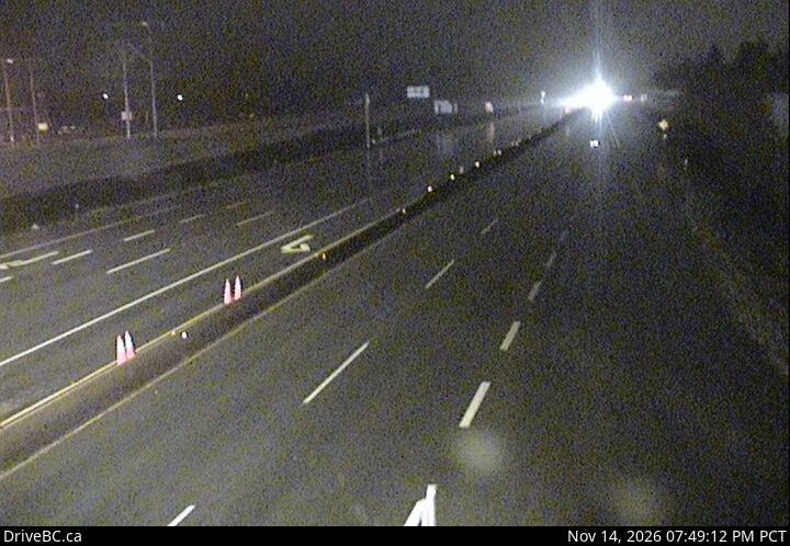
Nanaimo, where Highway 19 starts its run up Vancouver Island

FanVancouver · Local guide

Highway 19 cameras: Nanaimo to Port Hardy — 20 live DriveBC views

Live DriveBC cameras on Highway 19 up Vancouver Island in driving order: Nanaimo Parkway, Nanoose, Qualicum, Buckley Bay, Courtenay area, Campbell River.

Home · Highway cameras · Highway 19: Nanaimo to Port Hardy

Highway 19 is the Island Highway: from the Nanaimo ferry terminals north past Parksville, Qualicum, the Comox Valley and Campbell River to Port Hardy. These are the province's own DriveBC cameras in driving order, south to north.

Nanaimo to Qualicum

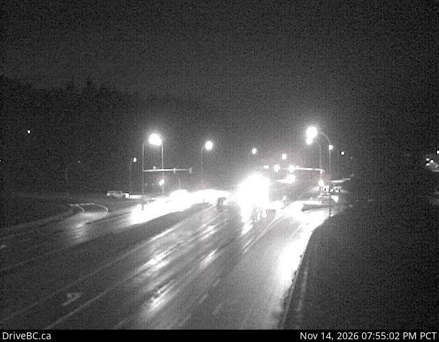
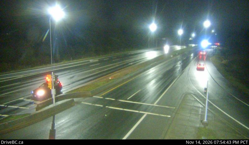
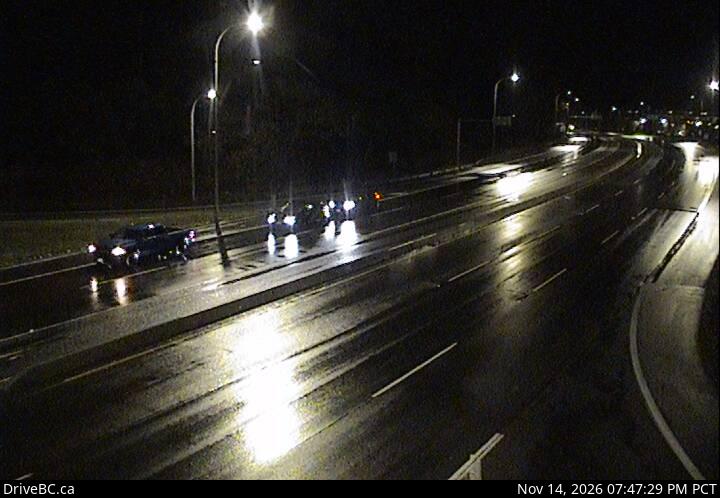
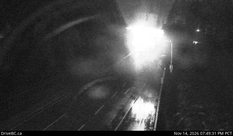
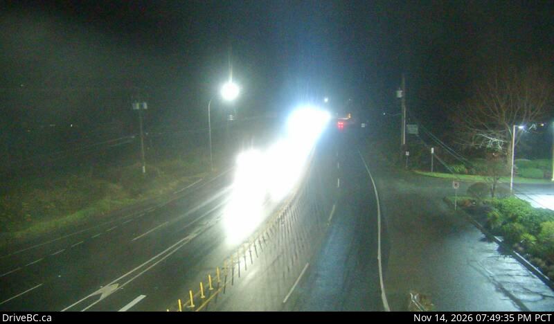
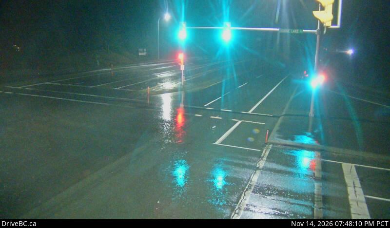
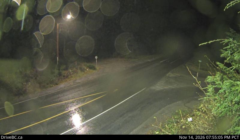
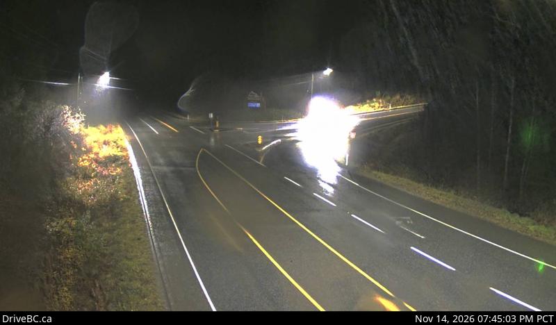
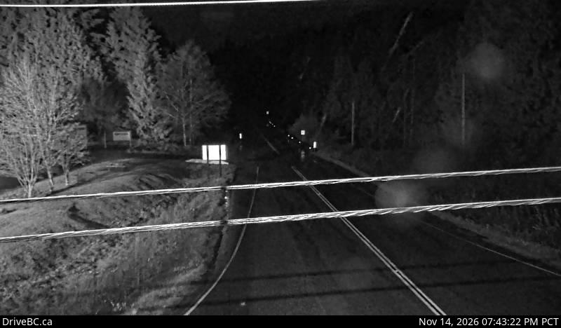
DriveBC snapshot: Highway 19 at College Drive, looking northNanaimoNanaimo Parkway at College DriveLooking northDriveBC snapshot · Check image timestampDriveBC snapshot: Highway 19 at Northfield Road in Nanaimo, looking northNanaimoNorthfield RoadLooking northDriveBC snapshot · Check image timestampDriveBC snapshot: Highway 19 at Aulds Road in Nanaimo, looking northNanaimo, north endAulds RoadLooking northDriveBC snapshot · Check image timestampDriveBC snapshot: Highway 19 near McKercher Road in Lantzville, looking northboundNorth of NanaimoLantzvilleLooking northboundDriveBC snapshot · Check image timestampDriveBC snapshot: Highway 19 at the Nanoose Rest Area, looking northNanooseNanoose rest areaLooking northDriveBC snapshot · Check image timestampDriveBC snapshot: Highway 19 at Northwest Bay Road near Nanoose Bay, looking northNorthwest Bay RoadNanoose BayLooking northDriveBC snapshot · Check image timestampDriveBC snapshot: Highway 19 south of Qualicum Interchange at Highway 4, looking eastHighway 4 turn-off for TofinoQualicum InterchangeLooking eastDriveBC snapshot · Check image timestamp

Qualicum to Campbell River

DriveBC snapshot: Highway 19 at Horne Lake Road, looking northNorth of QualicumHorne Lake RoadLooking northDriveBC snapshot · Check image timestampDriveBC snapshot: Highway 19 about 29 km north of Parksville at Cook Creek Road, looking northNorth of ParksvilleCook Creek RoadLooking northDriveBC snapshot · Check image timestampDriveBC snapshot: Highway 19 near the Buckley Bay Road Interchange, looking northFerry turn-off for Denman and HornbyBuckley BayLooking northDriveBC snapshot · Check image timestampDriveBC snapshot: Hwy 19 at Piercy Road, looking northComox ValleyPiercy RoadLooking northDriveBC snapshot · Check image timestampDriveBC snapshot: Highway 19 about 2.5 km south of Campbell River at Willis Road, looking northSouth of town at Willis RoadCampbell RiverLooking northDriveBC snapshot · Check image timestamp

North Island: Campbell River to Port Hardy

DriveBC snapshot: Highway 19 north of Campbell River between Orange Point Road and Duncan Bay Road, looking northNorth of Campbell RiverDuncan BayLooking northDriveBC snapshot · Check image timestampDriveBC snapshot: Highway 19 about 7 km southeast of Roberts Lake and 24 km north of Campbell River at Menzies Hill, looking northNorth of Campbell RiverMenzies HillLooking northDriveBC snapshot · Check image timestampDriveBC snapshot: Highway 19 about 31 km north of Campbell River, looking northNorth of Campbell RiverRoberts LakeLooking northDriveBC snapshot · Check image timestampDriveBC snapshot: Highway 19 about 101 km north of Campbell River and about 27 km south of Woss near Tsitika, looking southeastBetween Sayward and WossTsitikaLooking southeastDriveBC snapshot · Check image timestampDriveBC snapshot: Highway 19 about 75 km southeast of Port McNeill and 128 km north of Campbell River, looking eastNorth IslandWossLooking eastDriveBC snapshot · Check image timestampDriveBC snapshot: Highway 19 about 4.5 km south of Port McNeill near Hyde Creek Road, looking eastSouth of Port McNeillHyde Creek RoadLooking eastDriveBC snapshot · Check image timestampDriveBC snapshot: Highway 19 at Highway 30 (Port Alice Road) between Port Hardy and Port McNeill, looking southBetween Port McNeill and Port HardyPort Alice RoadLooking southDriveBC snapshot · Check image timestampDriveBC snapshot: Highway 19 at Douglas Street, looking north along Highway 19 (Bear Cove Highway)Douglas Street, toward Bear CovePort HardyLooking north along Highway 19 (Bear Cove Highway)DriveBC snapshot · Check image timestamp

Live stills from DriveBC, the Province of British Columbia's highway cameras (Open Government Licence – British Columbia). The page requests new stills every two minutes while visible. A successful load does not prove a recent capture: check the timestamp in the image. Tap a camera to open it on DriveBC.

All B.C. highway cameras → Closures and delays

How to use these cameras

  • Coming off a ferry? Both Nanaimo terminals feed straight into this road. Sailings and deck space are on the BC Ferries live page.
  • Turning west for Tofino? Highway 4 leaves at the Qualicum Interchange; continue with the Highway 4 cameras.
  • North of Campbell River the road is remote. The last row is the place to look for snow and fog before you commit to the drive to Port Hardy.
  • Check the time stamped in each image. A frozen frame tells you nothing about the road now; open the camera on DriveBC if the time looks wrong.

Related

On the road around Vancouver