Okanagan lake country at the east end of the Connector

FanVancouver · Local guide

Okanagan Connector Cameras Live: Hwy 97C, Merritt to Kelowna

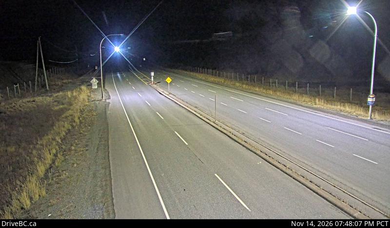
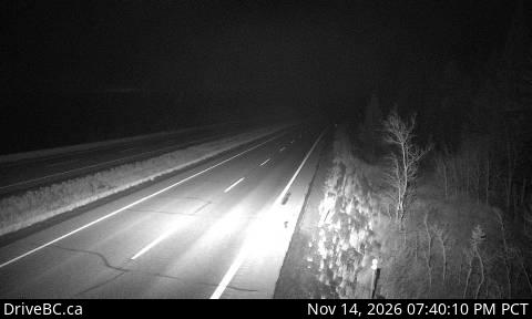
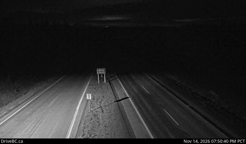
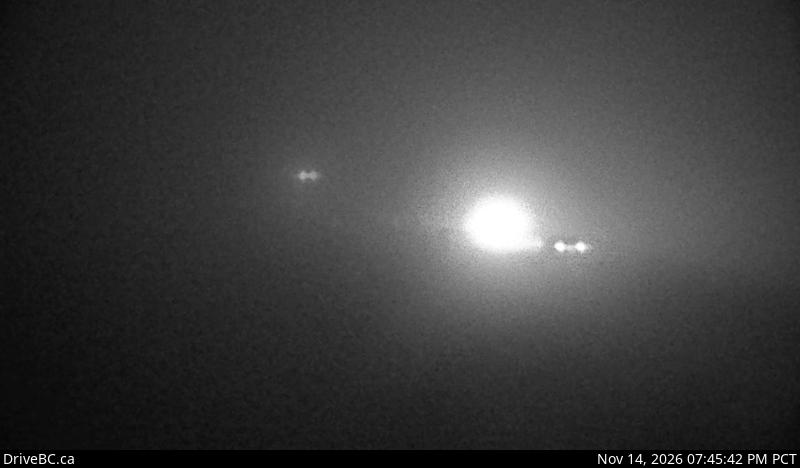
Live DriveBC cameras on the Okanagan Connector (Highway 97C) in driving order: Aspen Grove, Pothole Lake, Elkhart, Pennask Summit and Brenda Mine.

Home · Highway cameras · Okanagan Connector

The Okanagan Connector, Highway 97C, links the Coquihalla near Merritt with Highway 97 on Okanagan Lake between Peachland and West Kelowna. It is the fastest road from Vancouver to Kelowna and one of the highest highways in the province. These are the province's own DriveBC cameras in driving order, west to east, with a second row for the drive back.

Eastbound: toward Kelowna

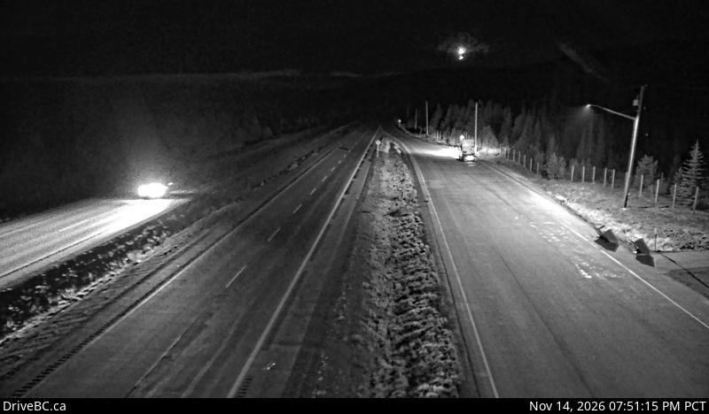
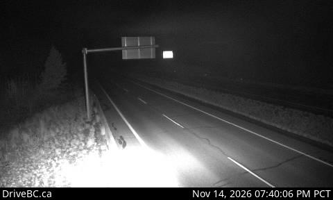
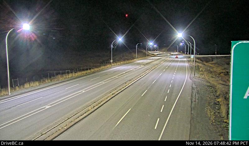
DriveBC snapshot: Highway 97C (Okanagan Connector) at Highway 5A junction near Aspen Grove, looking northHighway 5A junctionAspen GroveLooking northDriveBC snapshot · Check image timestampDriveBC snapshot: Highway 97C (Okanagan Connector) about 7 km east of Aspen Grove near Pothole Lake, looking eastEast of Aspen GrovePothole LakeLooking eastDriveBC snapshot · Check image timestampDriveBC snapshot: Highway 97C (Okanagan Connector) about 25 km east of Highway 5A and Highway 97C junction, looking eastMid-routeElkhartLooking eastDriveBC snapshot · Check image timestampDriveBC snapshot: Highway 97C (Okanagan Connector) about 74 km west of Kelowna, looking eastThe high pointPennask SummitLooking eastDriveBC snapshot · Check image timestampDriveBC snapshot: Highway 97C (Okanagan Connector) about 22 km west of Highway 97 and Highway 97C Junction, looking eastStart of the descent to Okanagan LakeBrenda MineLooking eastDriveBC snapshot · Check image timestamp

Westbound: toward Merritt and Vancouver

DriveBC snapshot: Highway 97C (Okanagan Connector), about 22 km west of Highway 97 and Highway 97C junction, looking westTop of the climb from Okanagan LakeBrenda MineLooking westDriveBC snapshot · Check image timestampDriveBC snapshot: Highway 97C (Okanagan Connector) about 74 km west of Kelowna, looking westThe high pointPennask SummitLooking westDriveBC snapshot · Check image timestampDriveBC snapshot: Highway 97C (Okanagan Connector) about 25 km east of Highway 5A and Highway 97C junction, looking westMid-routeElkhartLooking westDriveBC snapshot · Check image timestampDriveBC snapshot: Highway 97C (Okanagan Connector) about 7 km east of Aspen Grove near Pothole Lake, looking westBefore Aspen GrovePothole LakeLooking westDriveBC snapshot · Check image timestampDriveBC snapshot: Highway 97C (Okanagan Connector) at Highway 5A junction near Aspen Grove, looking southHighway 5A junctionAspen GroveLooking southDriveBC snapshot · Check image timestamp

Live stills from DriveBC, the Province of British Columbia's highway cameras (Open Government Licence – British Columbia). The page requests new stills every two minutes while visible. A successful load does not prove a recent capture: check the timestamp in the image. Tap a camera to open it on DriveBC.

All B.C. highway cameras → Closures and delays

Before you drive the Connector

  • Pennask Summit is the frame that matters. At 1,728 m it is far higher than the Coquihalla Summit, so it can be snow-covered when both ends of the road are bare.
  • Winter tires are the law on signed B.C. highways from 1 October, and this route is signed. Details on driving in B.C.
  • You reach the Connector over the Coquihalla. Check the Coquihalla cameras for the Hope to Merritt leg first.
  • Check the time stamped in each image. A frozen frame tells you nothing about the road now; open the camera on DriveBC if the time looks wrong.

Related

On the road around Vancouver