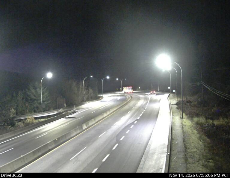
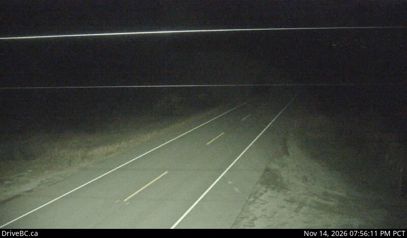
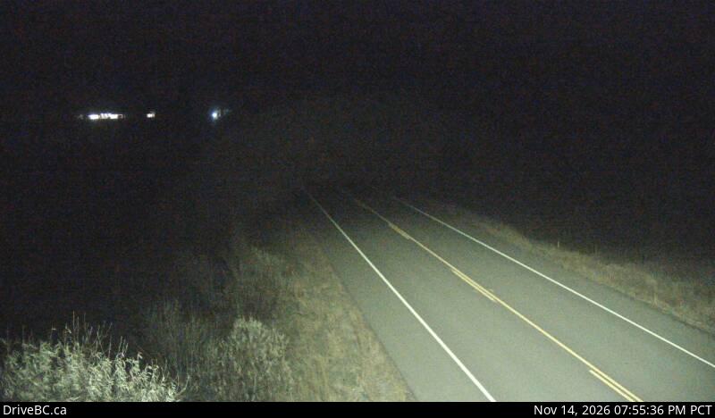
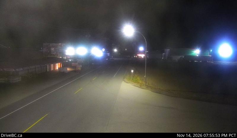
Manning Park, where Highway 3 crosses Allison Pass

FanVancouver · Local guide

Highway 3 cameras: Hope to Osoyoos — 16 live DriveBC views

Live DriveBC cameras on the Crowsnest Highway (Hwy 3) in driving order: Hope Slide, Allison Pass in Manning Park, Sunday Summit, Princeton.

Home · Highway cameras · Highway 3: Hope to Osoyoos

Highway 3, the Crowsnest, leaves Highway 1 at Hope and climbs through Manning Park over Allison Pass before dropping to Princeton, the Similkameen Valley and Osoyoos. It is the southern alternative to the Coquihalla. These are the province's own DriveBC cameras in driving order, west to east, with a second row for the drive back.

Eastbound: Hope to Princeton

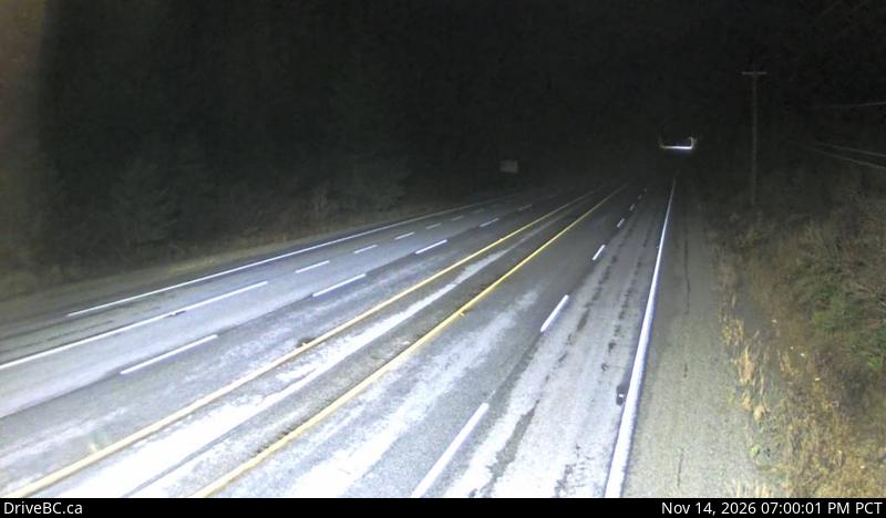
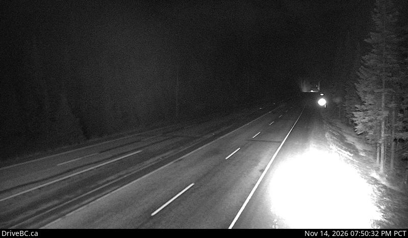
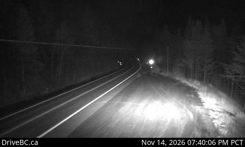
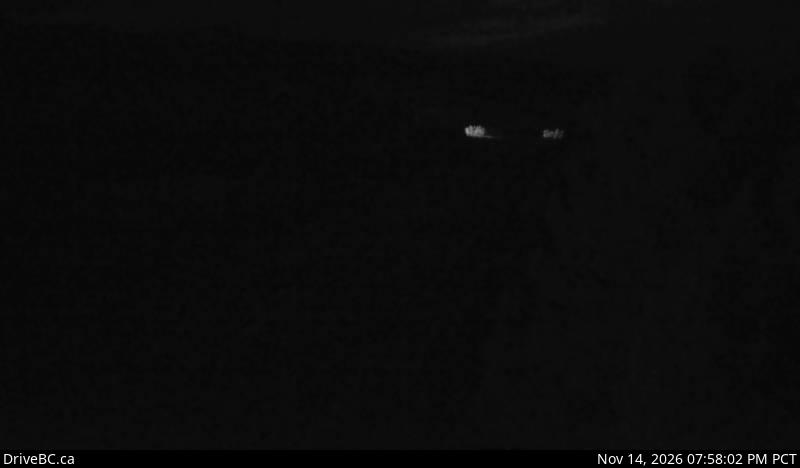
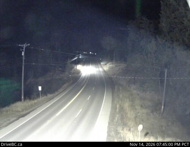
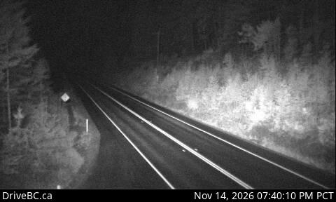
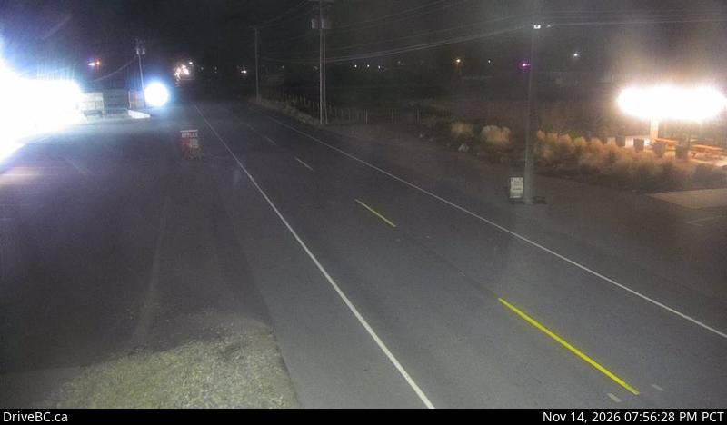
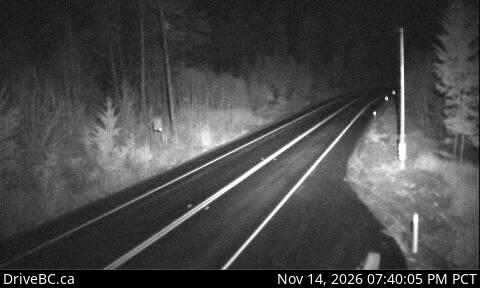
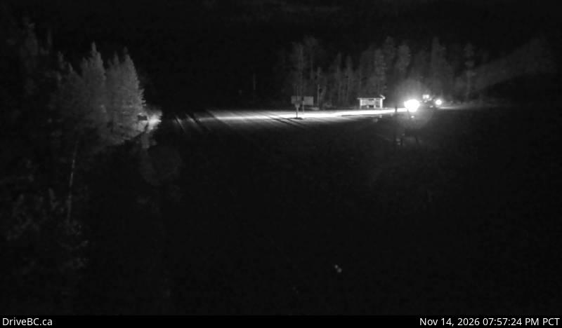
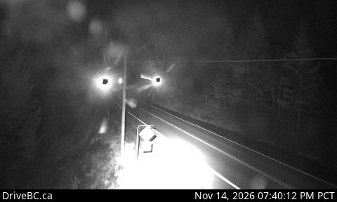
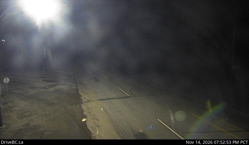
DriveBC snapshot: Highway 3 at Highway 3/5 junction, looking eastEast of HopeHighway 3 and 5 junctionLooking eastDriveBC snapshot · Check image timestampDriveBC snapshot: Highway 3 at the Hope Slide pullout, looking eastPullout east of HopeHope SlideLooking eastDriveBC snapshot · Check image timestampDriveBC snapshot: Highway 3 about 10 km west of Manning Park resort area at Allison Pass, looking eastManning Park, the high pointAllison PassLooking eastDriveBC snapshot · Check image timestampDriveBC snapshot: Highway 3 about 6 kms east of Eastgate near Similkameen Falls, looking eastEast of EastgateSimilkameen FallsLooking eastDriveBC snapshot · Check image timestampDriveBC snapshot: Highway 3 about 32 km south of Princeton, looking northSouth of PrincetonSunday SummitLooking northDriveBC snapshot · Check image timestampDriveBC snapshot: Highway 3 at Frontage Road on the west side of Princeton, looking southWest side of townPrincetonLooking southDriveBC snapshot · Check image timestamp

Eastbound: Princeton to Osoyoos

DriveBC snapshot: Highway 3 about 1.4 km east of Bromley Rock Provincial Park, looking eastEast of PrincetonBromley RockLooking eastDriveBC snapshot · Check image timestampDriveBC snapshot: Highway 3 at Keremeos Bypass Road, looking eastBypass RoadKeremeosLooking eastDriveBC snapshot · Check image timestampDriveBC snapshot: Highway 3 next to Conifryd Lake, looking eastBetween Keremeos and OsoyoosMount KobauLooking eastDriveBC snapshot · Check image timestampDriveBC snapshot: Highway 3 about 9 km west of the Anarchist Summit, looking eastEast of OsoyoosAnarchist MountainLooking eastDriveBC snapshot · Check image timestamp

Westbound: back to Hope

DriveBC snapshot: Highway 3 next to Conifryd Lake, looking westLeaving OsoyoosMount KobauLooking westDriveBC snapshot · Check image timestampDriveBC snapshot: Highway 3 at Keremeos Bypass Road, looking westBypass RoadKeremeosLooking westDriveBC snapshot · Check image timestampDriveBC snapshot: Highway 3 about 1.4 km east of Bromley Rock Provincial Park, looking westBefore PrincetonBromley RockLooking westDriveBC snapshot · Check image timestampDriveBC snapshot: Highway 3 about 32 km south of Princeton, looking southSouth of PrincetonSunday SummitLooking southDriveBC snapshot · Check image timestampDriveBC snapshot: Highway 3 about 6 kms east of Eastgate near Similkameen Falls, looking westBefore Manning ParkSimilkameen FallsLooking westDriveBC snapshot · Check image timestampDriveBC snapshot: Highway 3 about 10 km west of Manning Park resort area at Allison Pass, looking westManning Park, the high pointAllison PassLooking westDriveBC snapshot · Check image timestamp

Live stills from DriveBC, the Province of British Columbia's highway cameras (Open Government Licence – British Columbia). The page requests new stills every two minutes while visible. A successful load does not prove a recent capture: check the timestamp in the image. Tap a camera to open it on DriveBC.

All B.C. highway cameras → Closures and delays

Before you drive Highway 3

  • Allison Pass is the frame to look at first. At 1,342 m it holds snow when Hope is only wet, and it is where chain-ups and closures usually begin.
  • Winter tires are the law on signed B.C. highways from 1 October, and this route is signed. Details on driving in B.C.
  • Compare with the Coquihalla before you choose. Both routes start at Hope; the Coquihalla cameras show the other one.
  • Check the time stamped in each image. A frozen frame tells you nothing about the road now; open the camera on DriveBC if the time looks wrong.

Related

On the road around Vancouver