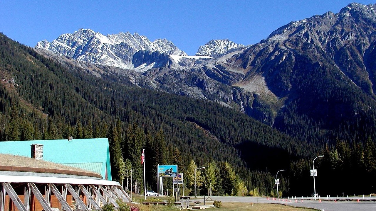
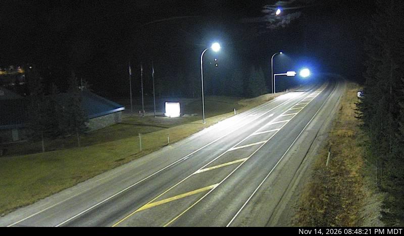
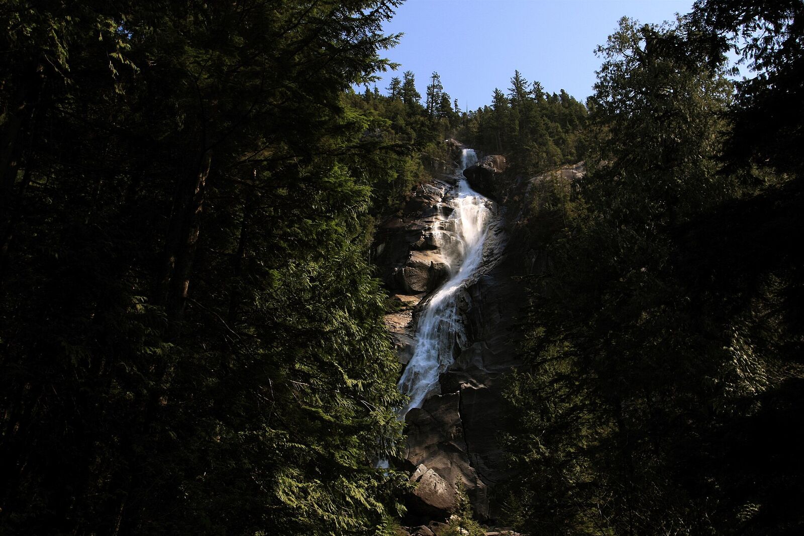
The Rogers Pass summit area on Highway 1 in Glacier National Park

FanVancouver · Local guide

Rogers Pass cameras: Revelstoke to Banff on Highway 1 — 19 live DriveBC views

Live DriveBC cameras on Highway 1 through the mountains in driving order: Revelstoke, Albert Canyon, Rogers Pass, Golden, Kicking Horse Canyon, Field.

Home · Highway cameras · Rogers Pass and Kicking Horse

East of Revelstoke the Trans-Canada crosses Rogers Pass in Glacier National Park, drops to Golden, then climbs through Kicking Horse Canyon and Yoho to Lake Louise and Banff. It is the mountain section of the drive from Vancouver to Calgary. These are the province's own DriveBC cameras in driving order, west to east, with a second row for the drive back.

Eastbound: Revelstoke to Golden

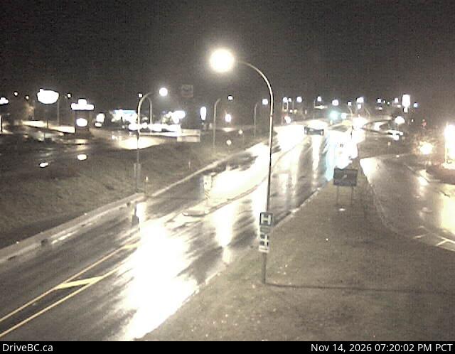
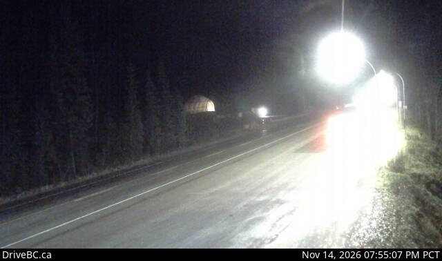
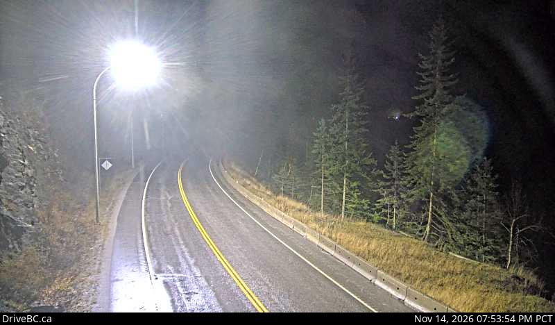
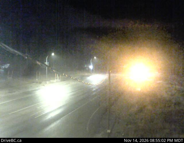
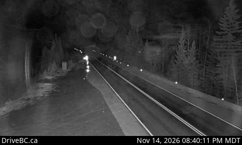
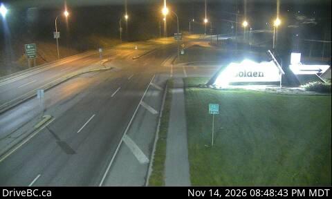
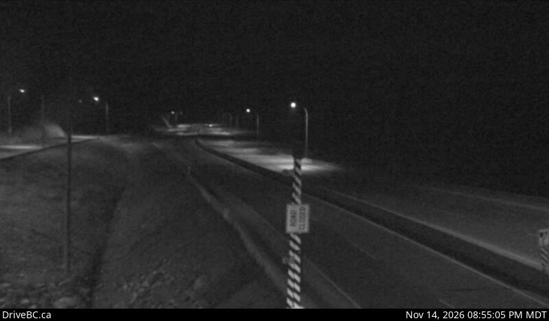
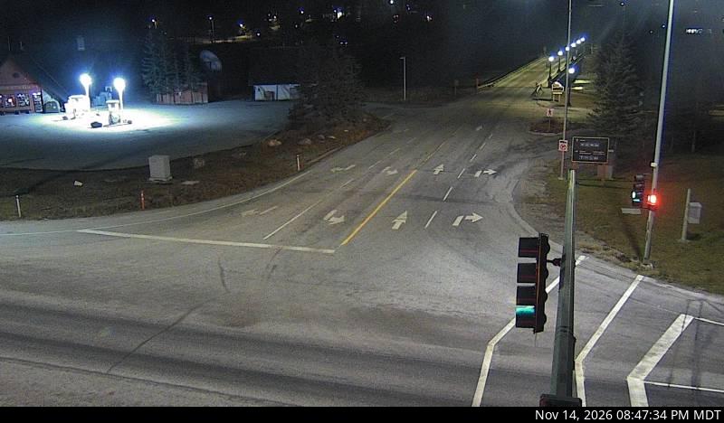
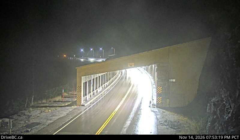
DriveBC snapshot: Highway 1 at east end of Columbia River Bridge in Revelstoke, looking eastboundColumbia River BridgeRevelstokeLooking eastboundDriveBC snapshot · Check image timestampDriveBC snapshot: Highway 1 about 30 km east of Revelstoke, looking eastEast of RevelstokeAlbert CanyonLooking eastDriveBC snapshot · Check image timestampDriveBC snapshot: Highway 1 about 46 km east of Revelstoke, looking eastWest side of the passJack McDonald SnowshedLooking eastDriveBC snapshot · Check image timestampDriveBC snapshot: Highway 1 about 72 km east of Revelstoke at Rogers Pass in Glacier National Park, looking eastGlacier National ParkRogers PassLooking eastDriveBC snapshot · Check image timestampDriveBC snapshot: Highway 1 about 40 km west of Golden on the Quartz Creek bridge, looking eastWest of GoldenQuartz CreekLooking eastDriveBC snapshot · Check image timestampDriveBC snapshot: Highway 1 about 28 km north of Golden near Donald Bridge, looking eastNorth of GoldenDonald BridgeLooking eastDriveBC snapshot · Check image timestampDriveBC snapshot: Highway 1 near Blaeberry River Bridge, looking southeastBefore GoldenBlaeberryLooking southeastDriveBC snapshot · Check image timestampDriveBC snapshot: Highway 1 at Highway 95 interchange, looking eastbound along Highway 1Highway 95 interchangeGoldenLooking eastbound along Highway 1DriveBC snapshot · Check image timestamp

Eastbound: Golden to Banff

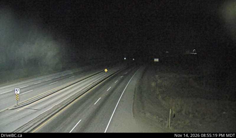
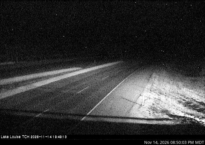
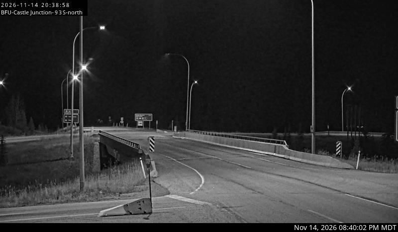
DriveBC snapshot: Highway 1 at 10 Mile Brake Check in Kicking Horse Canyon, looking east10 Mile brake checkKicking Horse CanyonLooking eastDriveBC snapshot · Check image timestampDriveBC snapshot: Highway 1 about 16 km west of BC/Alberta border at Field Access Road, looking southeastYoho National ParkFieldLooking southeastDriveBC snapshot · Check image timestampDriveBC snapshot: Highway 1 west of Lake Louise Overpass in Alberta, looking westAlbertaLake LouiseLooking westDriveBC snapshot · Check image timestampDriveBC snapshot: Highway 1 at Highway 93S junction, looking eastHighway 93S junctionCastle MountainLooking eastDriveBC snapshot · Check image timestampDriveBC snapshot: Highway 1 east of Sunshine Ski Hill, looking eastNear the Sunshine turn-offBanffLooking eastDriveBC snapshot · Check image timestamp

Westbound: back toward Revelstoke

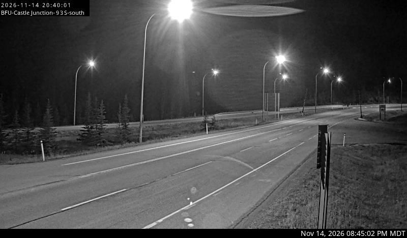
DriveBC snapshot: Highway 1 east of Sunshine Ski Hill overpass in Alberta, looking westNear the Sunshine turn-offBanffLooking westDriveBC snapshot · Check image timestampDriveBC snapshot: Highway 1 at Highway 93S junction, looking westHighway 93S junctionCastle MountainLooking westDriveBC snapshot · Check image timestampDriveBC snapshot: Highway 1 about 16 km west of BC/Alberta border at Field Access Road, looking southwestYoho National ParkFieldLooking southwestDriveBC snapshot · Check image timestampDriveBC snapshot: Highway 1 about 40 km west of Golden near the Quartz Creek bridge, looking westWest of GoldenQuartz CreekLooking westDriveBC snapshot · Check image timestampDriveBC snapshot: Highway 1 about 46 km east of Revelstoke, looking westWest side of the passJack McDonald SnowshedLooking westDriveBC snapshot · Check image timestampDriveBC snapshot: Highway 1 about 14 km west of Revelstoke, looking westWest of RevelstokeClanwilliamLooking westDriveBC snapshot · Check image timestamp

Live stills from DriveBC, the Province of British Columbia's highway cameras (Open Government Licence – British Columbia). The page requests new stills every two minutes while visible. A successful load does not prove a recent capture: check the timestamp in the image. Tap a camera to open it on DriveBC.

All B.C. highway cameras → Closures and delays

Before you drive Rogers Pass

  • The highway closes for avalanche control. Winter closures at Rogers Pass are planned work, not accidents, and can hold traffic at Revelstoke or Golden. Current events are on road closures and delays.
  • Winter tires are the law on signed B.C. highways from 1 October, and this route is signed. Details on driving in B.C.
  • Fuel and food are in Revelstoke and Golden. There is a long stretch through the national park between them with very little open in winter.
  • Check the time stamped in each image. A frozen frame tells you nothing about the road now; open the camera on DriveBC if the time looks wrong.

Related

On the road around Vancouver