FanVancouver · Local guide
Rathtrevor Beach Provincial Park
Rathtrevor Beach camping 2026: nightly fees by campground, booking window, facilities and step-by-step arrival. Fees from $51 a night in peak season.
FanVancouver · Local guide
Rathtrevor Beach camping 2026: nightly fees by campground, booking window, facilities and step-by-step arrival. Fees from $51 a night in peak season.
Home · BC Camping · Rathtrevor Beach Provincial Park
Vancouver Island · Parksville · frontcountry
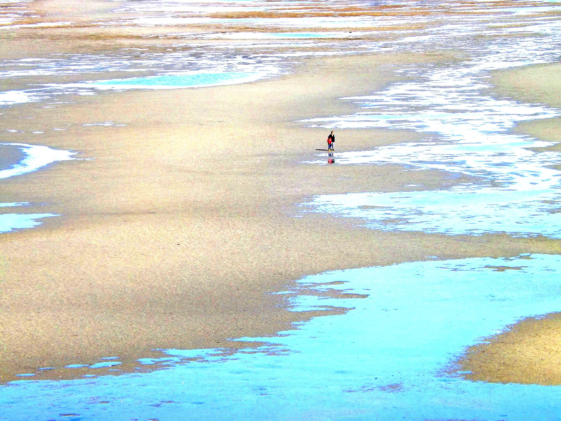
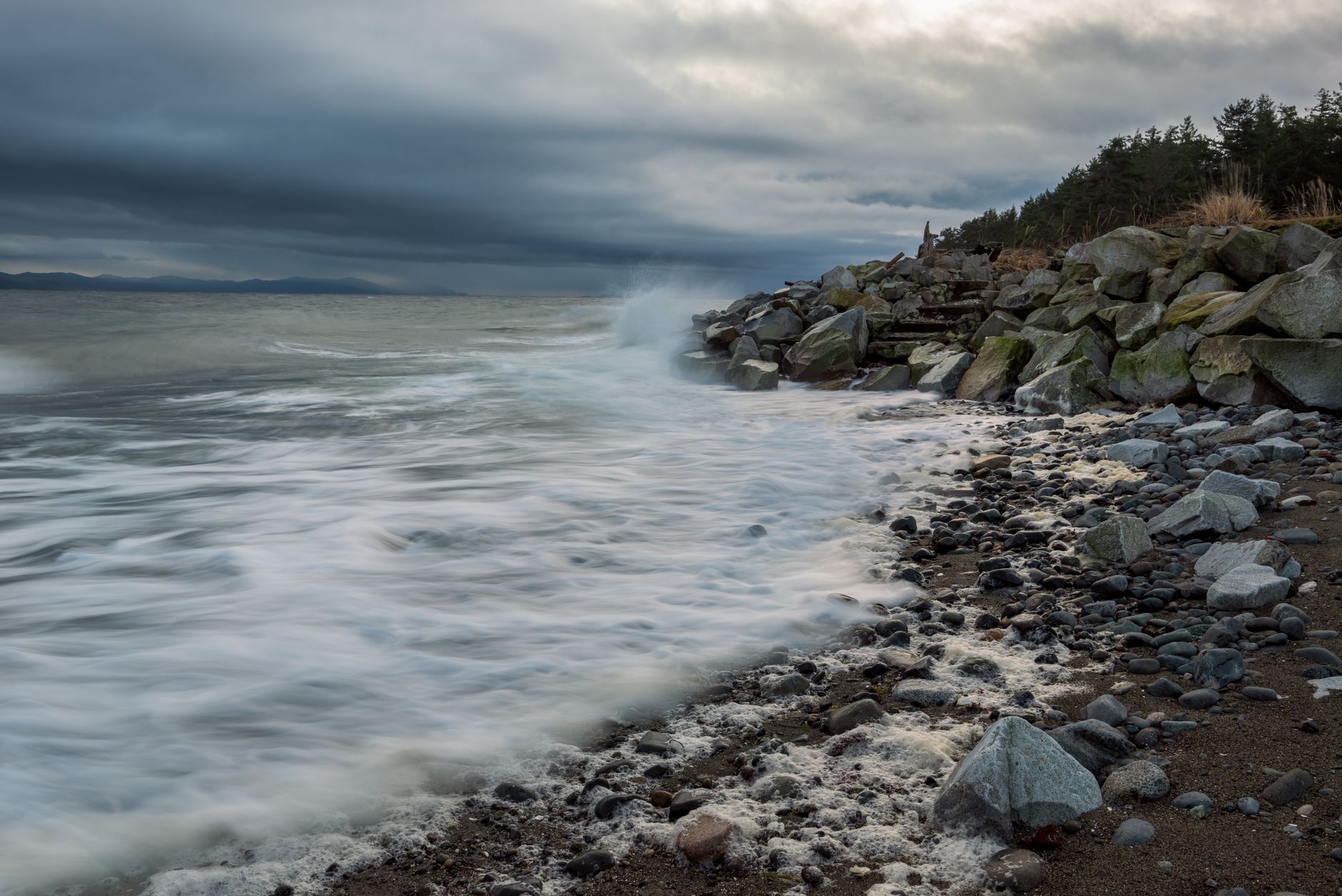
A beach so wide at low tide it feels like the ocean borrowed the sky’s room.
Family favourite — reserve summer Peak summer + warm shoulderRathtrevor is where Island childhoods are printed in sand: kites, tidepools, long golden evenings that make dinner late on purpose. The campground sits in fir shade a stroll from one of BC’s great family beaches.
Full facilities, full summer demand. If you need a free site tomorrow morning in August, the honest answer is usually no — unless the official calendar says yes.
| Campground / service | Peak season | Shoulder season | Winter |
|---|---|---|---|
| Main campground | $51 | $35 | $13 |
| Walk-in / cycle-in campground | $32 | $22 | — |
| Group site (base) | $120 | $120 | — |
| Group picnicking | $50 per site per day | — | — |
| Sani-station | $5 per discharge | — | — |
Fees per party per night unless stated otherwise, verified against the BC Parks fee schedule on 2026-08-04. A dash means the campground does not operate in that season or the fee is not published separately. Transaction fees are extra.
Nearest service hub: Parksville / Qualicum
Fuel in Nanaimo or Parksville. Easy services — still fill before long beach days with kids.
Parksville beach toys, bikes, and tourist rentals everywhere in summer.
Building a kit from scratch? See the BC camping gear guide — tents, sleeping systems, stoves and bear spray.
Mild Island climate; warmest beach culture on east Island. Check Parksville forecast; UV is sneaky in sea breeze.
Always re-check the morning you leave: Environment Canada + BC wildfire map + DriveBC.
Store food, garbage, coolers, toiletries and dishwater in a locked hard-sided vehicle or the campground's locker. BC Parks specifically asks you not to hang food at frontcountry campgrounds — that is a backcountry technique, and a badly hung bag simply teaches a bear where the food is. Keep 100 m from bears, wolves, coyotes and cougars, and 30 m from deer, moose, elk and wild sheep. Report dangerous or habituated wildlife to RAPP at 1-877-952-7277.
Open in Google Maps · coords ~49.32, -124.27
Nightly fees range from $51 in peak season at main campground, per the current BC Parks fee schedule. Add a $6 per night per site reservation transaction fee, and from May 15, 2026 a $20 per stay fee for visitors without BC residency proof.
3 months to the day before arrival, with new inventory released at 7:00 am Pacific Time daily. Reservations close 8:00 pm two days before arrival at parks without internet connectivity. Note that a booking made on the first day of your window cannot have its dates or length changed later — only cancelled.
Rings when bans allow. Prohibitions change through the summer and are enforced — a violation ticket is $1,150, and a fire that escapes can cost up to $1,000,000 and/or up to 3 years in jail, plus the government's firefighting and damage costs. Check the current ban status before you light anything.
Yes, in the ordinary British Columbia sense. Store all food, garbage, coolers, toiletries and dishwater in a locked hard-sided vehicle or the provided locker — BC Parks specifically asks you not to hang food at frontcountry campgrounds. Keep 100 m from bears, wolves, coyotes and cougars, and 30 m from deer, moose, elk and wild sheep. Report dangerous wildlife to RAPP at 1-877-952-7277.
Planning guidance only — facilities and access change with season, construction and emergency orders. Fees verified against the official BC Parks schedule on 2026-08-04; confirm on the official park page before you travel. Updated 2026-09-27.
More BC camping